What an amazing view! I don’t even think I can describe how tranquil the meandering cut was. I enjoyed sitting on the bow taking in the view. http://www.sailbeauty.com
It’s amazing to think that this cut connects the Tennessee and the Tombigbee River basins. When we reached the start of the cut from Yellow Creek, we saw parts of tree stumps and sand bars off the channel. It was very important to stay between the buoys and markers.
As we enter the 280 feet wide canal, we notice the banks are rock covered to help stop erosion. Our depth gage read 17 feet. I read that one of the challenging tasks was the removal of 150 million cubic yards of dirt to dig the cut. Apparently it took seven different contractors to remove move the dirt. It took an amazing eight years to complete the 27 mile Divide Cut. It apparently removed more dirt than the digging of the Panama canal. We cannot anchor in the Divide cut because there is no way to stay out of the way of barge traffic.
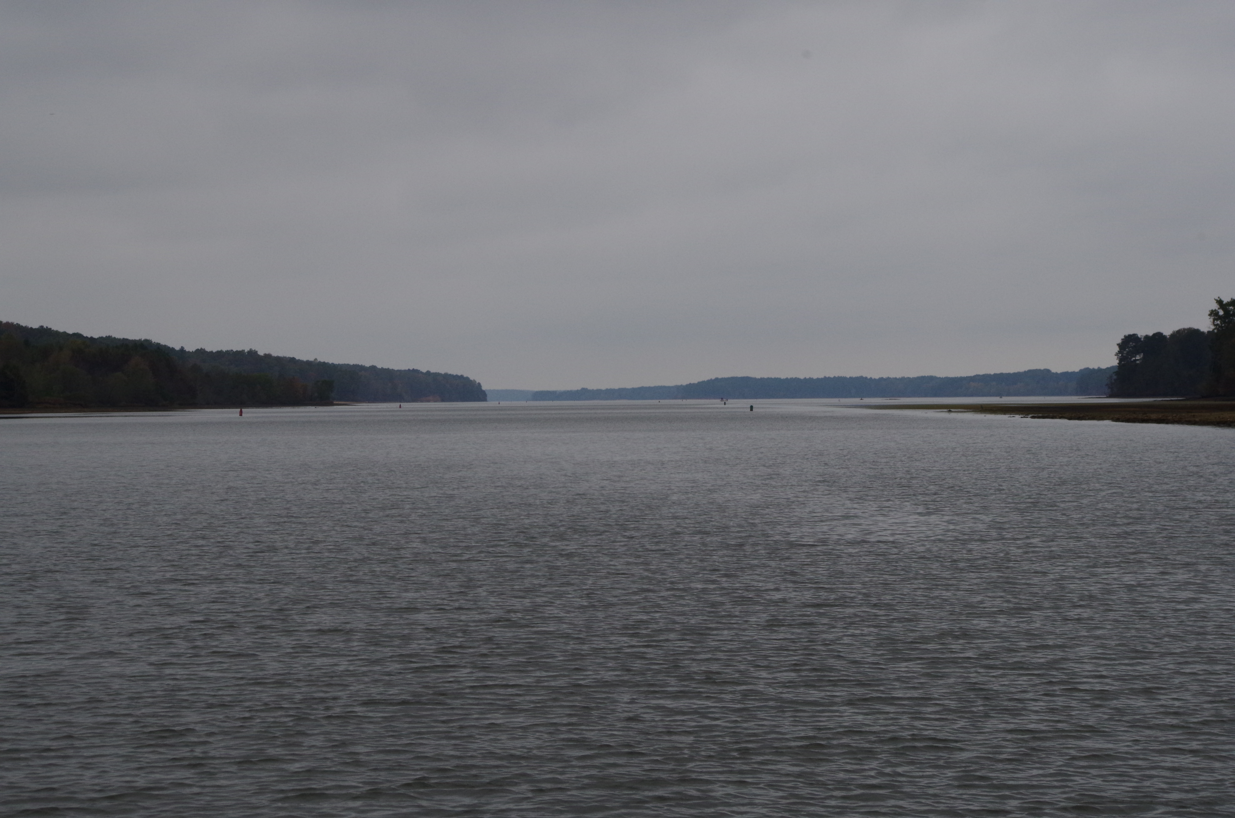
As we pulled up anchor and headed down (what was) the Yellow Creek, we found the view was quite scenic.
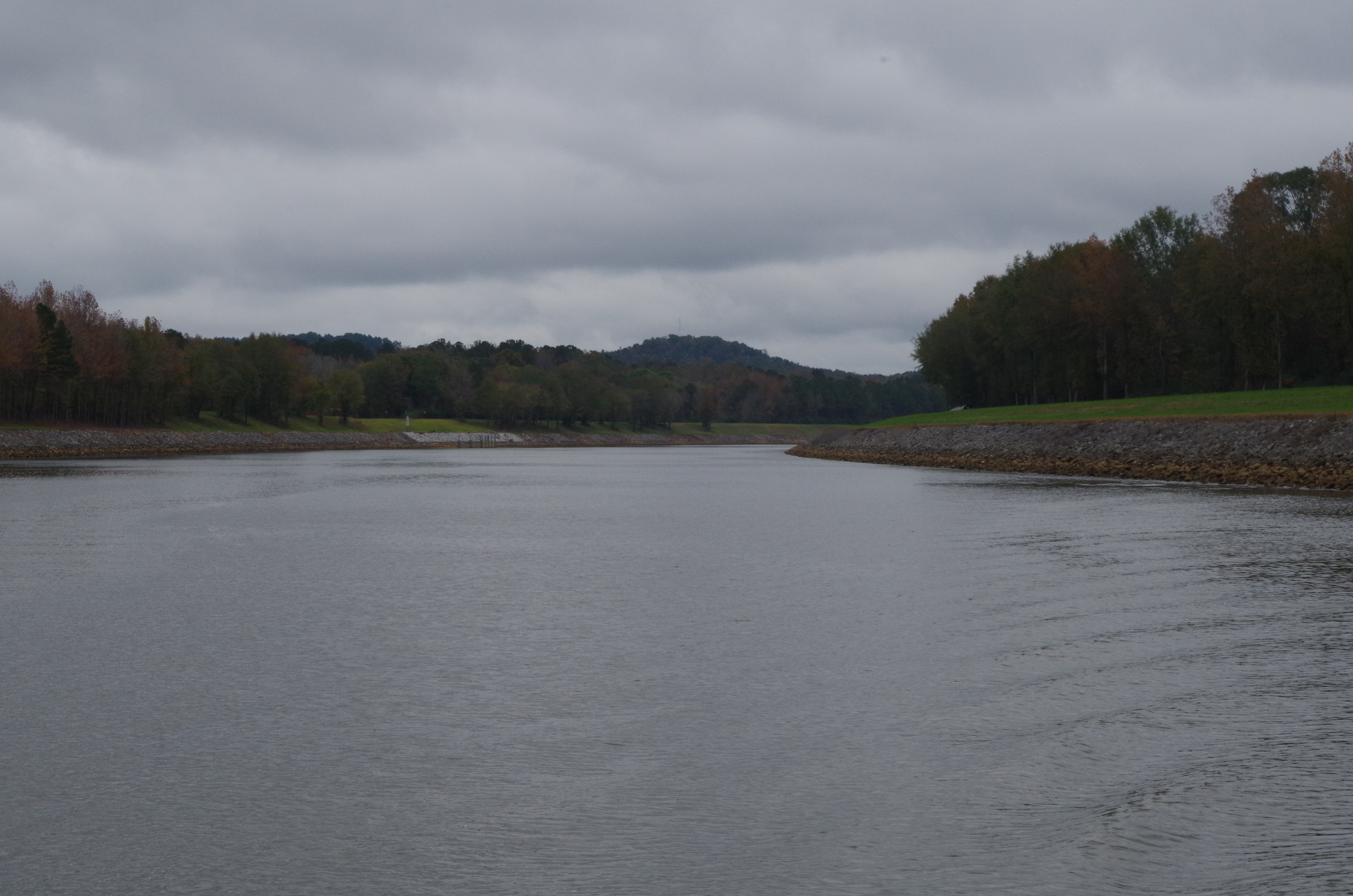
You start seeing how the river narrows toward the cut.
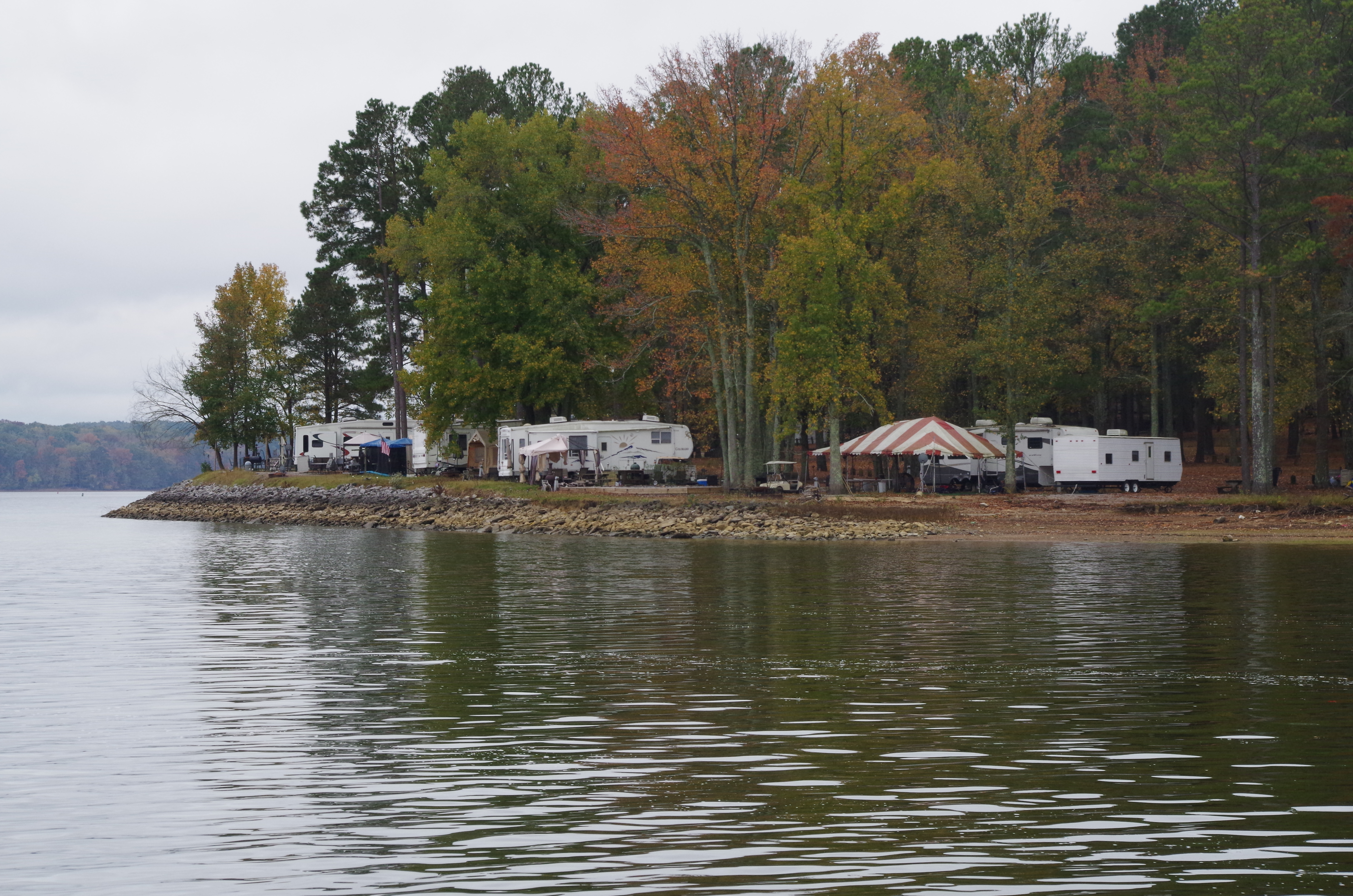
Along the banks of the river front we noticed some great camping sites
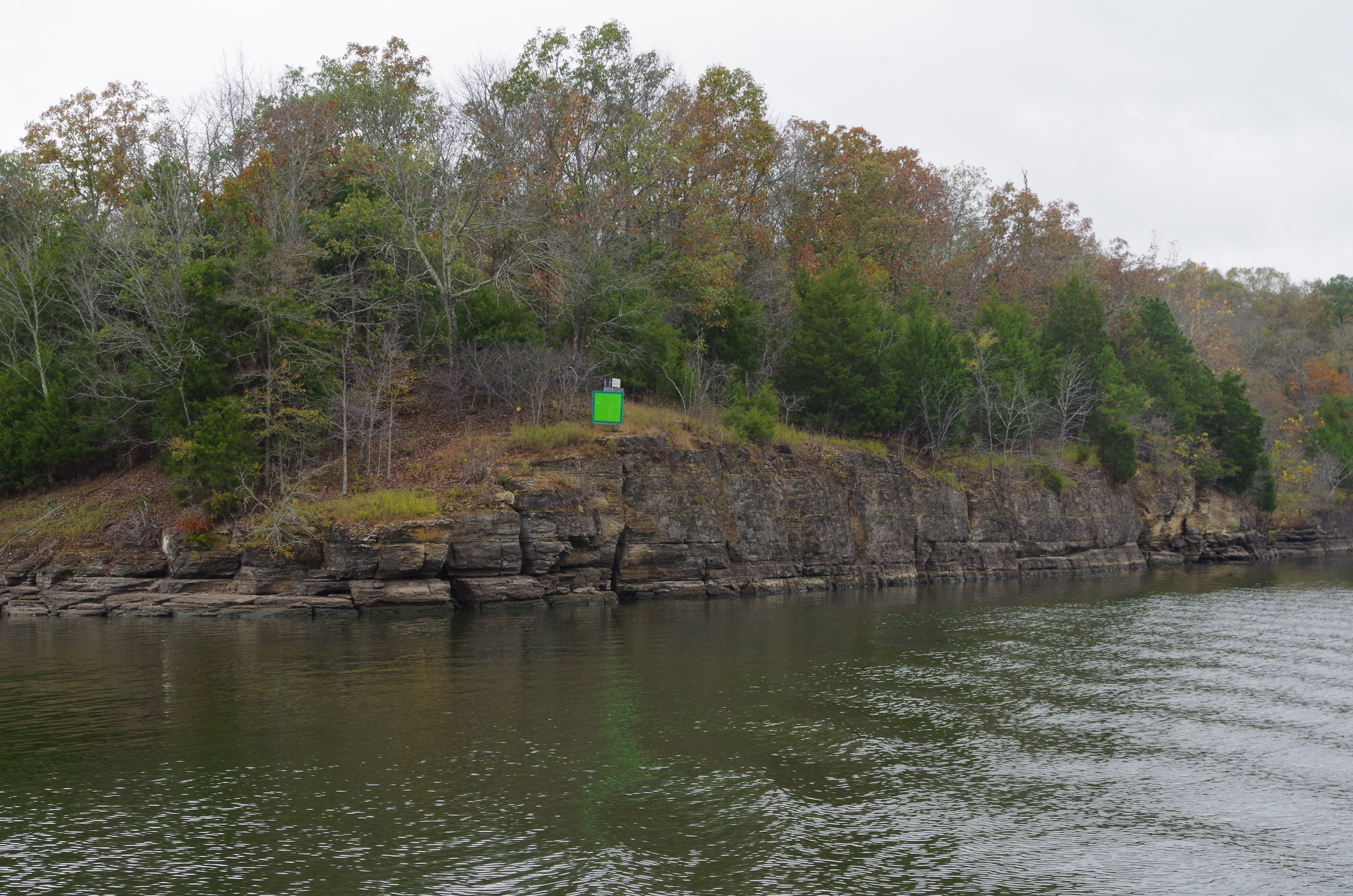
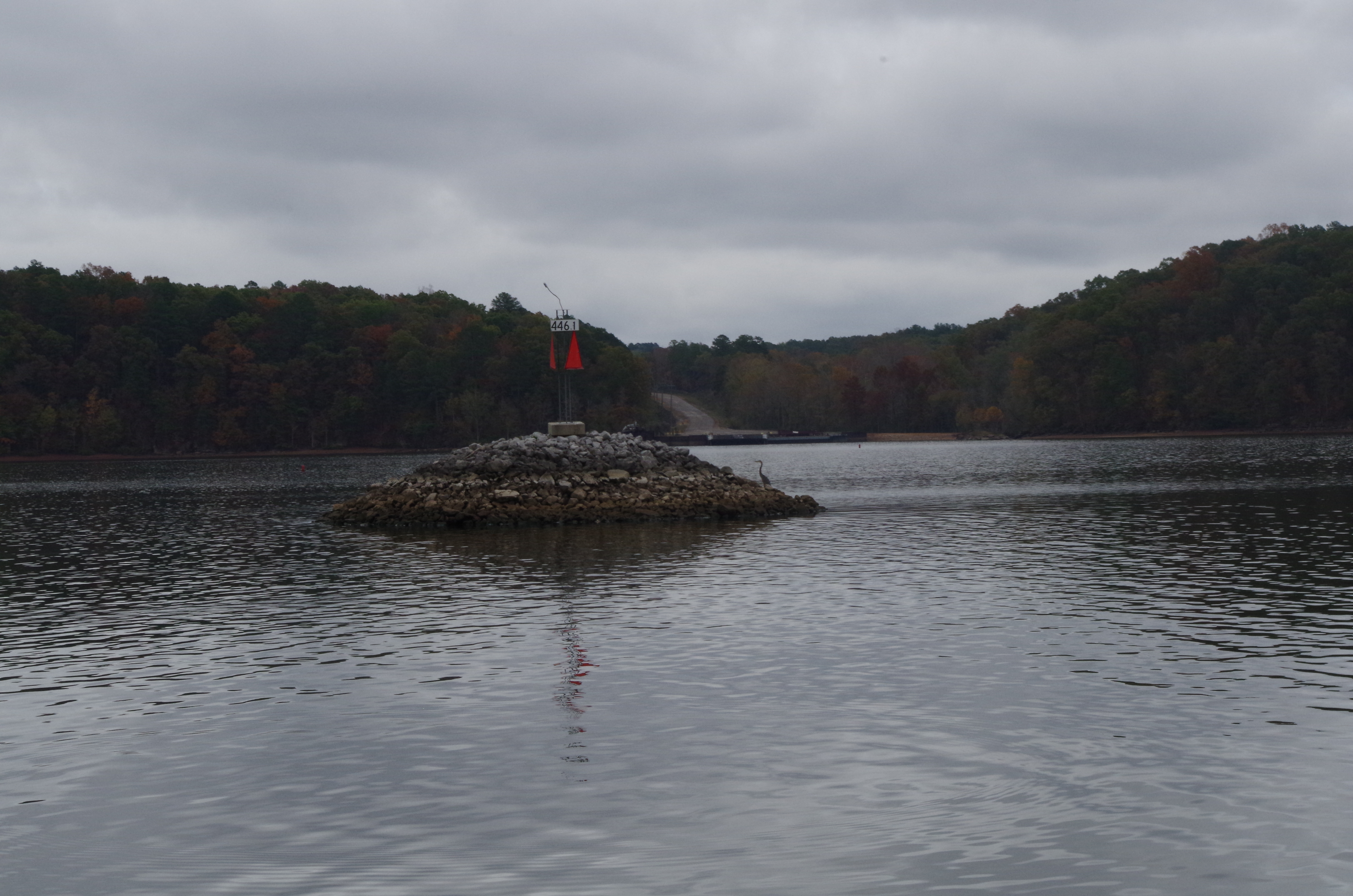
I thought these channel markers were interesting. Mile marker 446.1; just a different view of the lake.
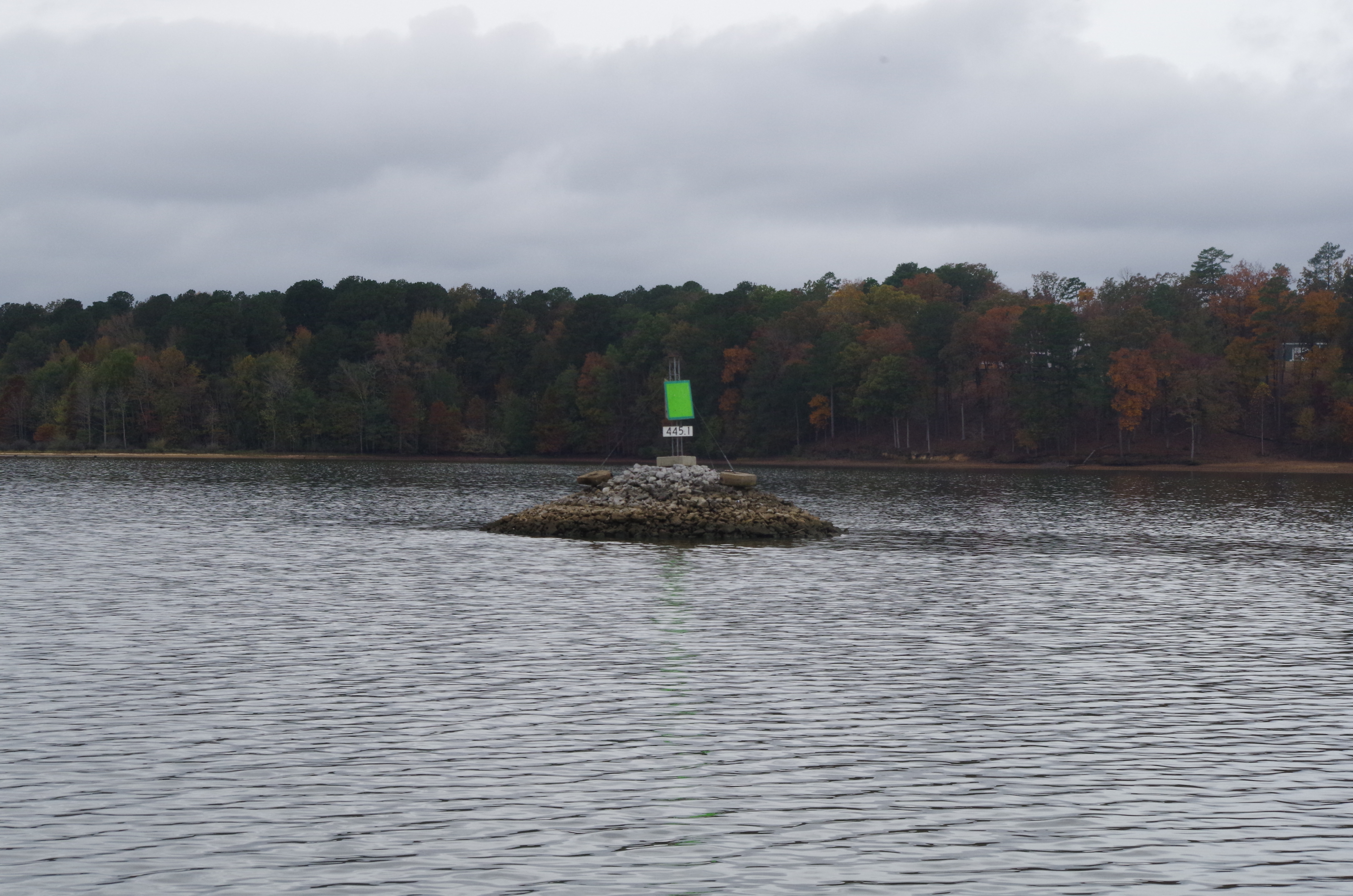
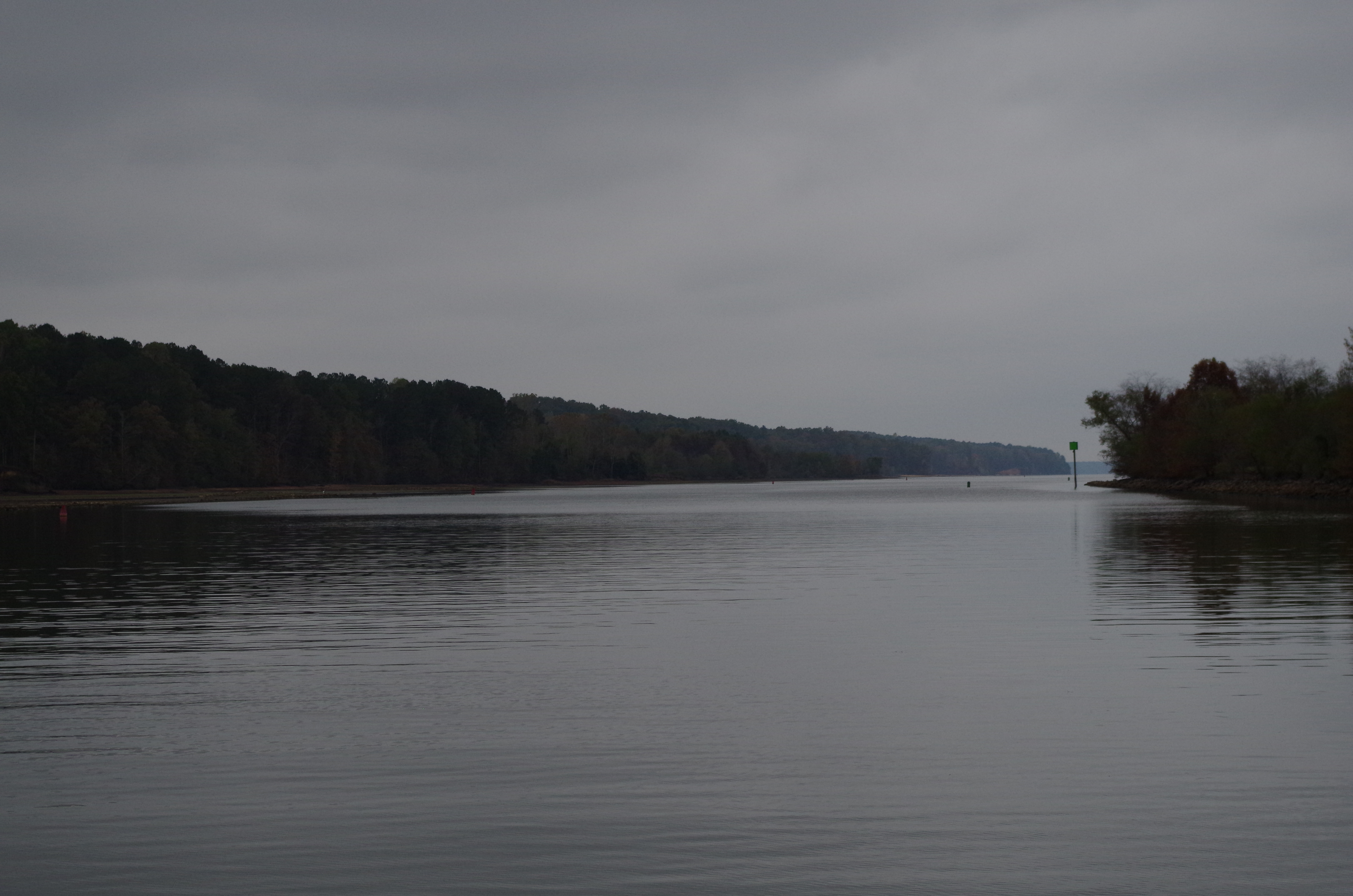
Another mile down is mile marker 445.1
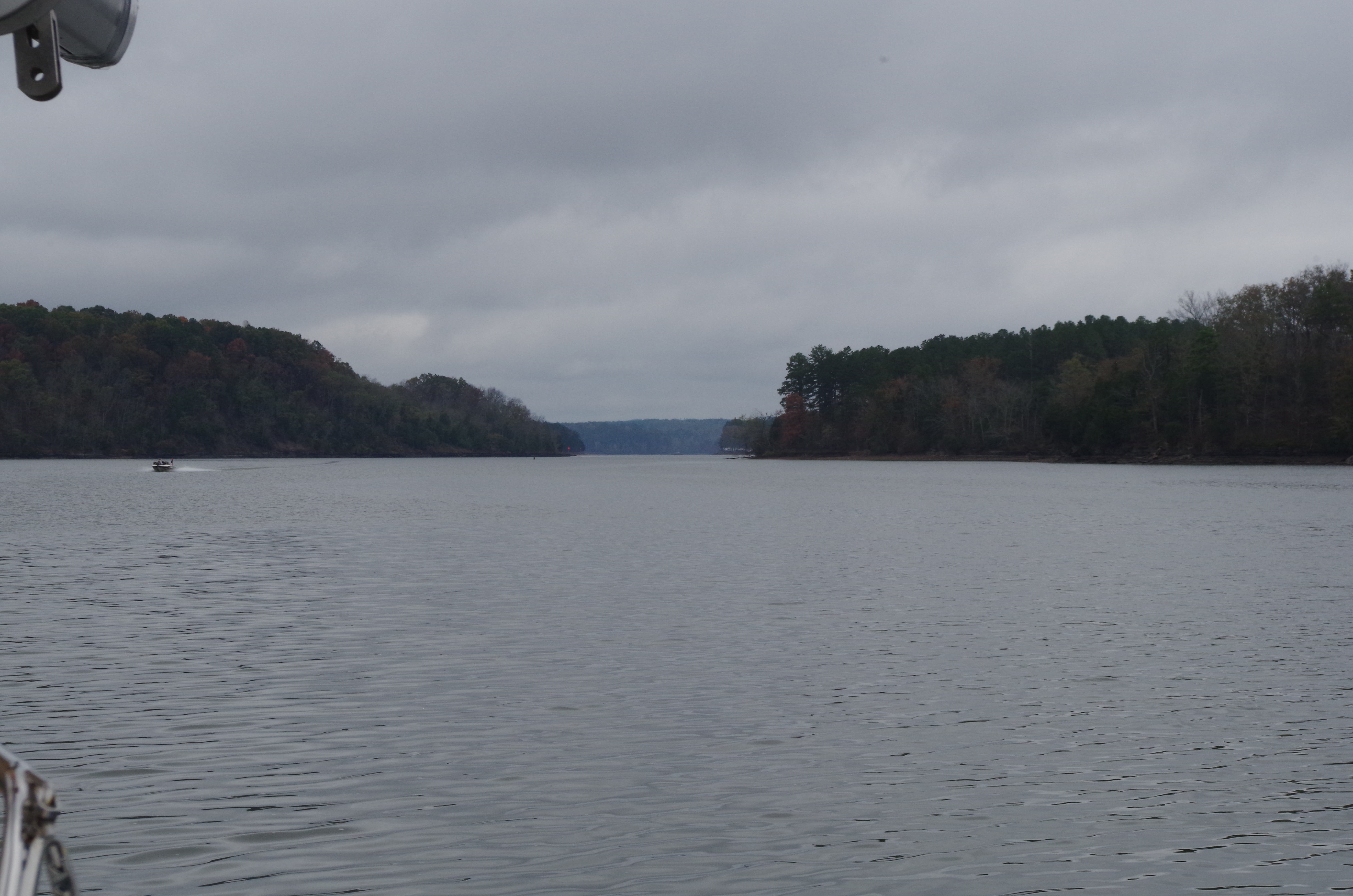
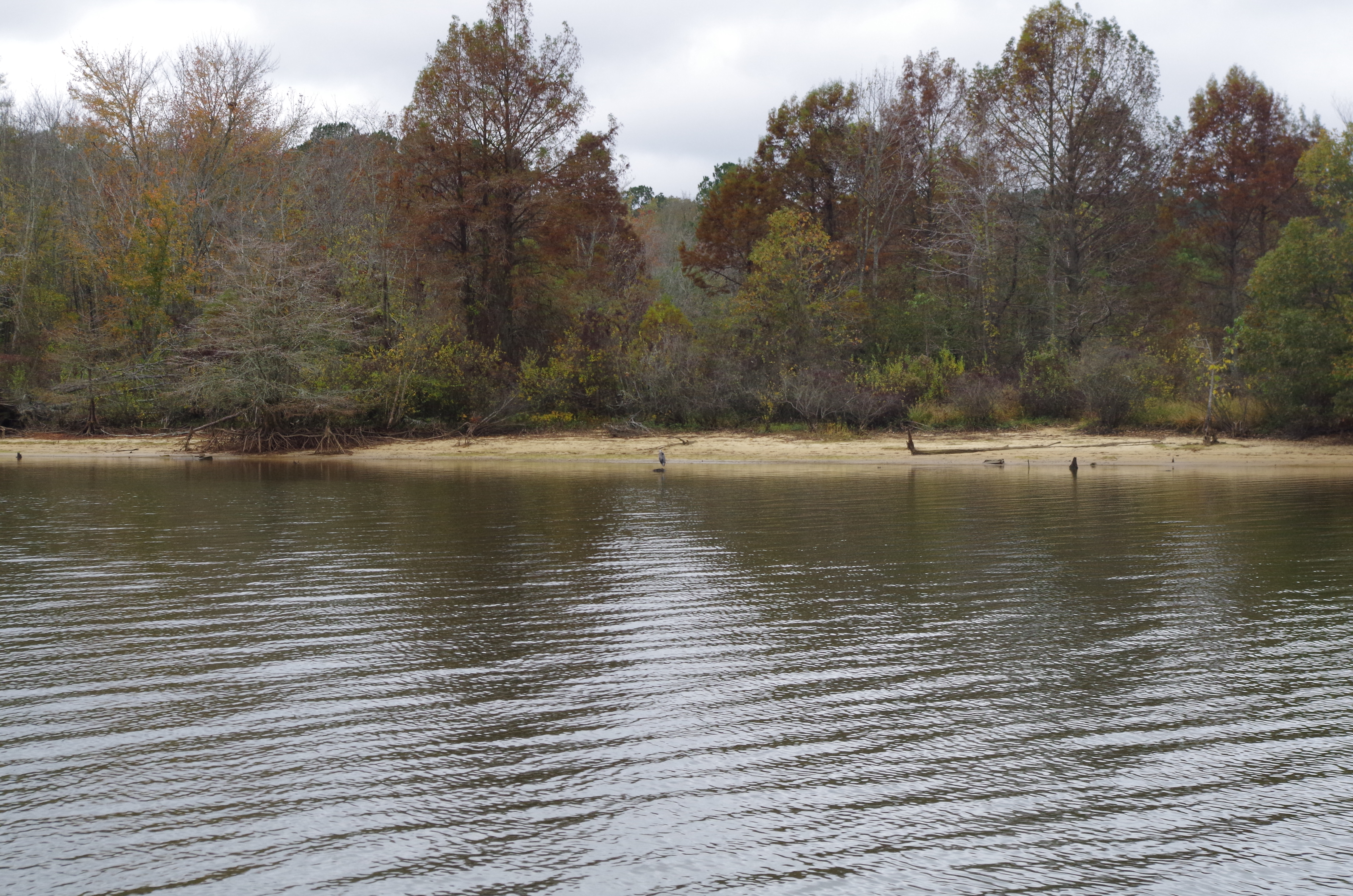
As we start to approach the Divide Cut we start seeing sand bars and stumps where the end of the lake was at one time prior to the divide cut.

Here is another pic showing the lake end.
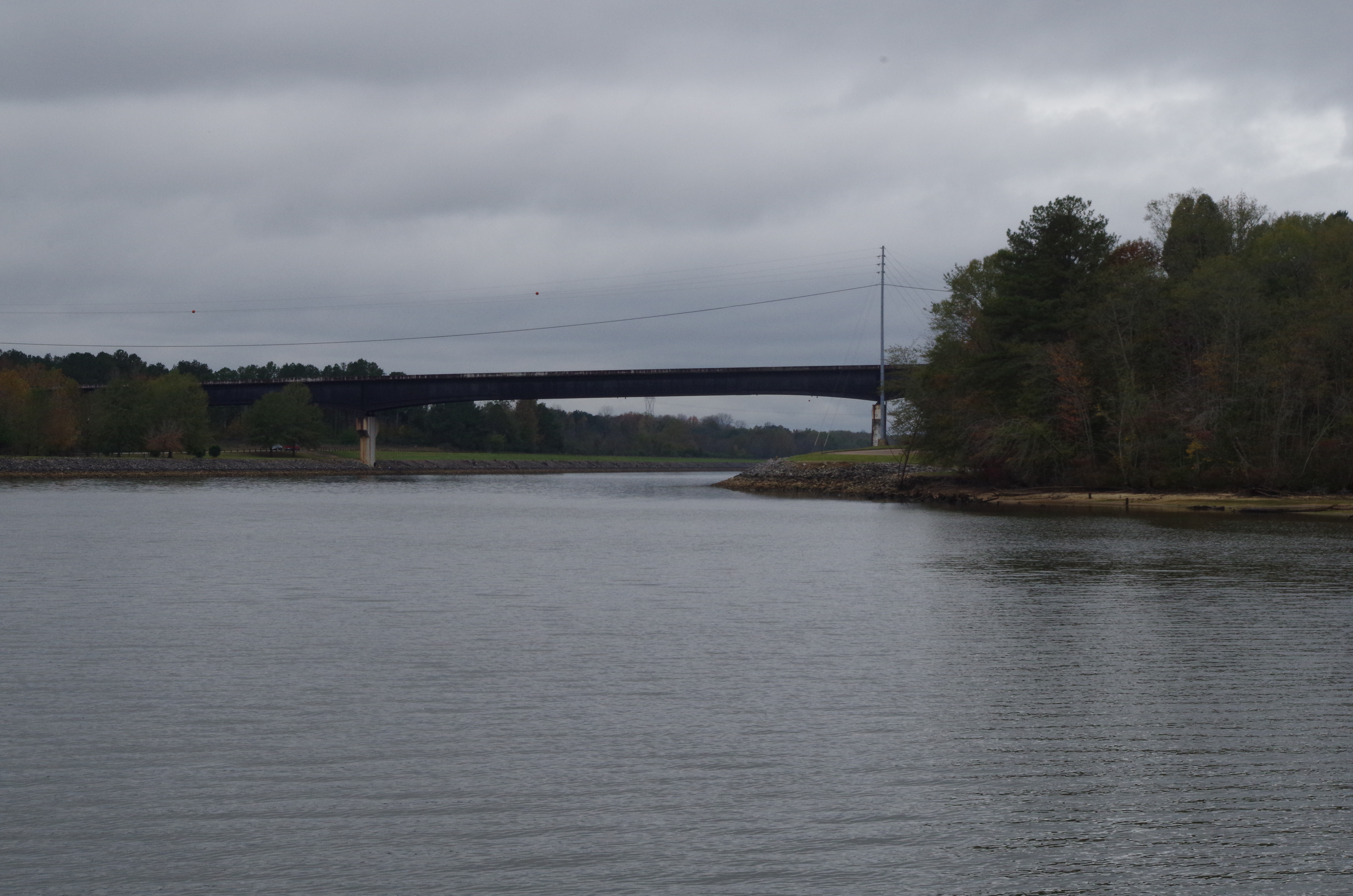
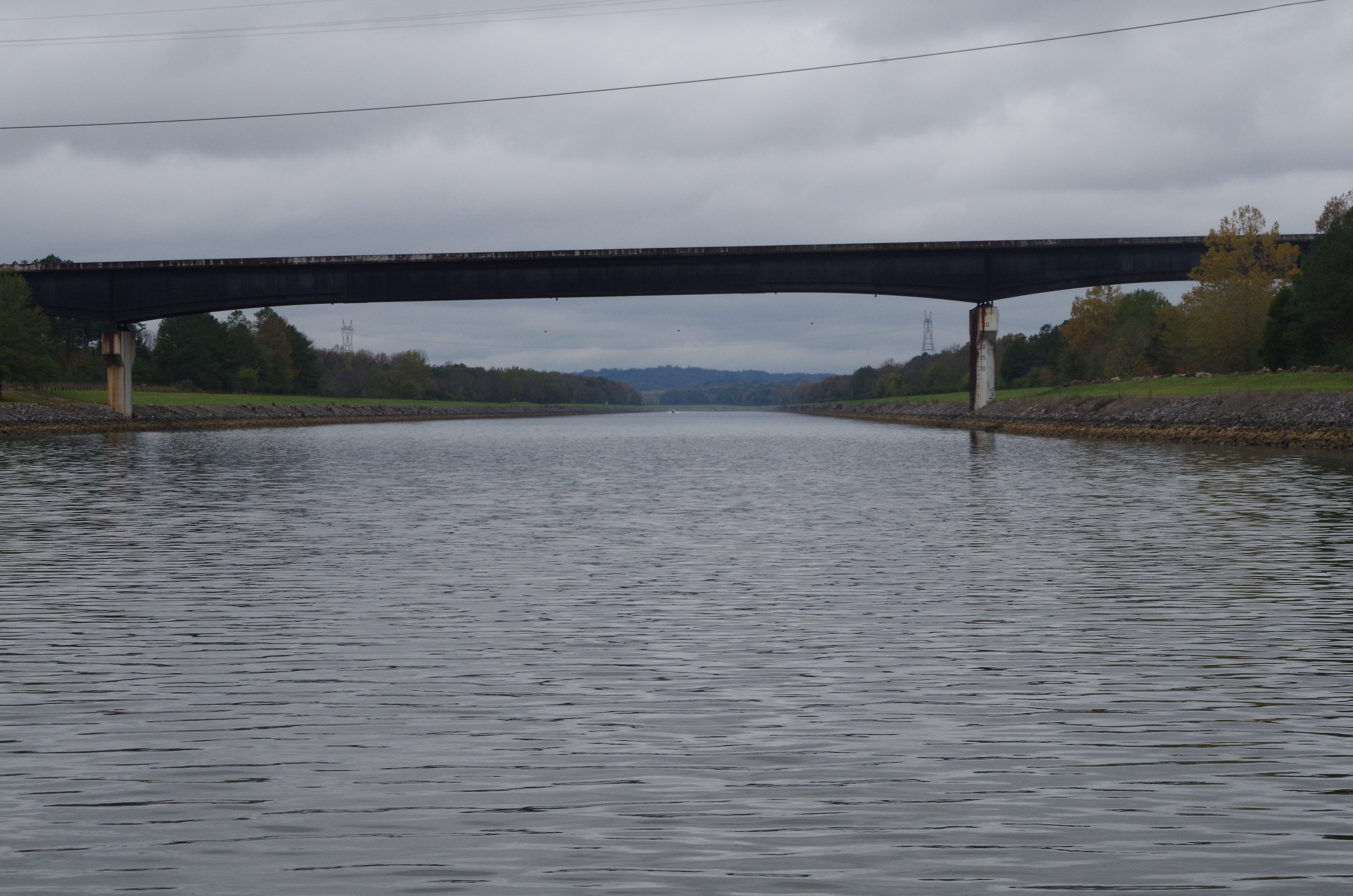
Highway 23 bridge at mile marker 443.7 appears to be the start of the divide cut.
As the junction straightens out, we can see the width of the cut.
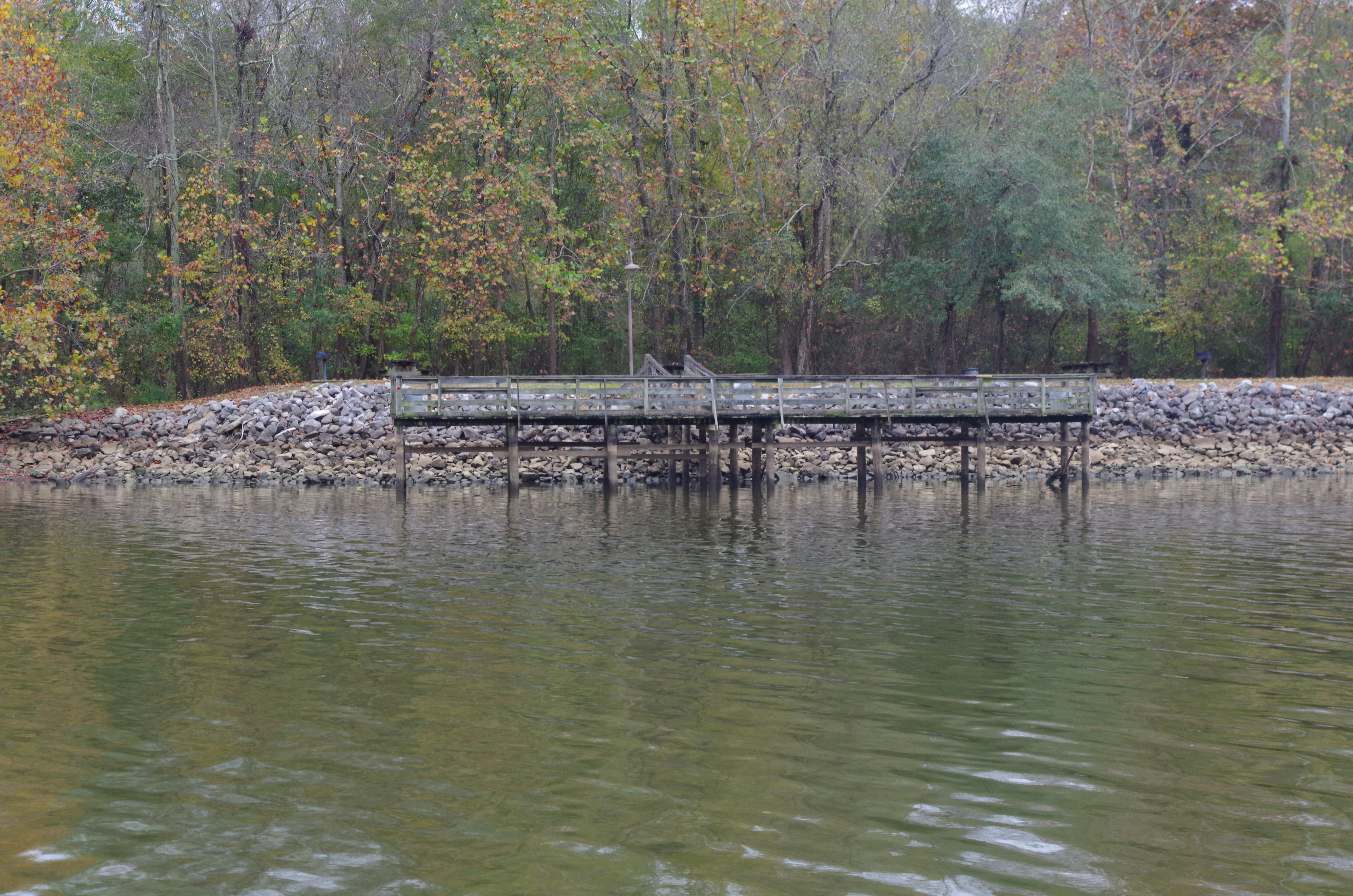
We see here the rocky banks and a fishing pier.
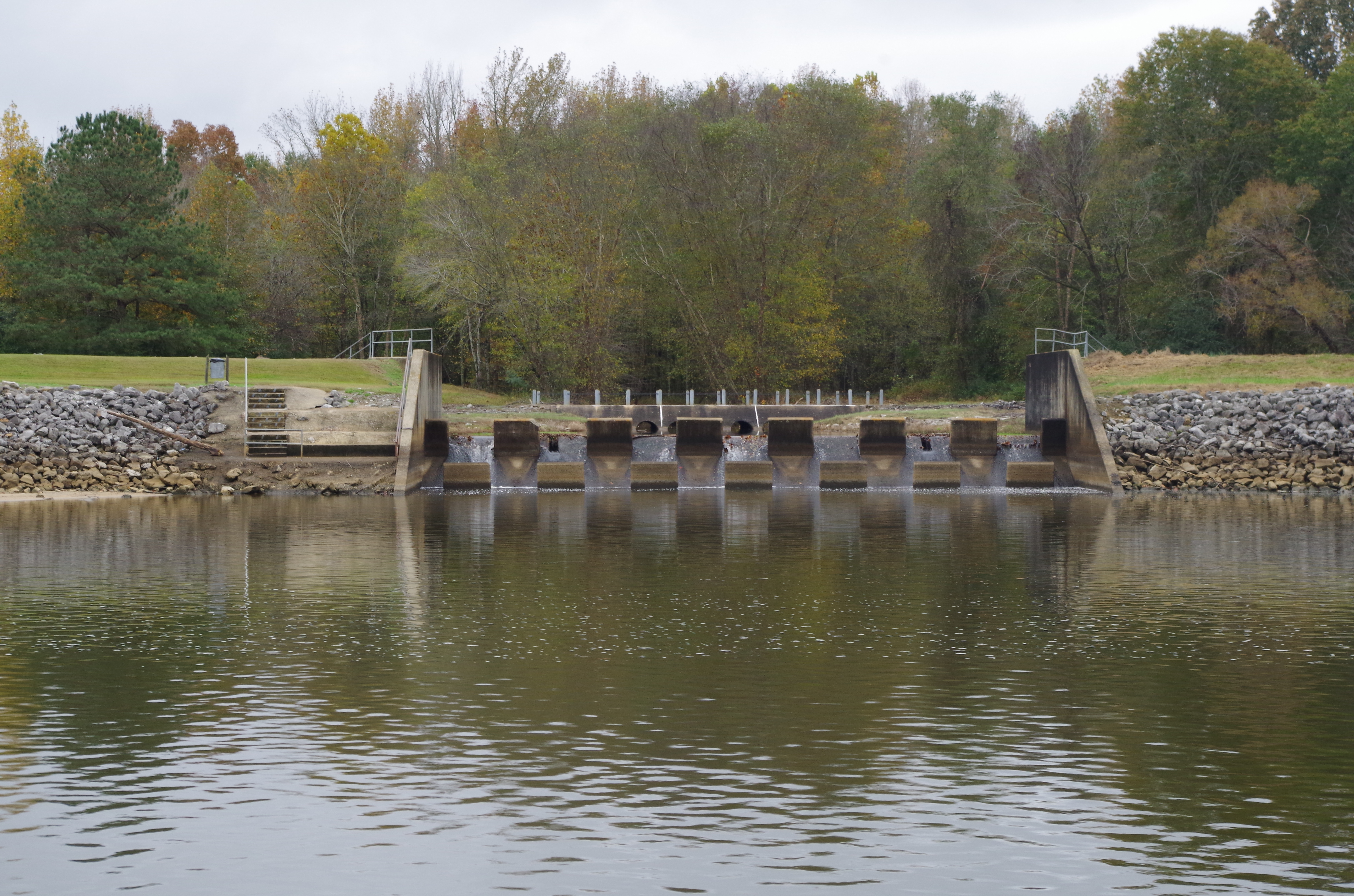
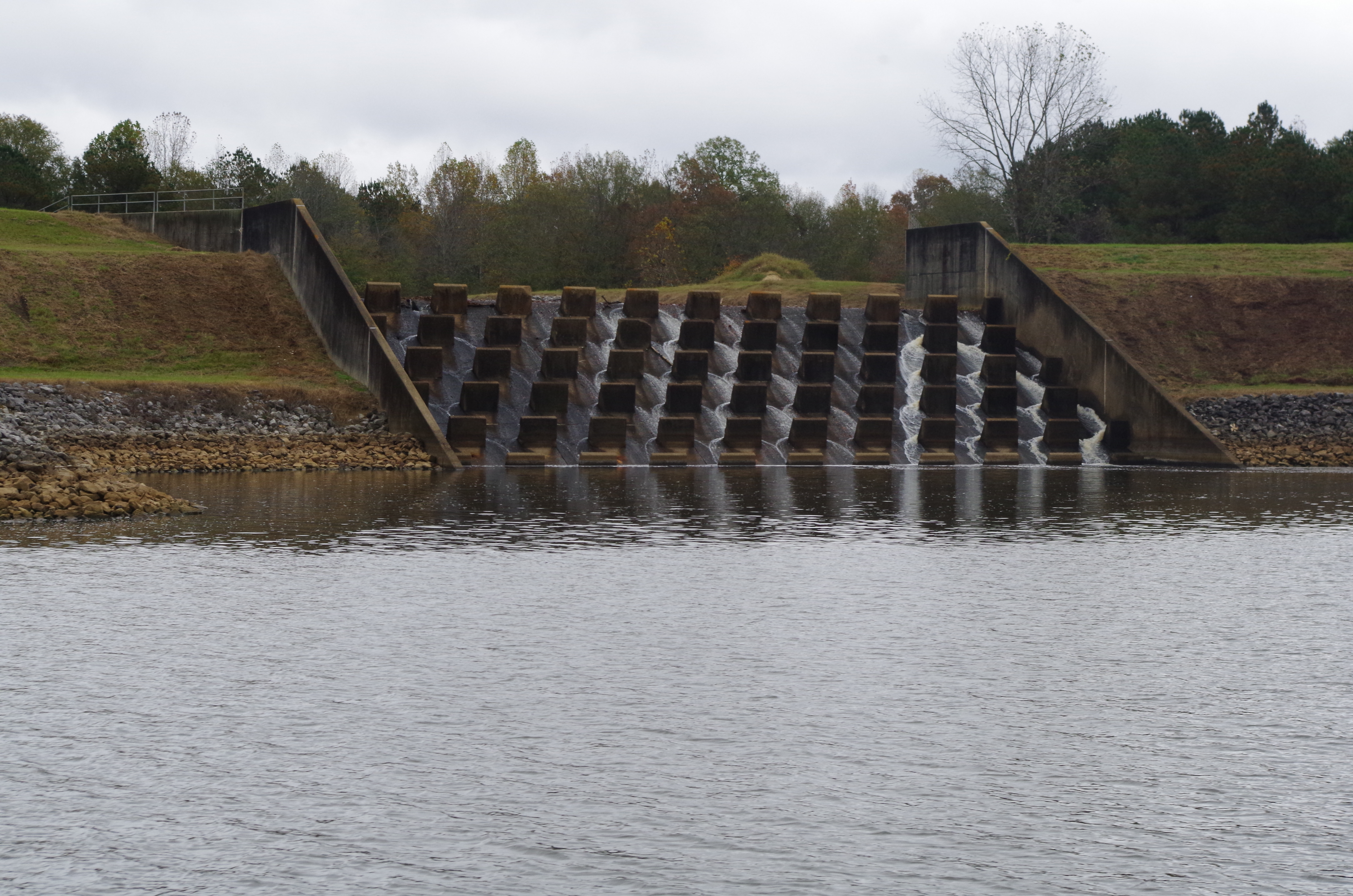
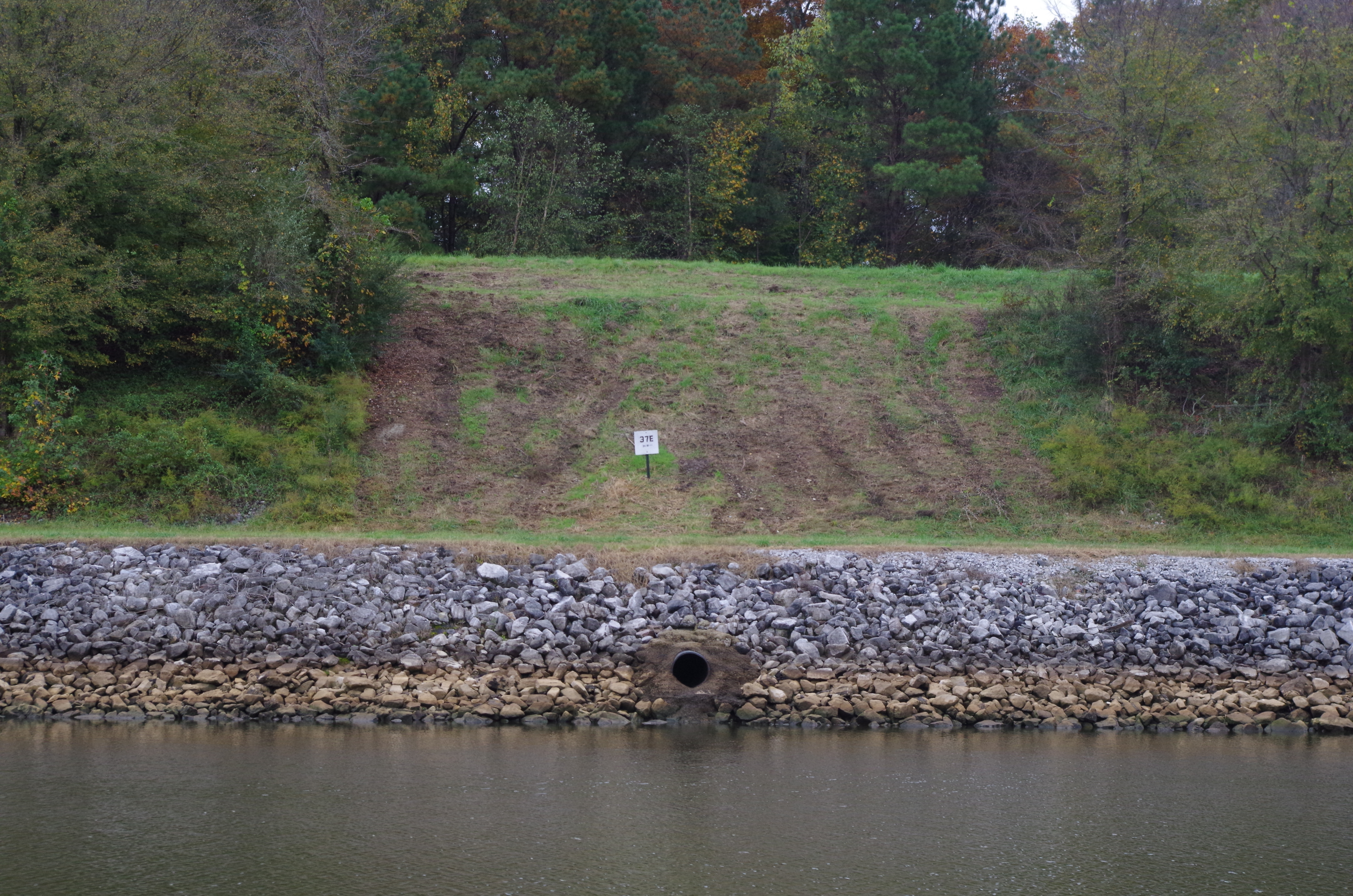
This is the first of several dams along the cut. These Dams apparently connect to small lakes or streams along the cut.
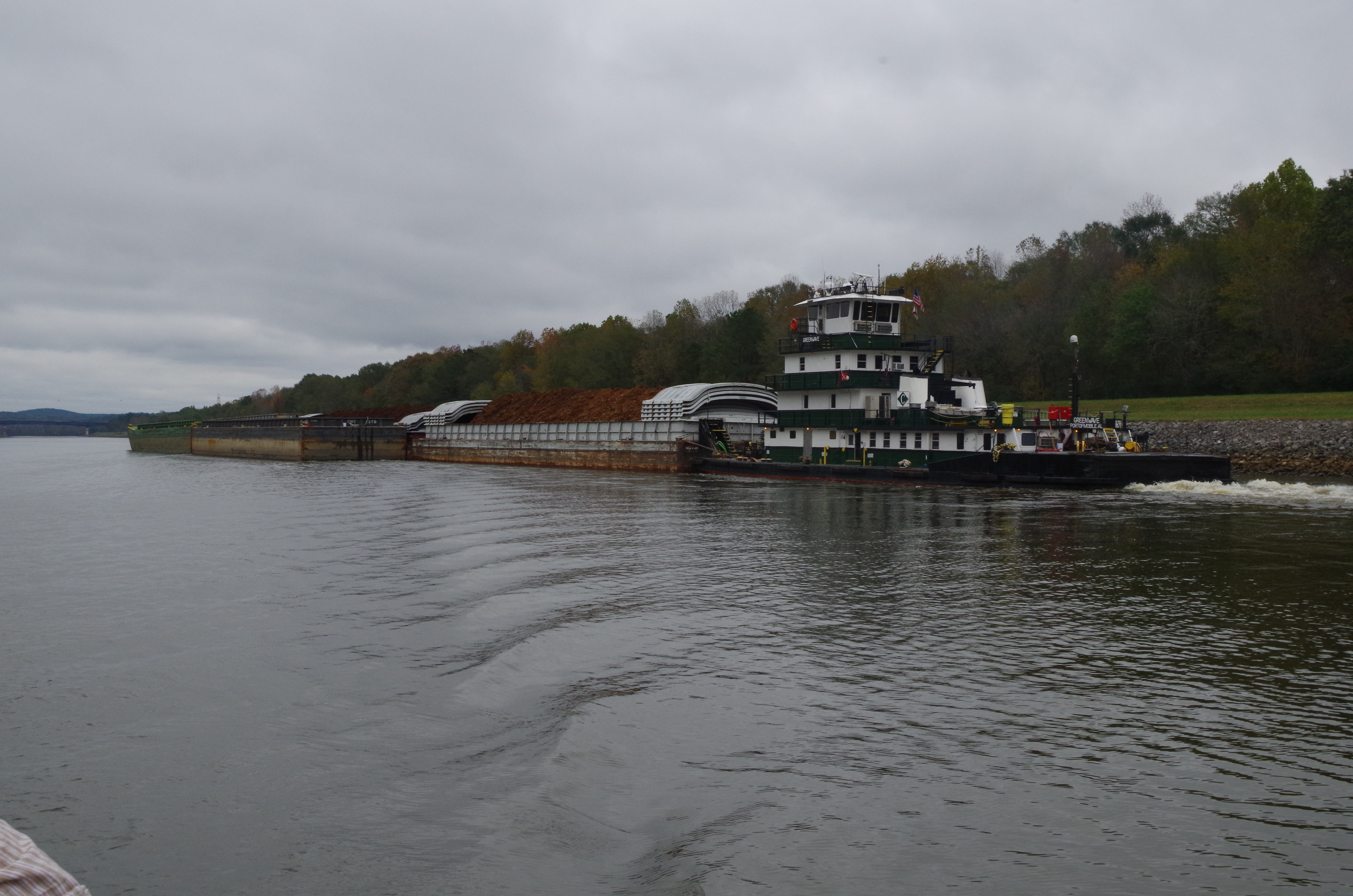
Green Wave was the only Tow & barge that passed us in the cut. It seems to take a good portion of the canal width as it passes us.
The canal continues to twist. It is not the straightest canal, but the turns are wide sweeps and easy to negotiate. It looks as though they have manicured the grass along the river bank. Kinda like the I75 expressway for boats! We were zipping along at a break neck 6 MPH.
One of the things we noticed were all the different ways they have to drain the rainwater in to the canal. Although they may do similar things, the drains or dams are different either in size or shape.
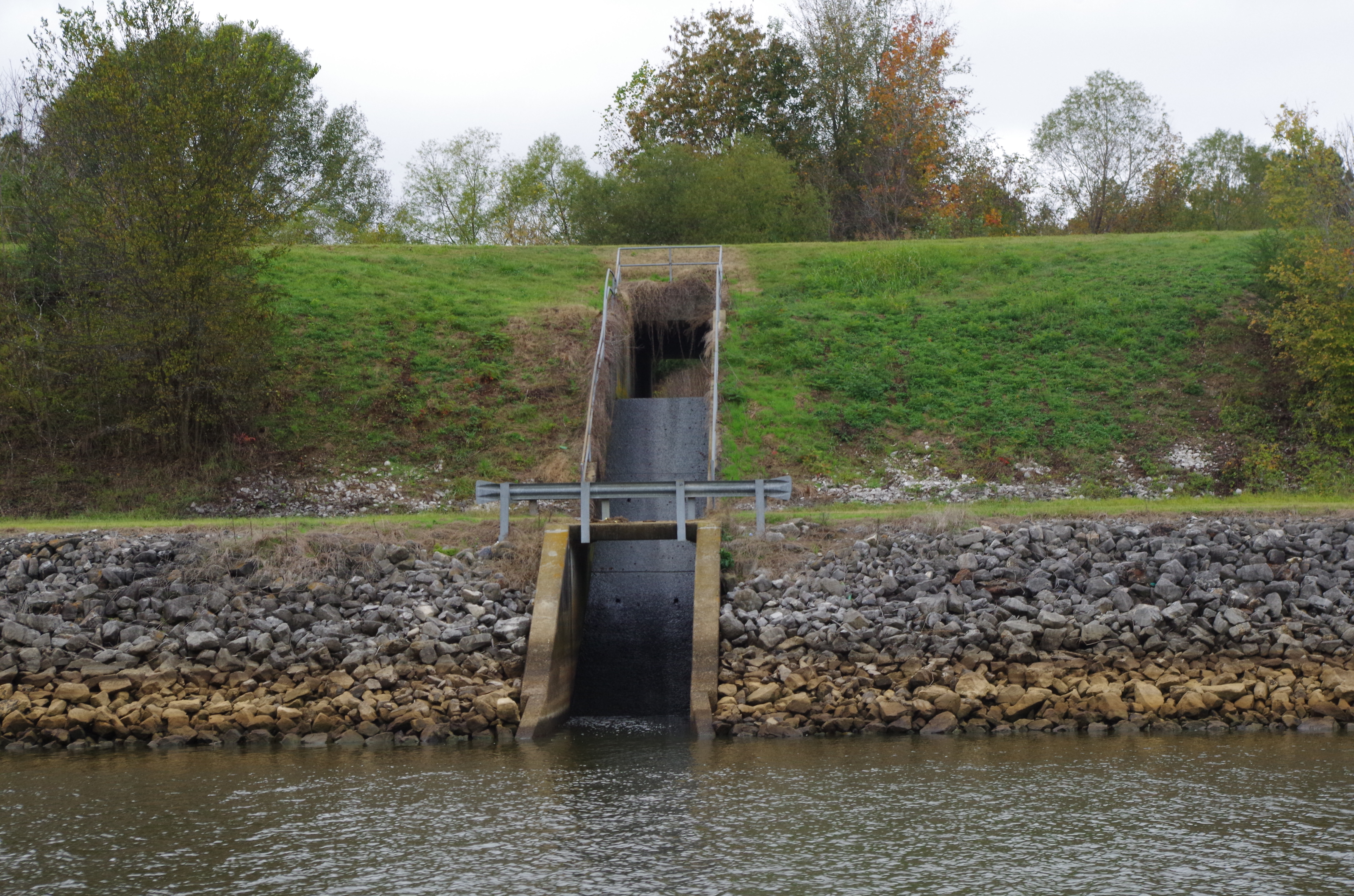
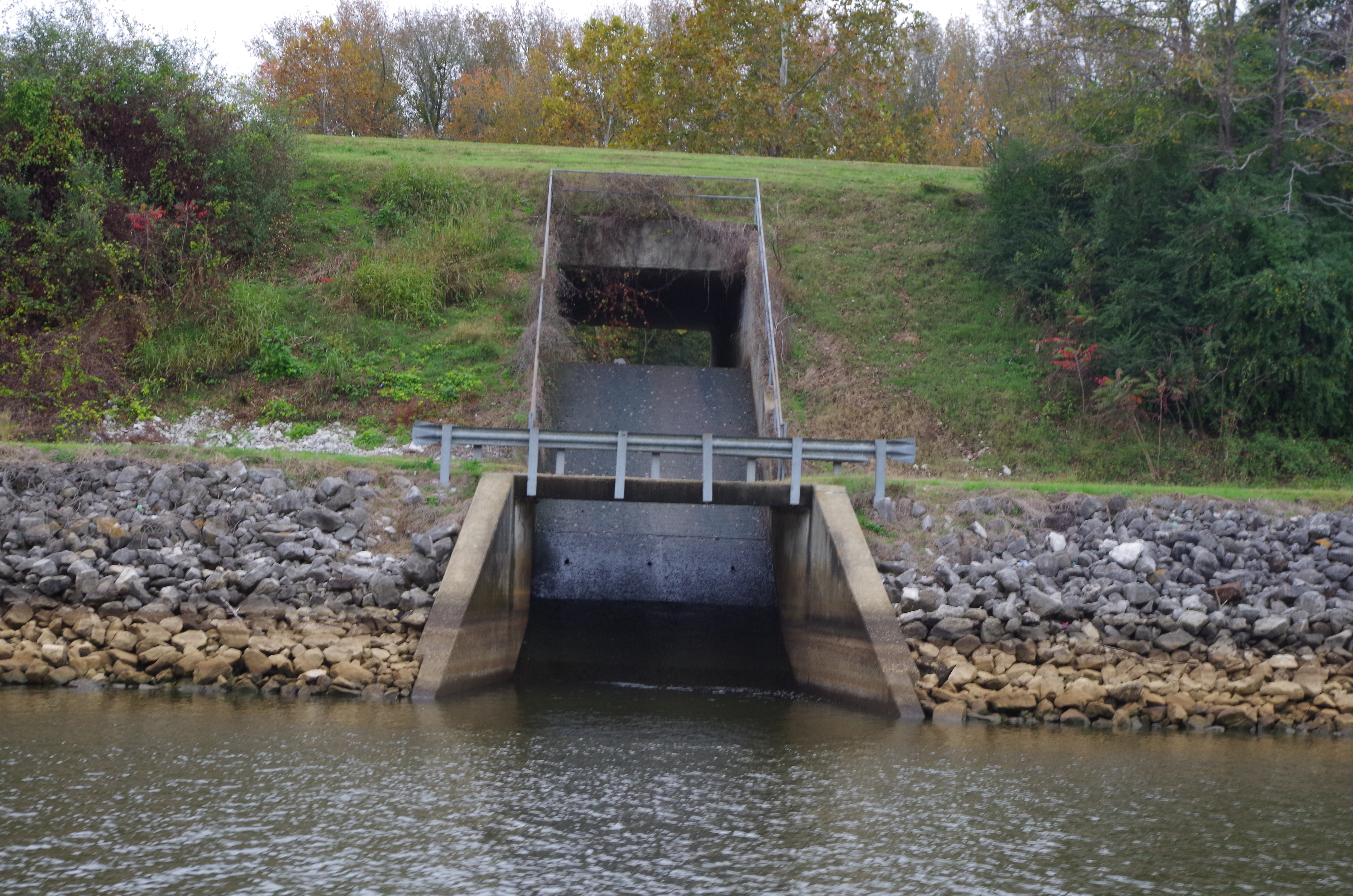
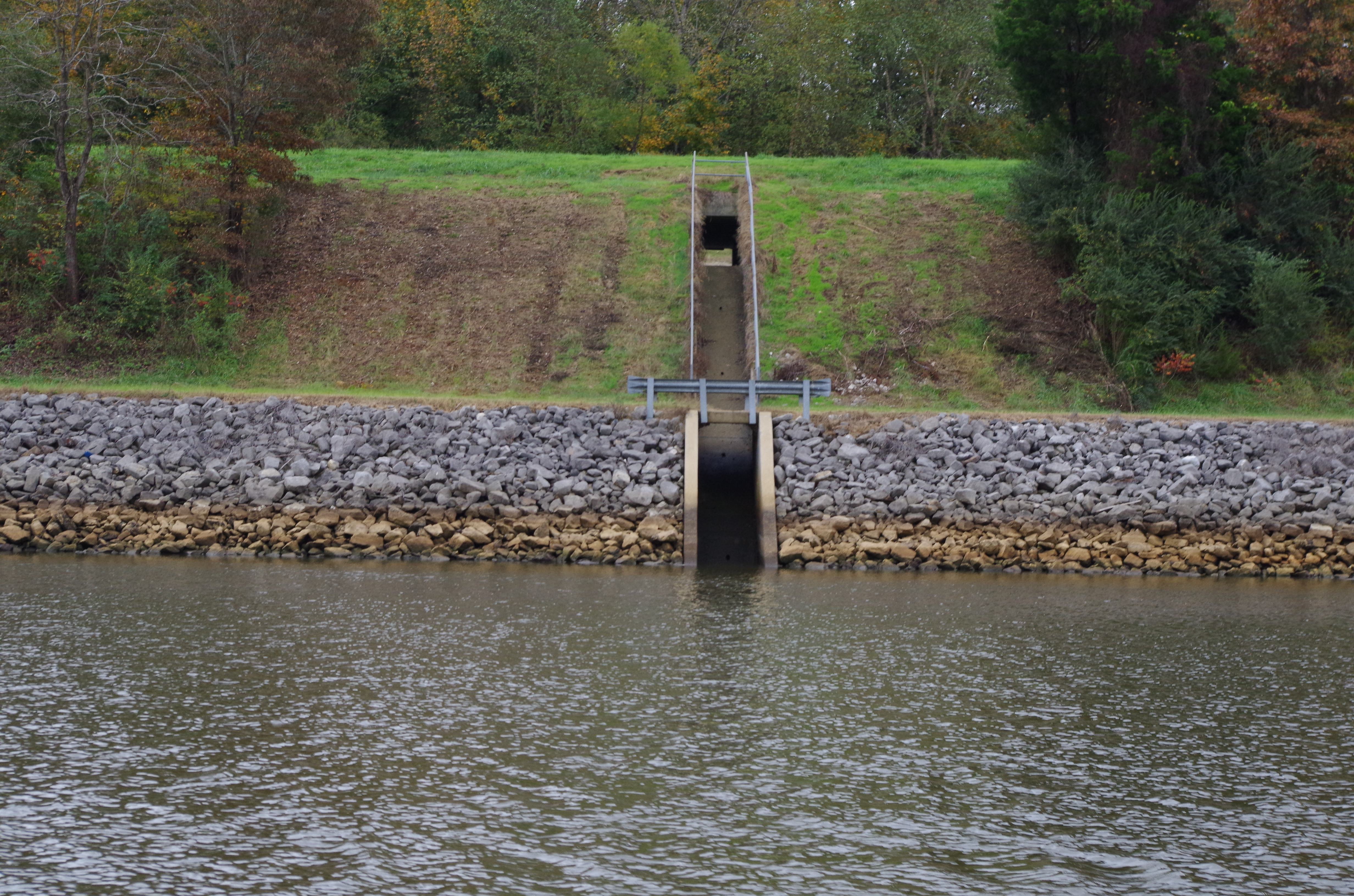
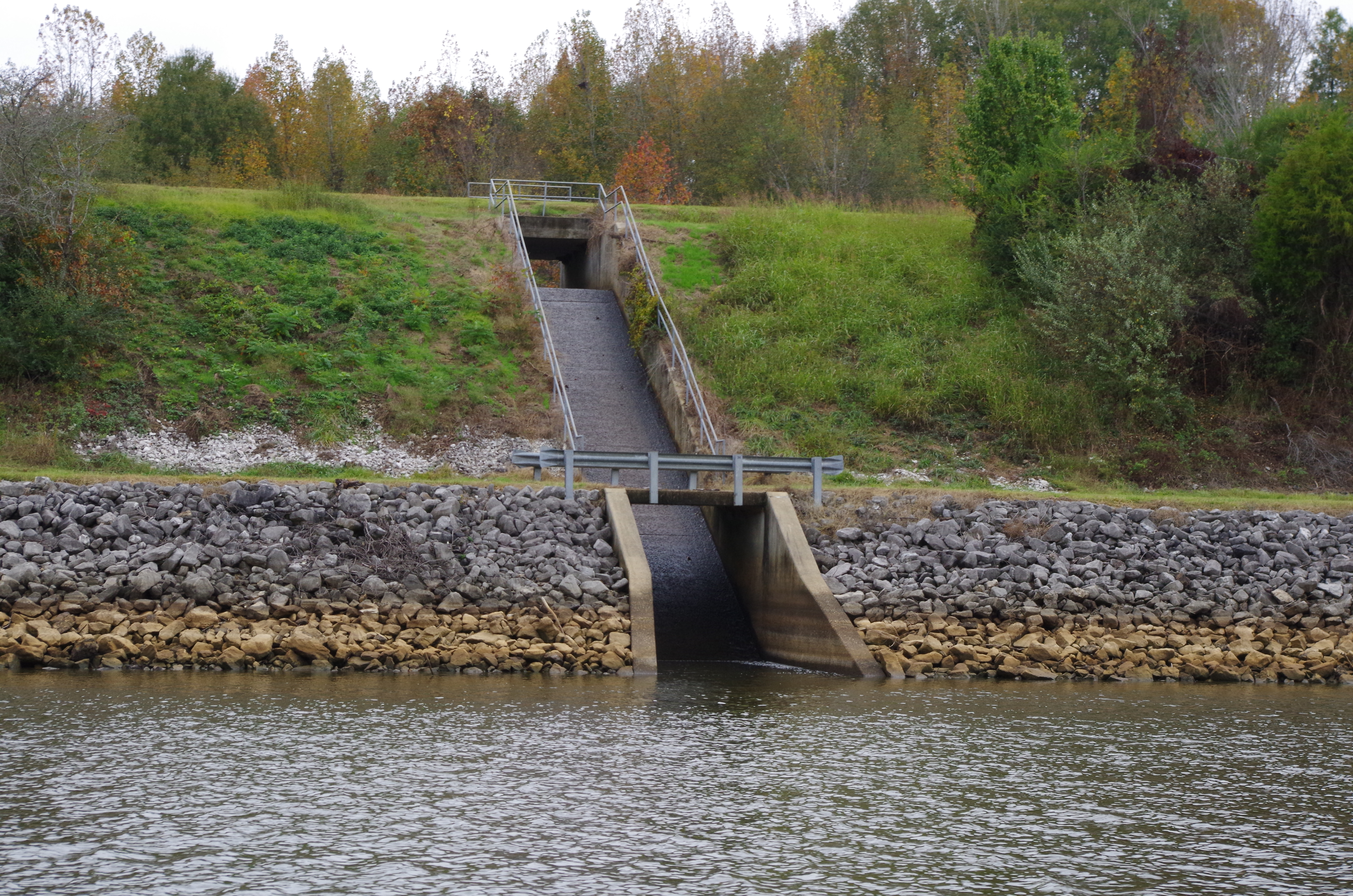
We wonder if any of the local kids ever tubed down some of the wider ones after a good rain.
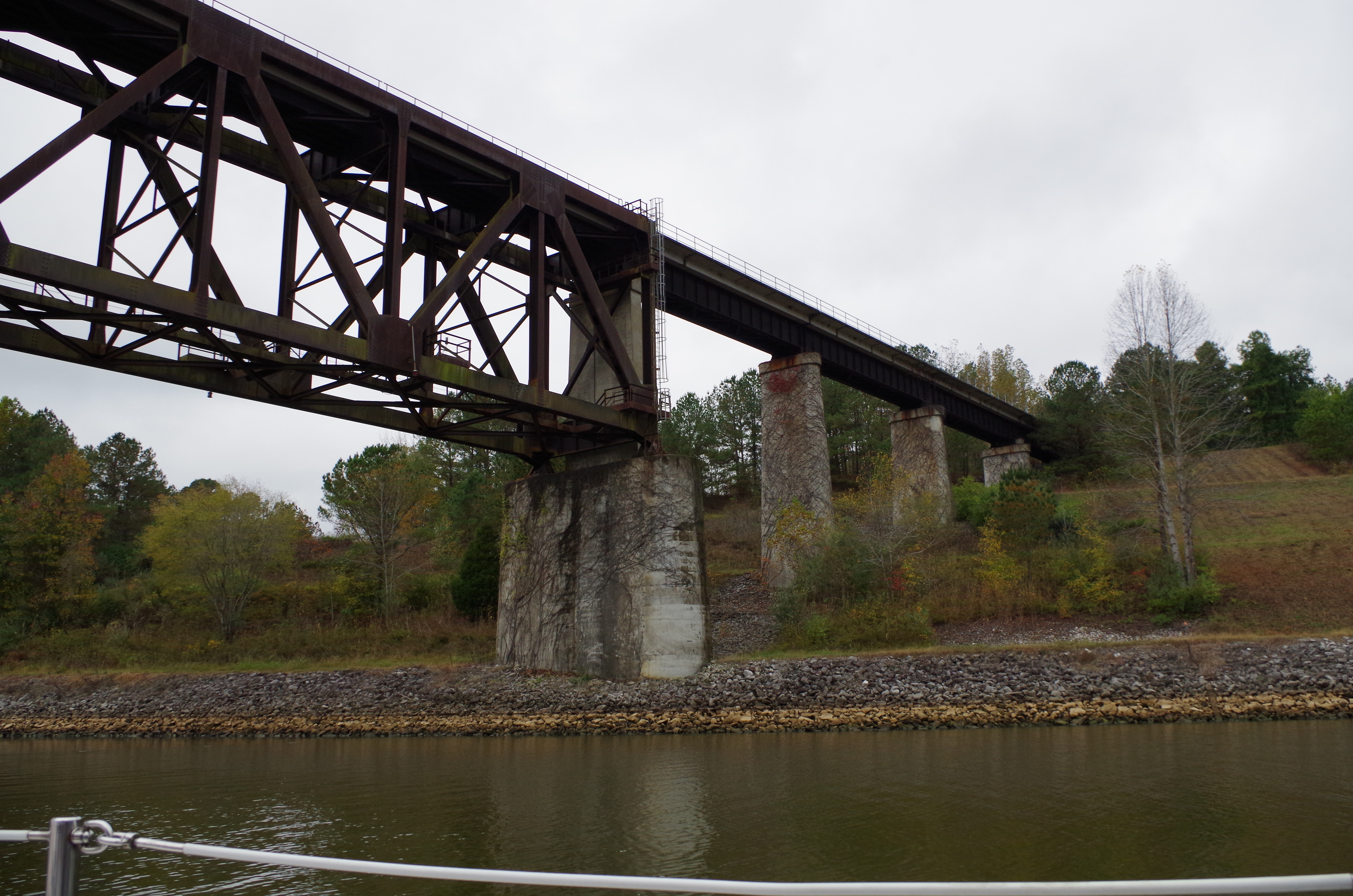
We passed under several train and car bridges while on our way. This was an interesting one. Not sure how the vine gets all over everything in some areas in the south.

We are nearing the end of the Divide Cut and entering Spring Lake.
The cut widens back up to a good size lake pretty quick. Just a few miles up the lake is the Jamie L. Whitten Lock and dam. One of the first of 12 left to do.