After taking anchorage in Bay Spring Lake, we rested up and tried to stay dry. The rain continued over night. After waking up the next morning, we decided to spend an extra day in the lake. We pulled up anchored around noon when Bryce was done working for the day. I do believe we only had 5 miles to go before the next anchorage. We spent the rest of the day wandering the visitor center of the James Witten Lock.
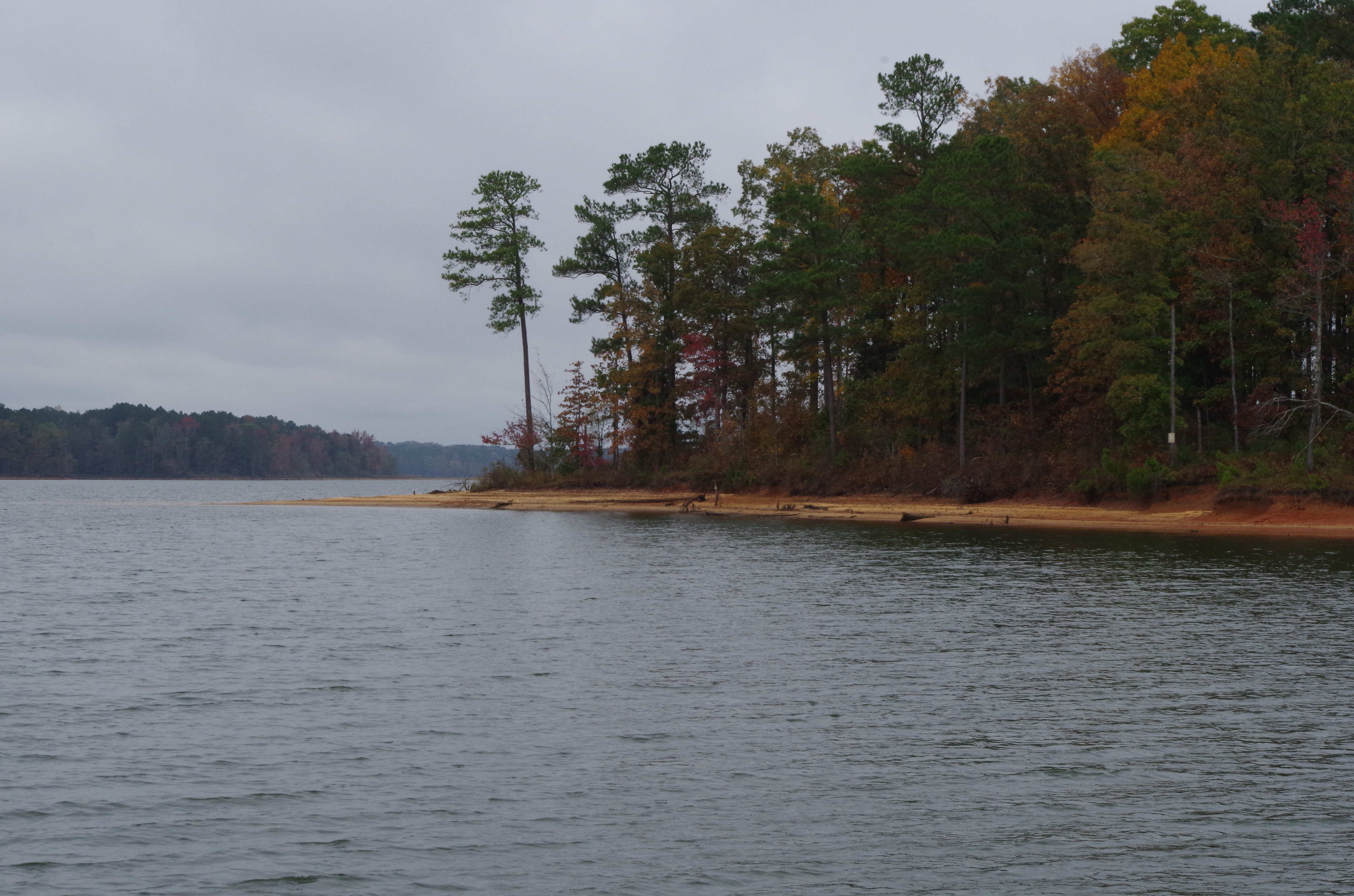
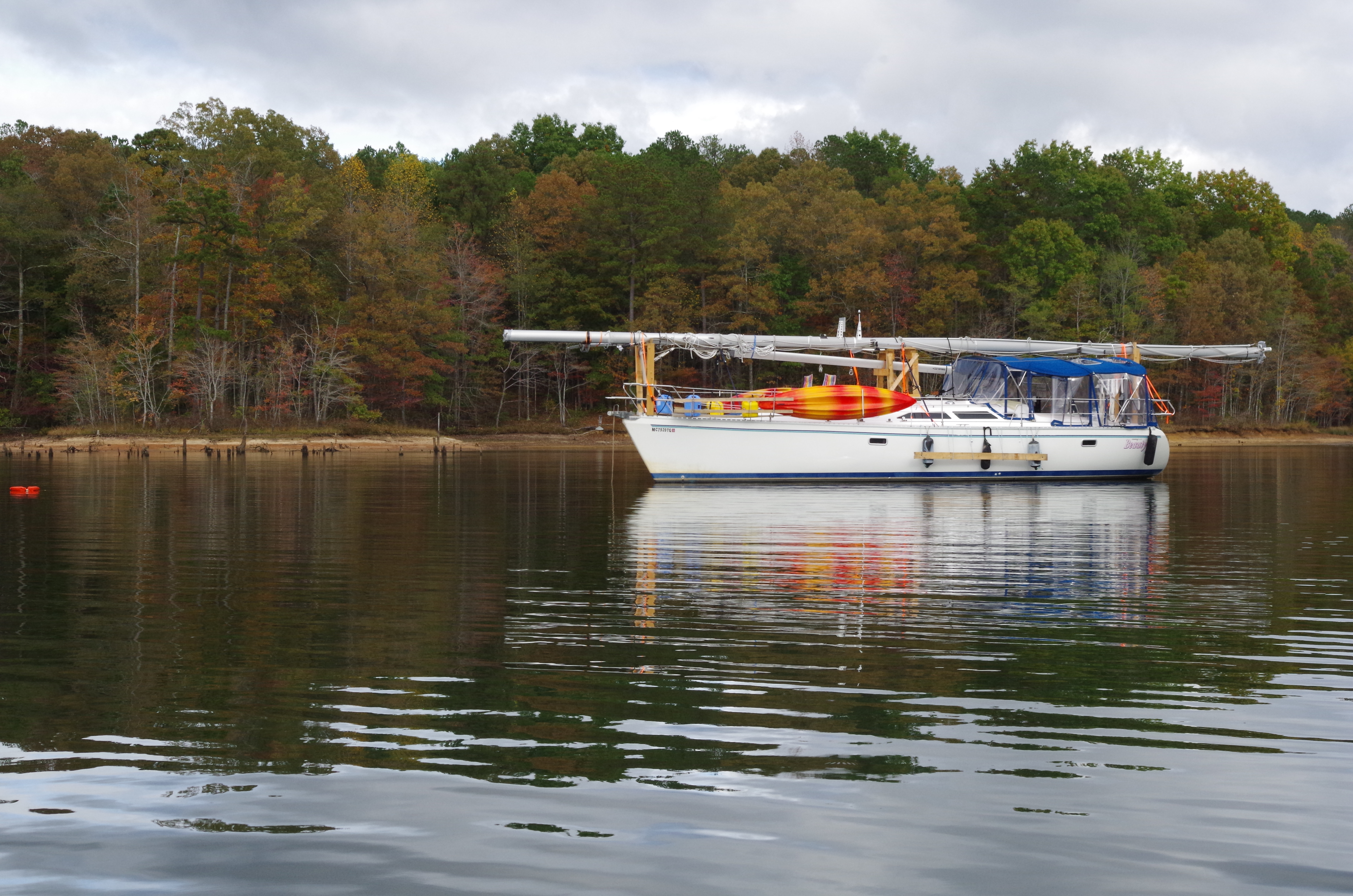
This is where we anchored when we arrived in Spring Lake. What a great view. But weather was not nice enough to explore the beach. This point shielded us from the light north wind.
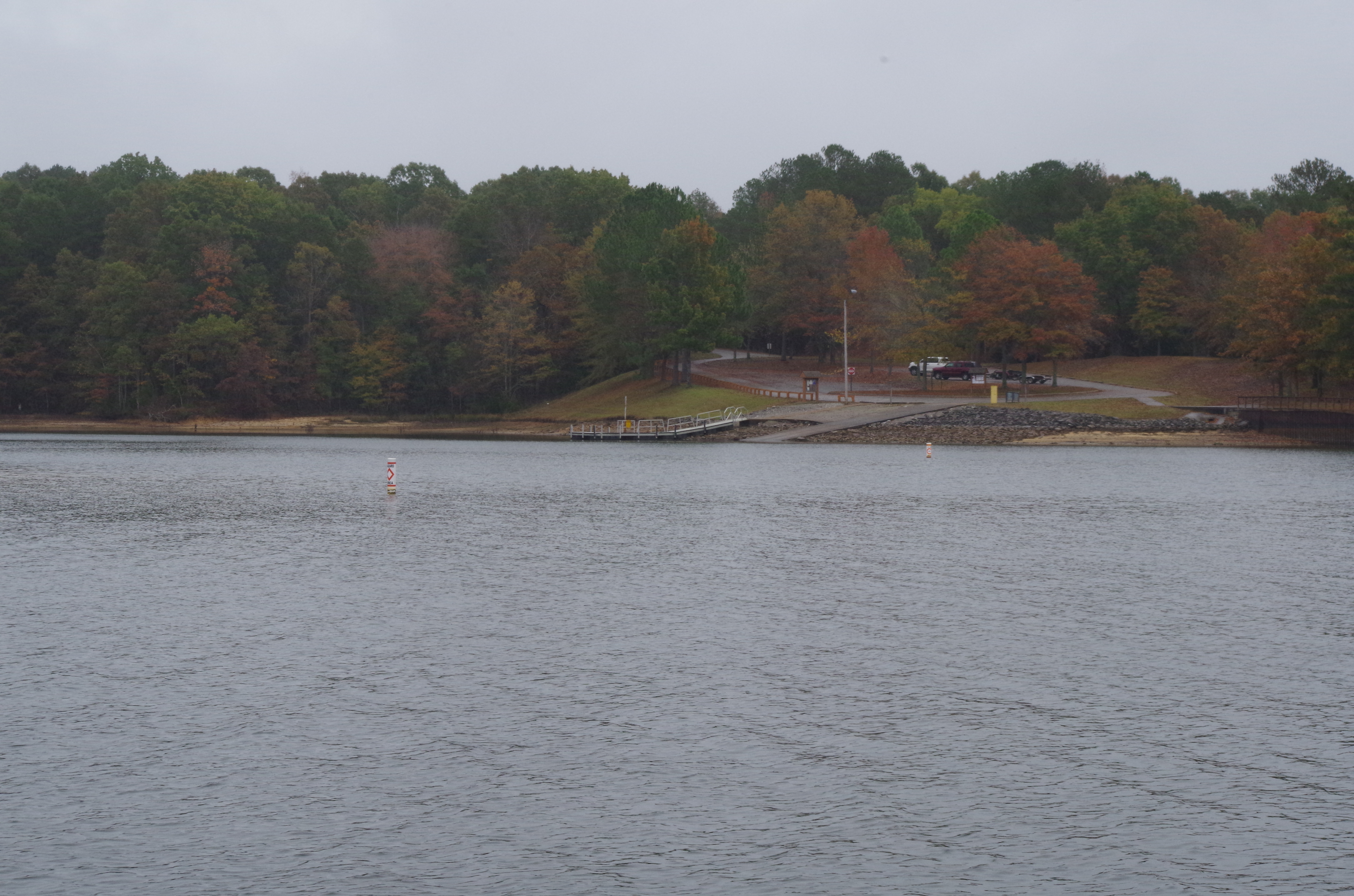
Five miles from where we anchored the previously night will be our next anchorage for tonight. Jamie L. Whitten Lock and Dam is at the Northernmost park of the Tennessee-Tombigbee Waterway. Also located near Dennis Mississippi. This boat ramp is part of the recreational area that supports fishing, hunting, camping, hiking, swimming and picnicking on Bay Spring Lake.
Heading into this arm to anchor in was a bit nerve-racking. I don’t know if you can tell but there sure are a lot of tree stumps to look out for near shore. But the bay was deep and we attached a trip line as a precaution.
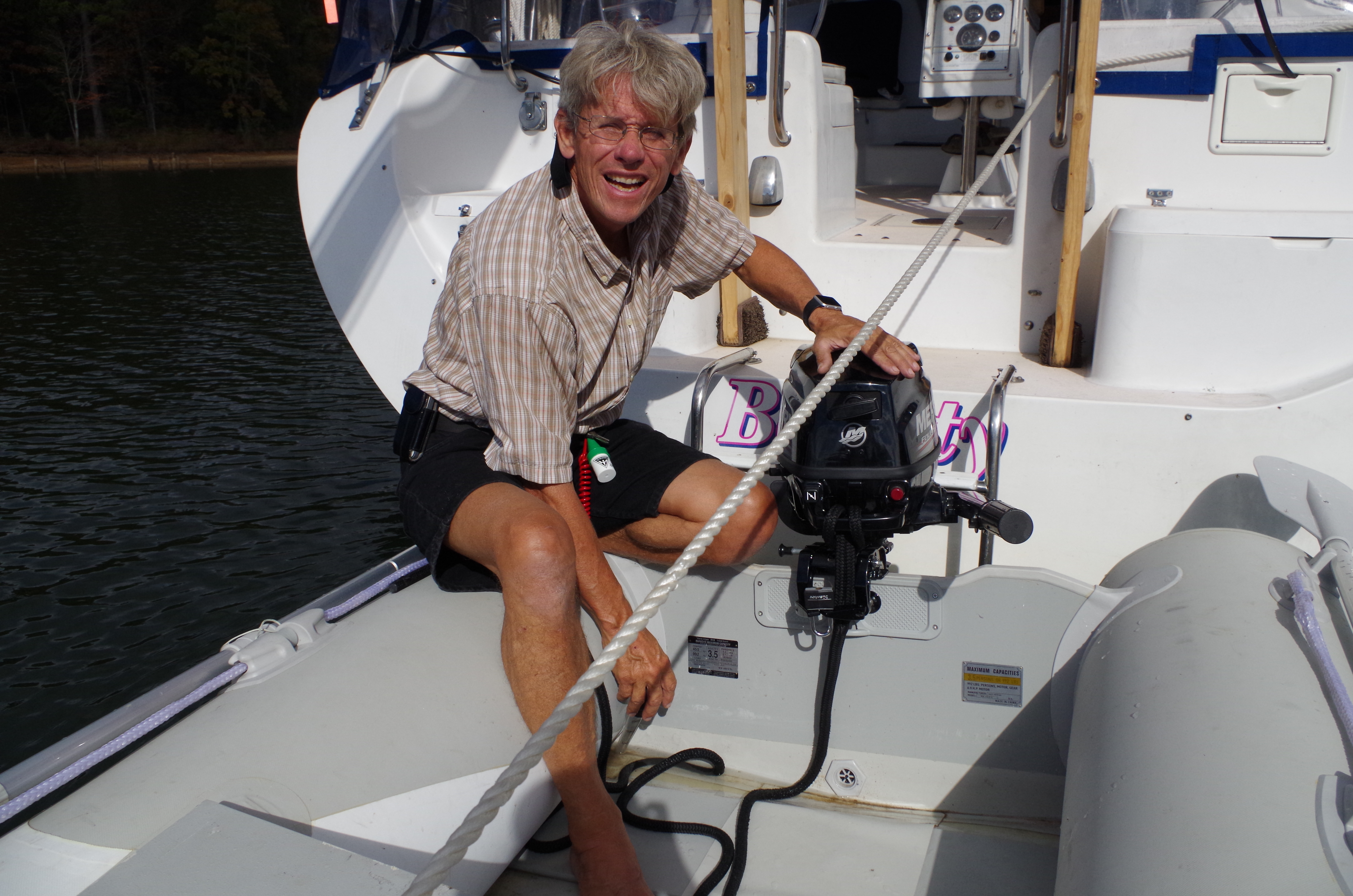
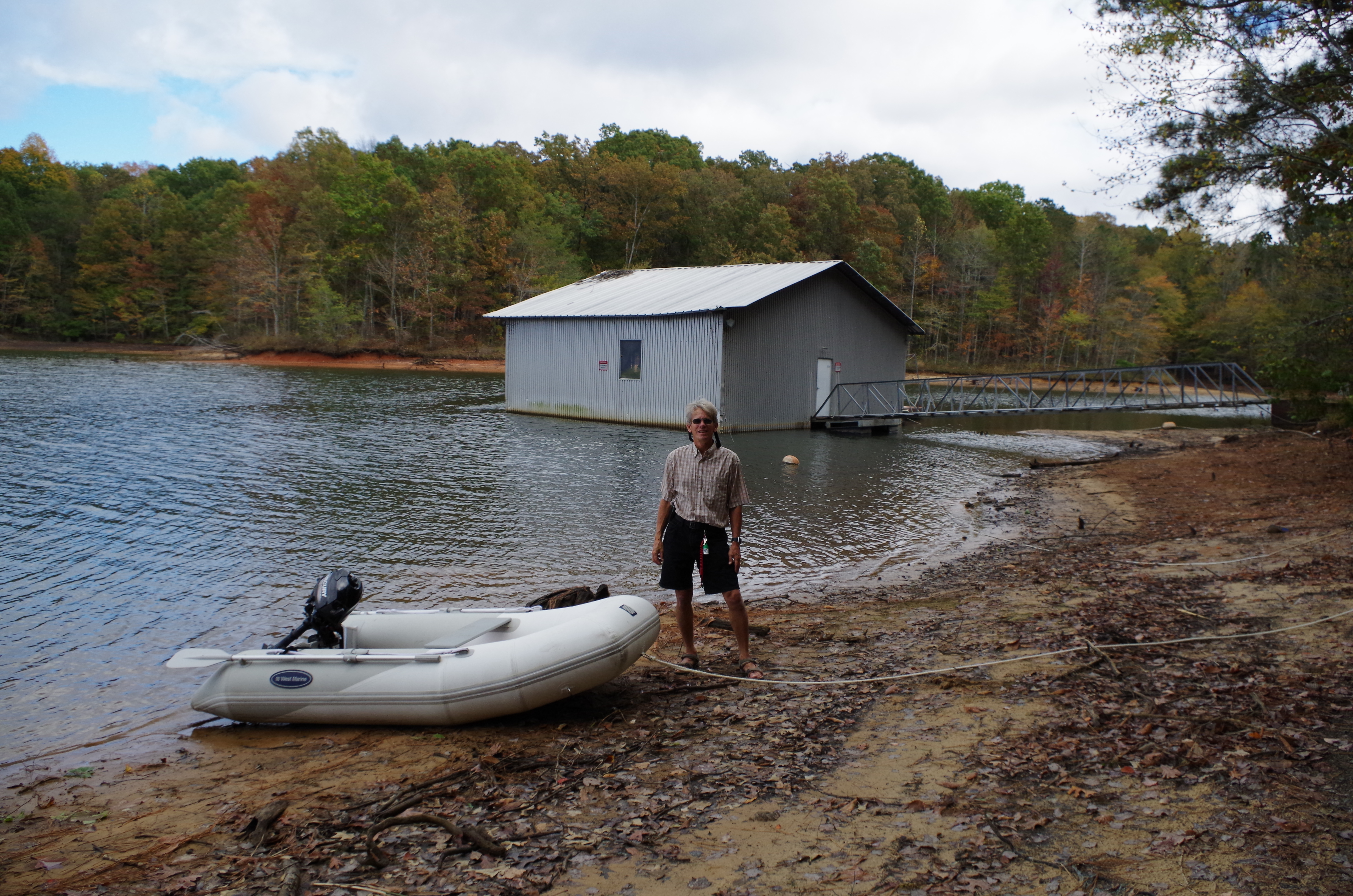
After chores were done, we took the dinghy into the Visitor center to take a look around.
According to our Waterway Guide book this was the place to park the dingy. I was being He-woman and pulled Bryce and the dinghy onto shore not realizing the muck and slid into it hands first. We headed through the woods. Not really a great path and breaking webs are we walked through it. Just as we came to the parking lot, we noticed a web with a big ugly red spider hanging in it. Bryce told me to duck and follow him. I freaked-out dong a little jumping. After rubbing my hands through my hair, I brushed off my clothes. Chills went rushing through me at the thought of that spider crawling up my arm.
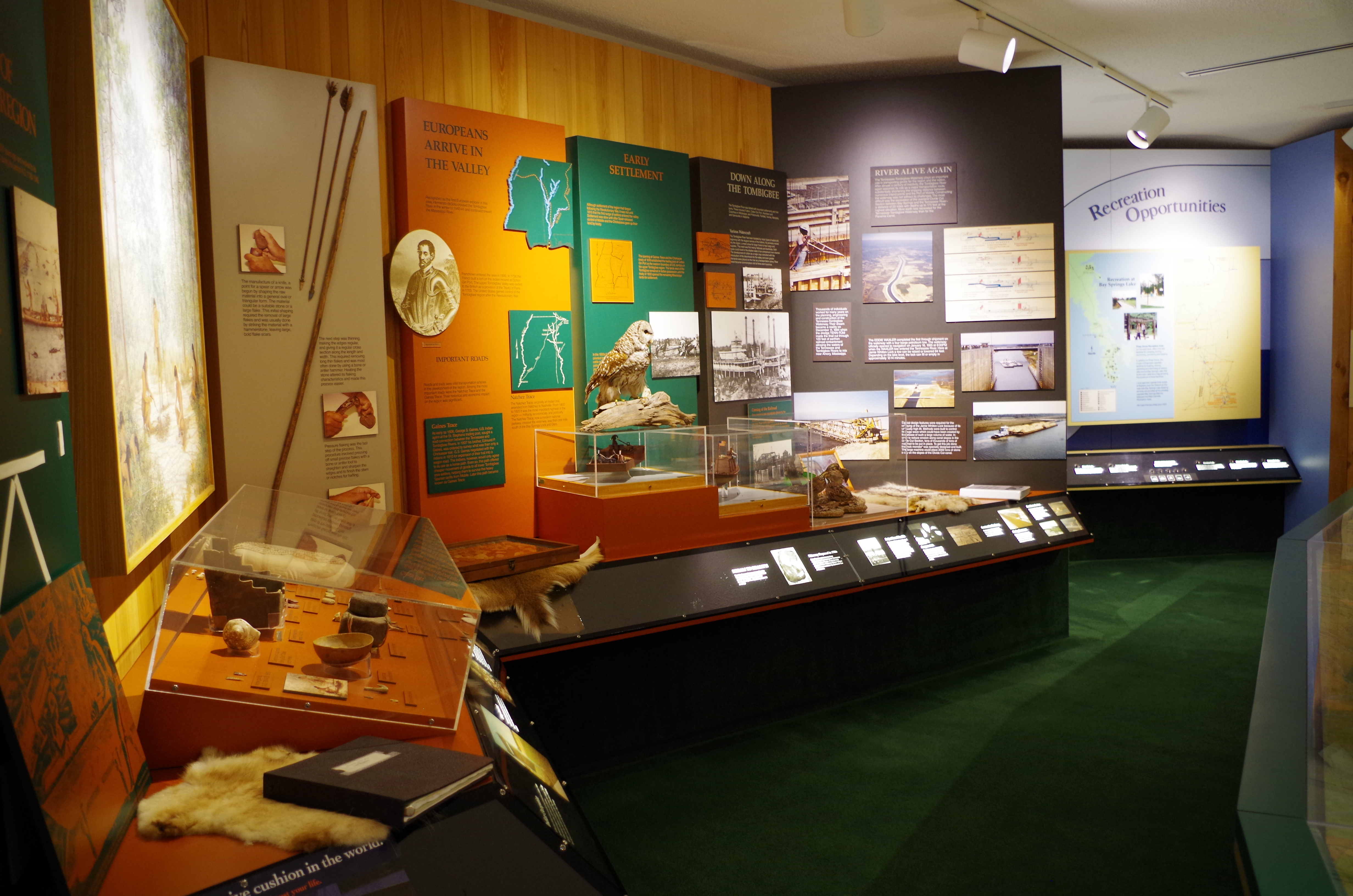
Made it to the visitor center. A wall full of history to explore.
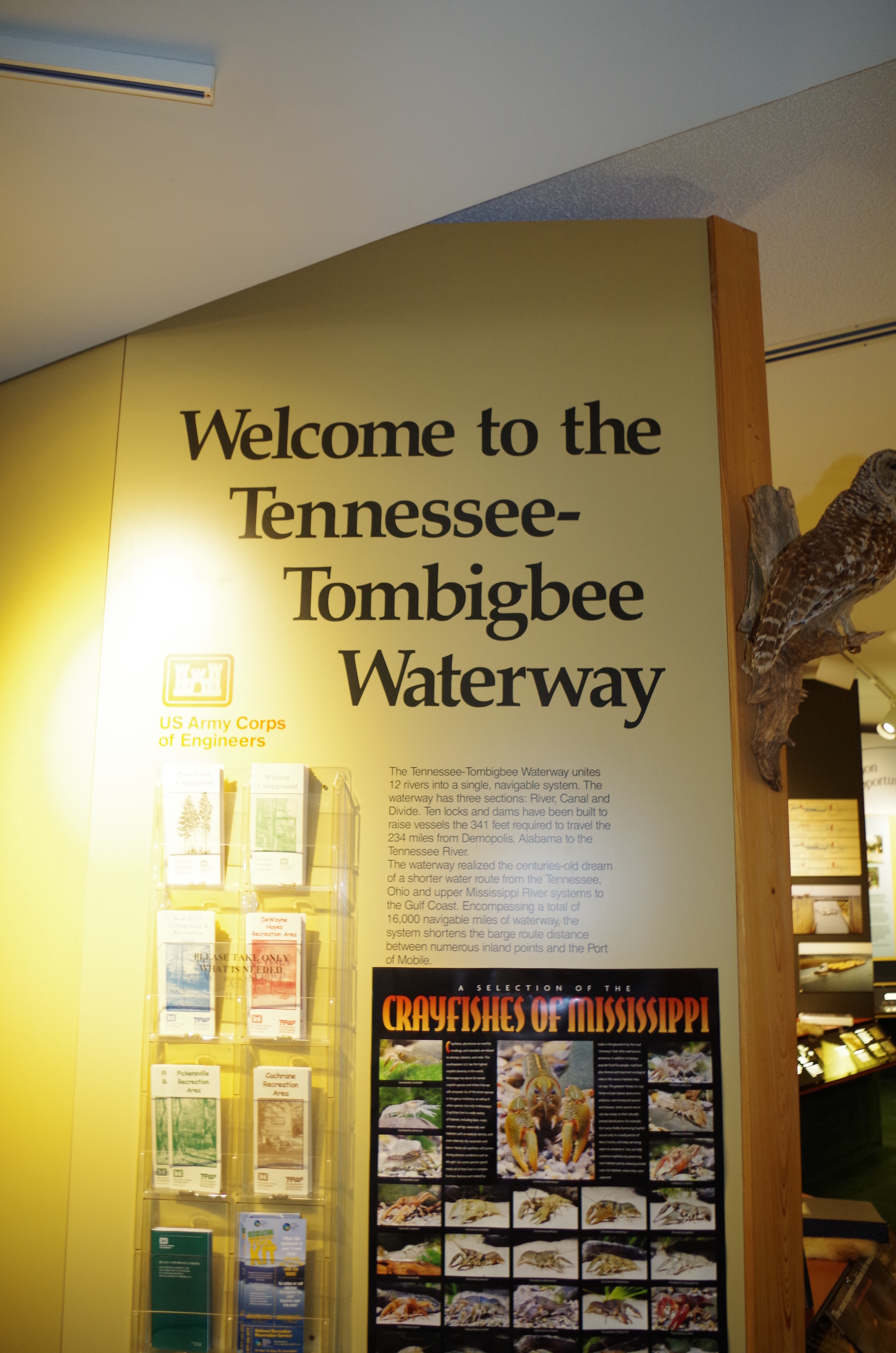
This was a small visitor center but nevertheless interesting.
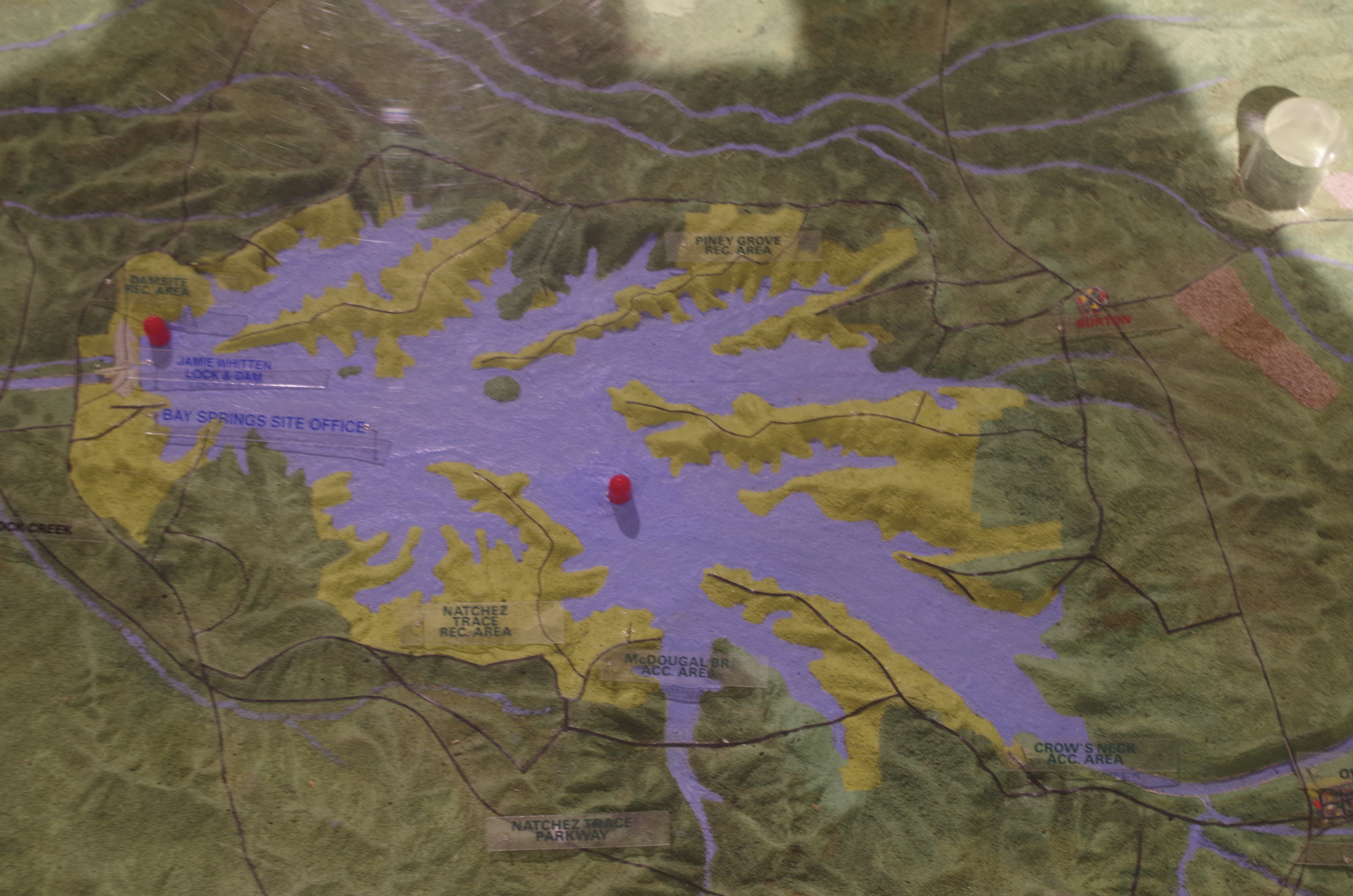
Very large three-D model of the Ten-tom waterway. This is a model of Bay Spring Lake formed by Jamie L Whitten Lock and Dam.
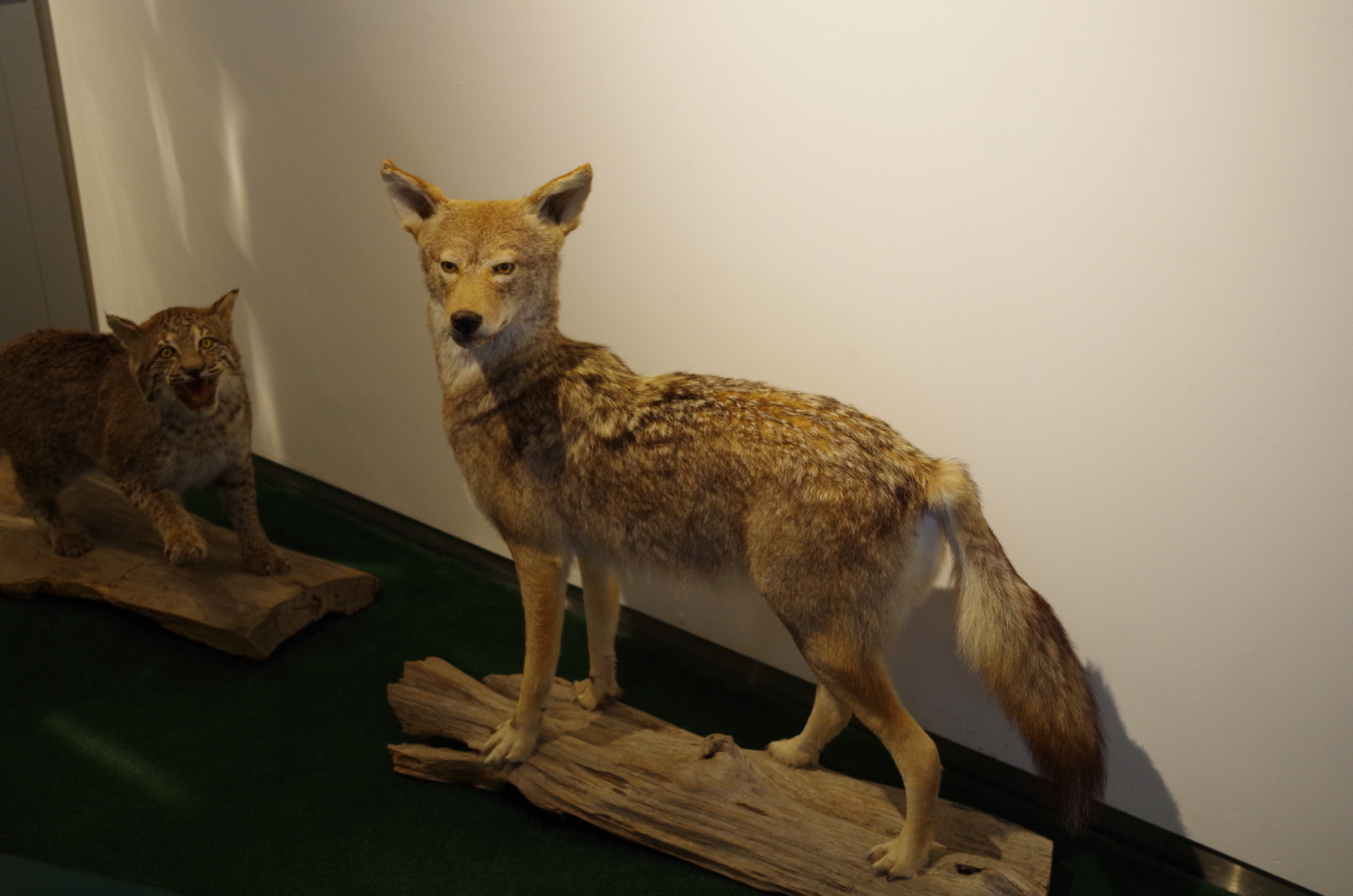
Not sure if you remember or not but this Coyote does look like the one I posted a picture of in my past blog.
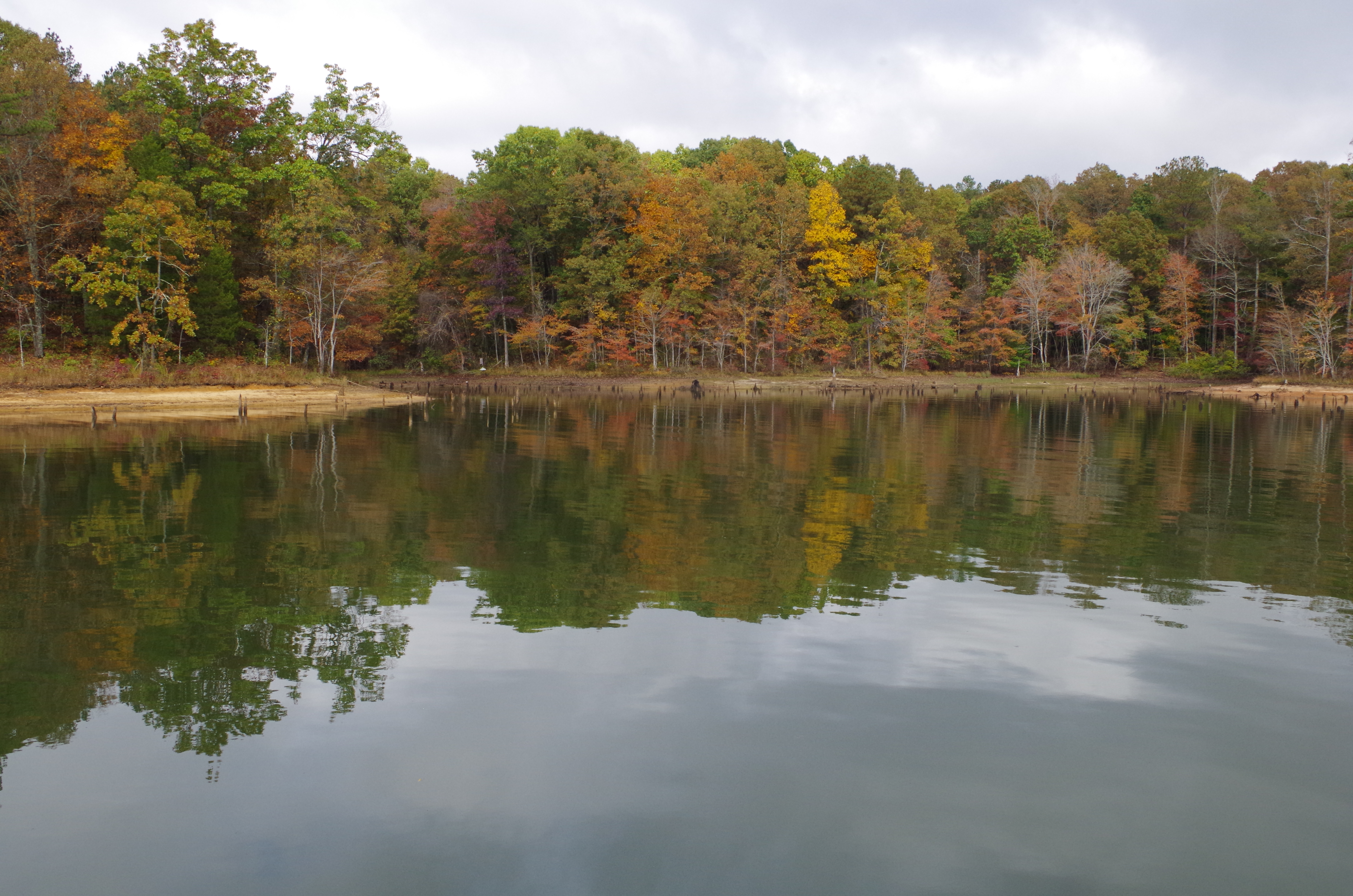
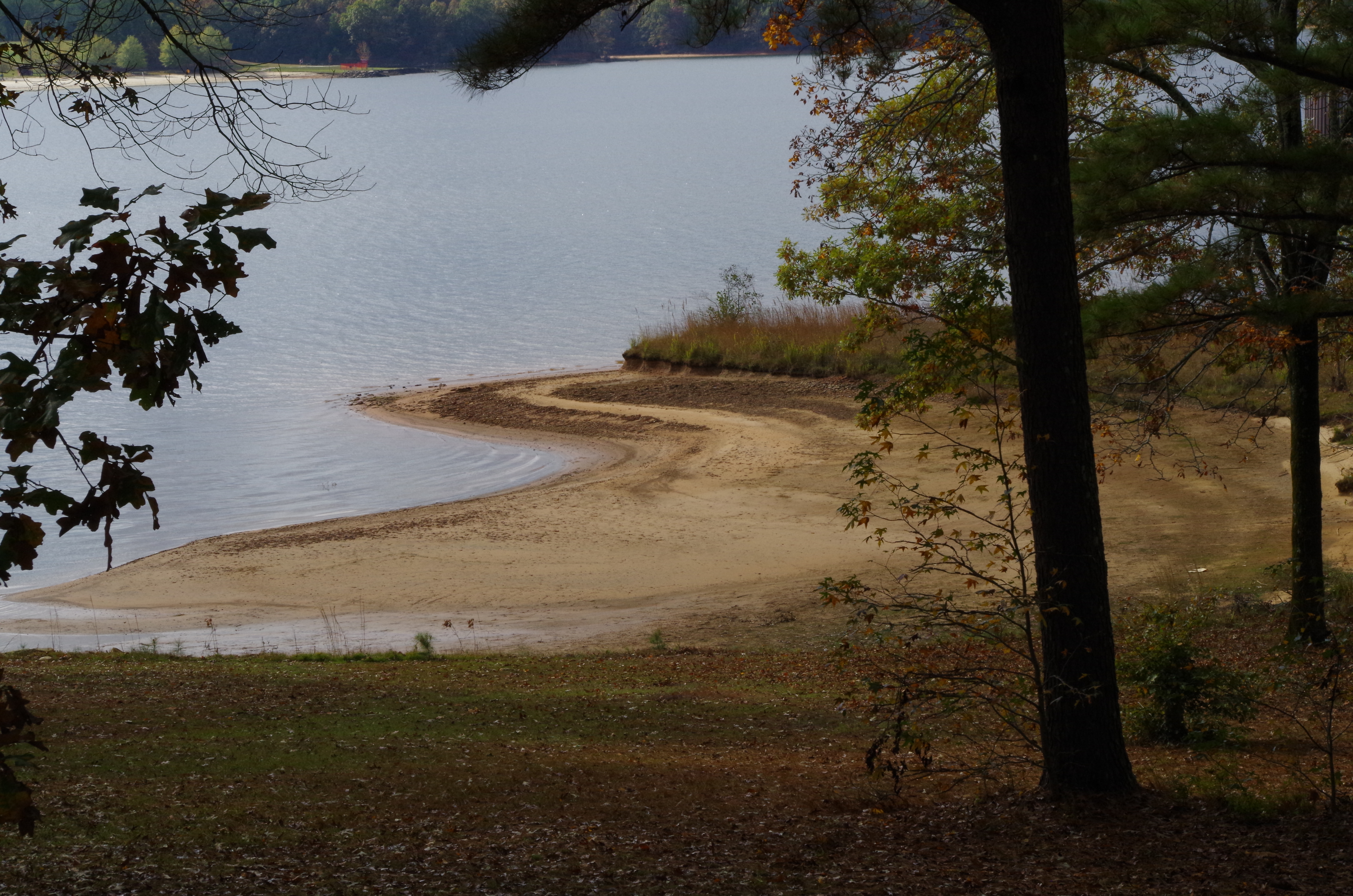
This is a sandy beach just out-side the visitor center. There was a larger one on the other side of the lake.
Remember, I just told you about the spider? lol Bryce went back and drove the dinghy around the point so I didn’t have to Freak-out again. Here was a better dingy dock directly in front of the visitor center.
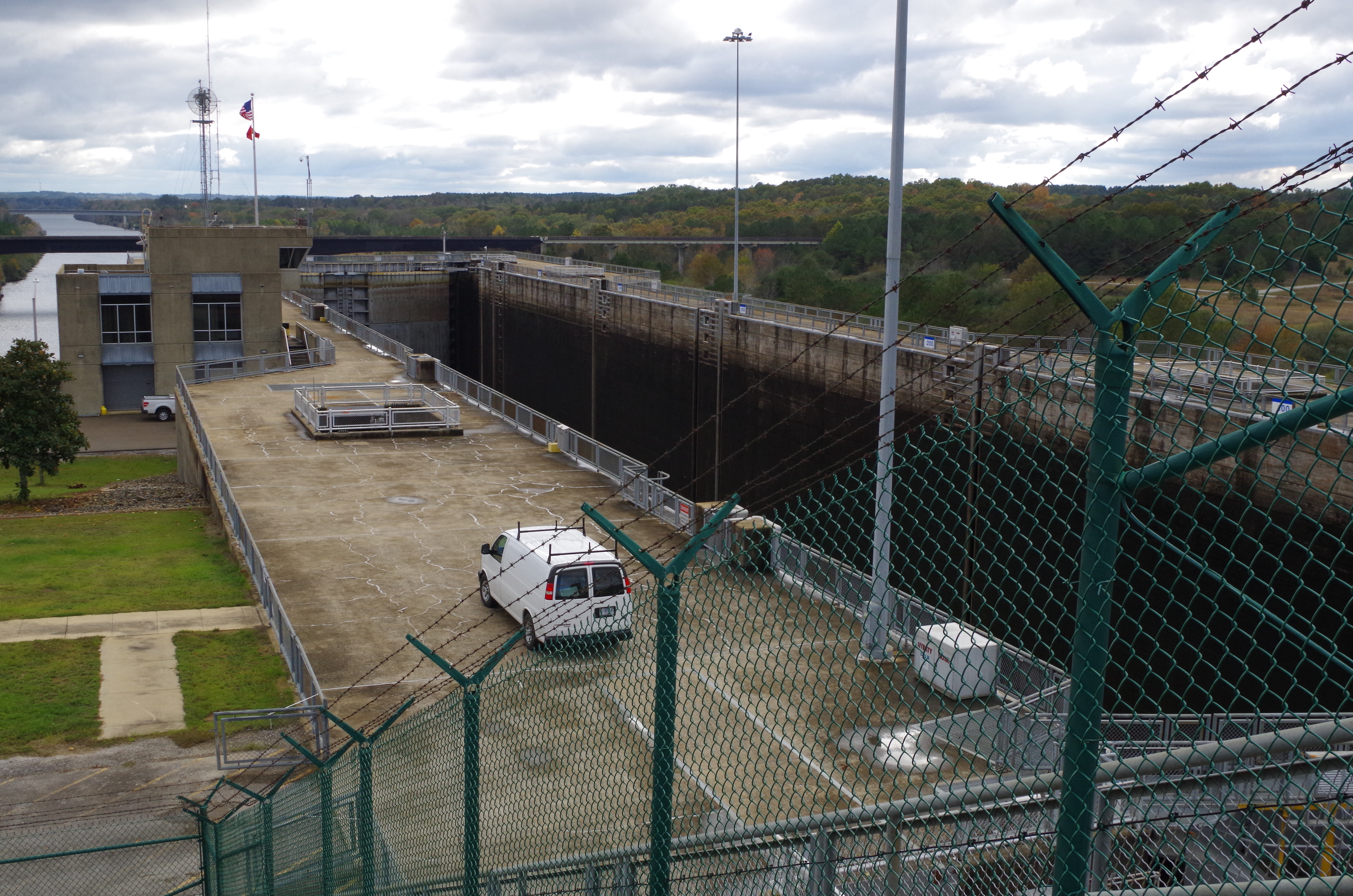
We decided to take the path to see the lock. Bryce walked in-front of me to break any webs. Its fall, so many of the leaves have fallen. But temps are mild. Thursday its suppose to be mid 80s.
This is Jamie L. Whitten Lock that takes us from Bay Spring Lake down. The Tombigbee Waterway was built to provide a shorter distance navigational route from middle of the United States to the gulf of Mexico. You’ll find Jamie L. Whitten at mile marker 411.9 (distance to Mobile Alabama). This lock lowered us 84 feet it’s the third highest lock east of the Mississippi and is also the fourth highest in the nation. We locked through the following day.
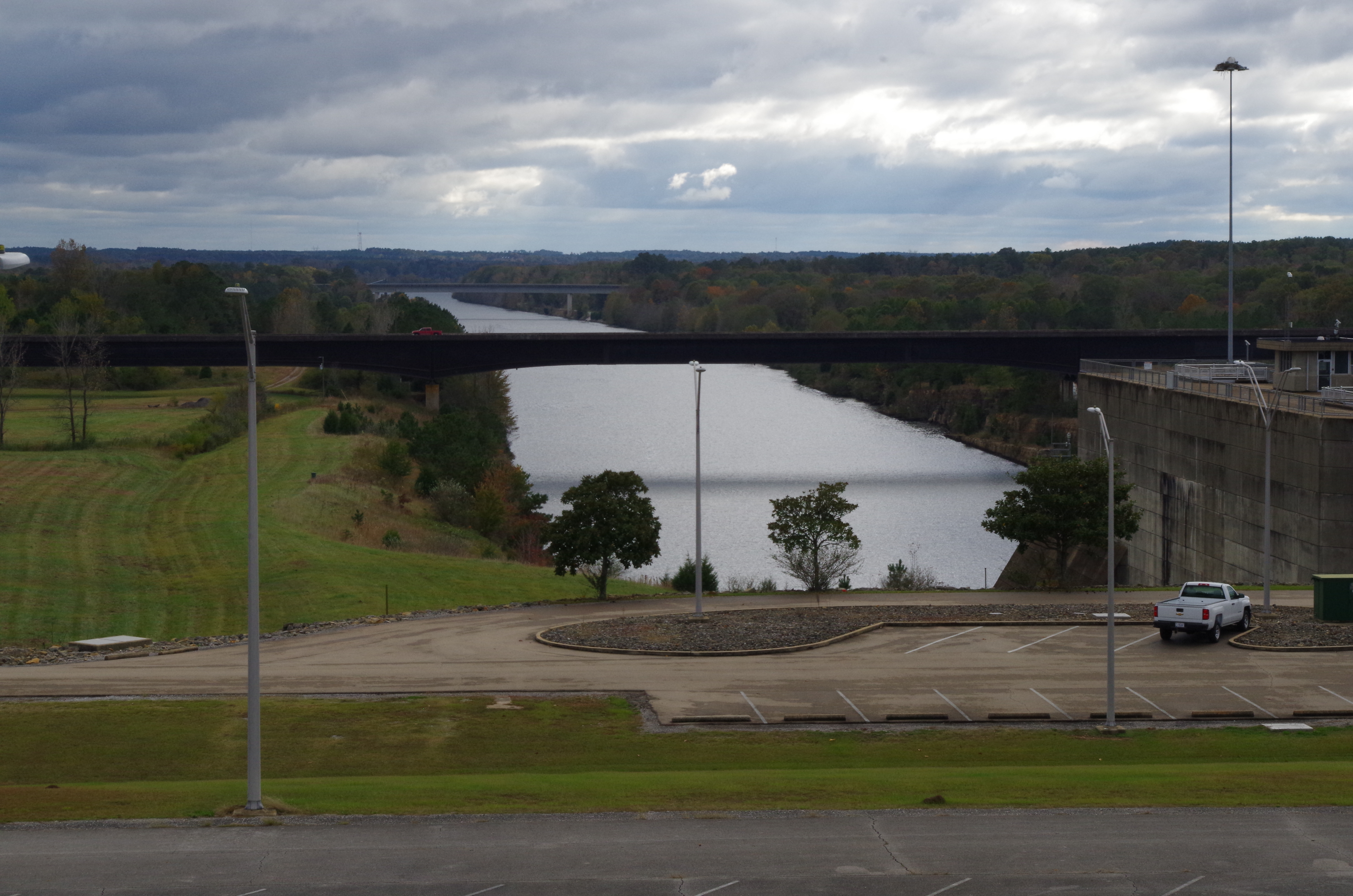
What a great view of the Tombigbee River from the top of the lock.
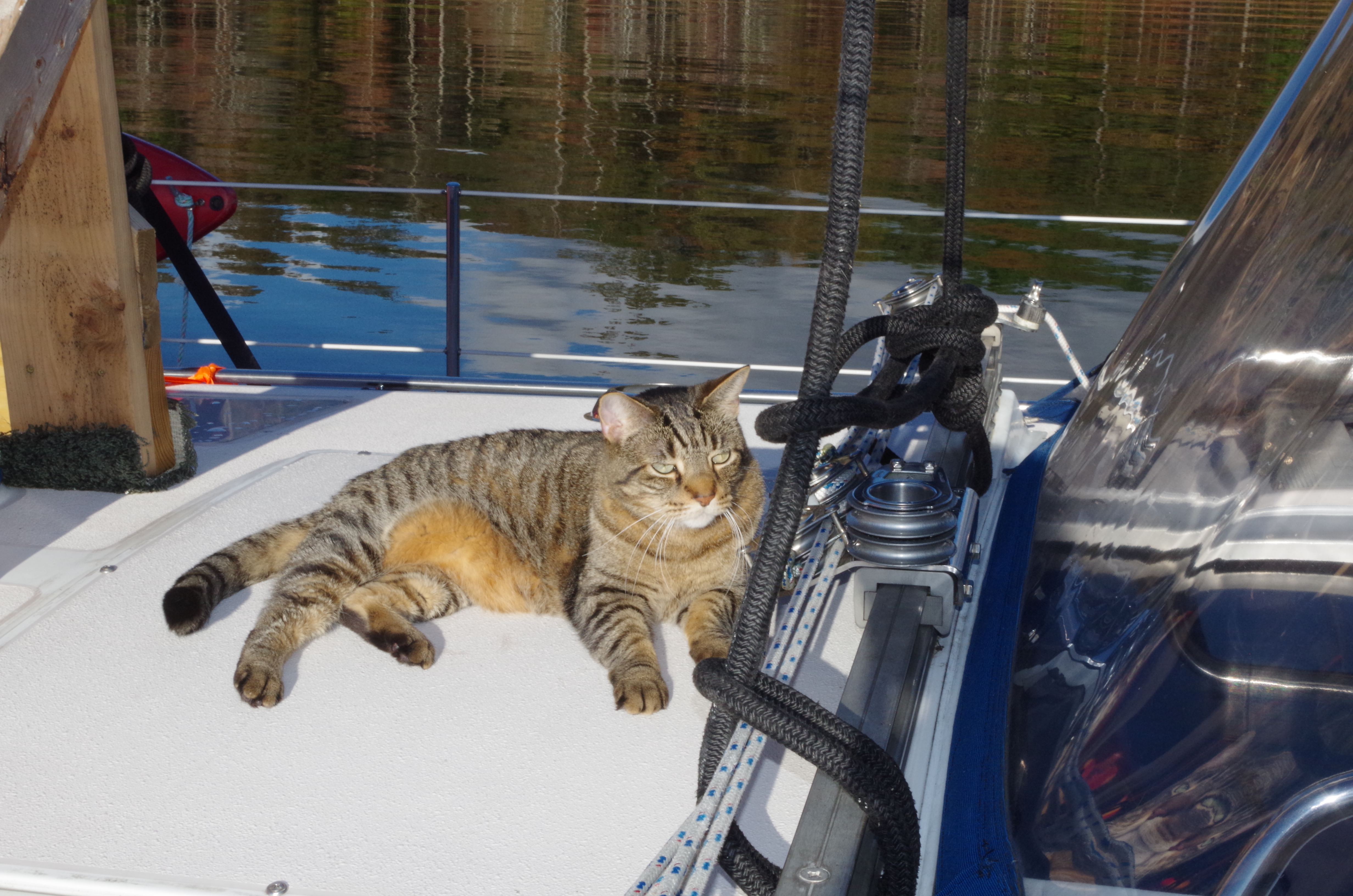
Beauty resting comfortable with George watching over as we explored.
This was a goodnight from the Tennessee Tombigbee. We sat on the bow with a cup of coffee as the night settled in.

