The Mighty Mississippi 

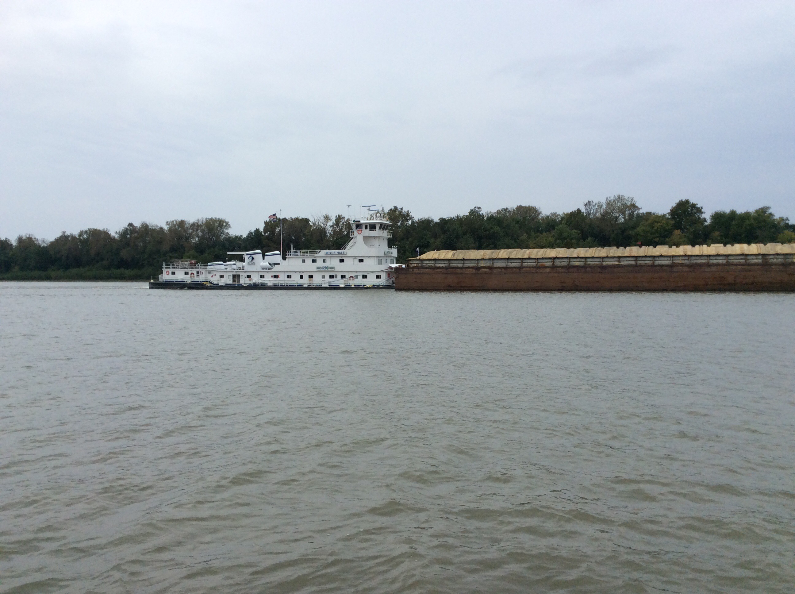
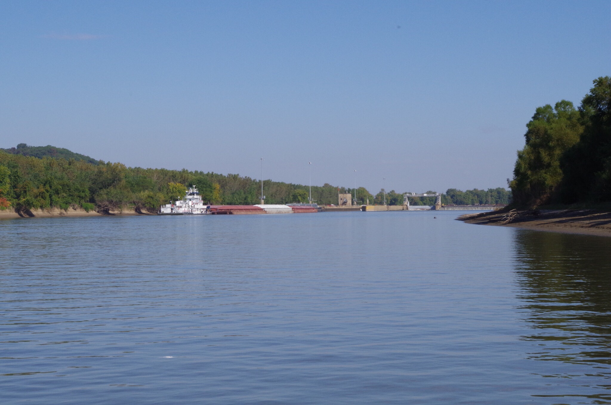
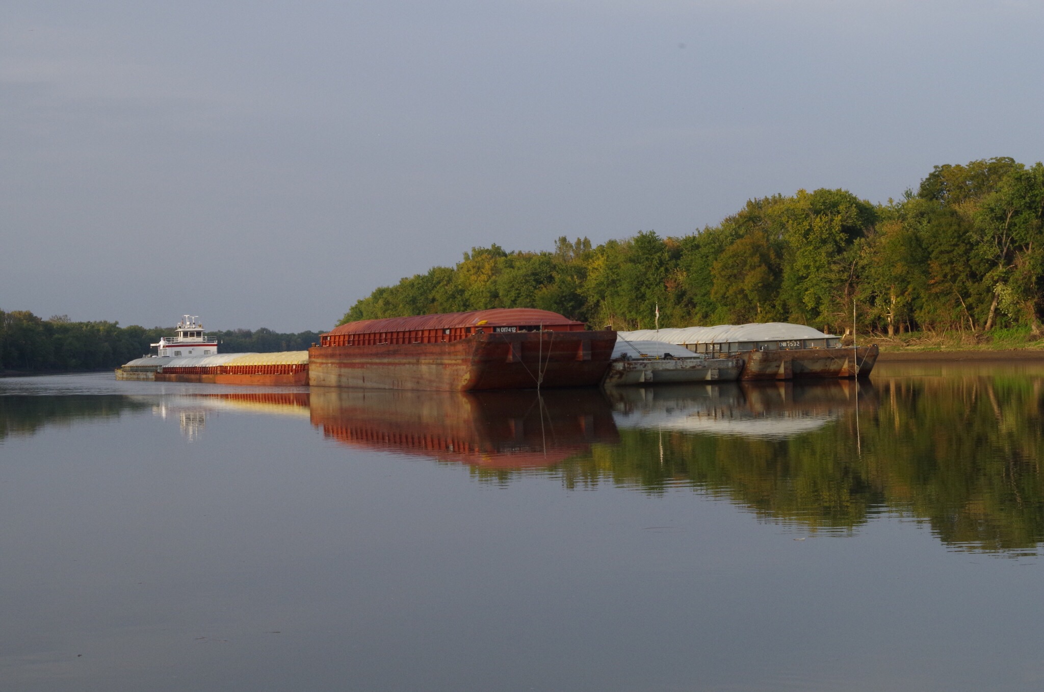
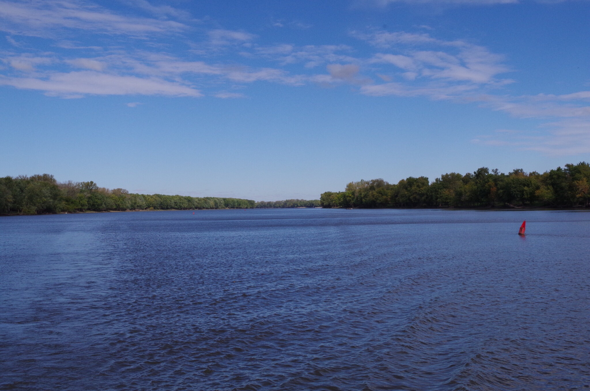
Our journey to the Mighty Mississippi was extremely scenic, from the meeting of the Illions River to the Mississippi and Missouri Rivers.   What a spectacular day we had. The views were just exceptional. From the time we left Graton, the views just keep getting better. What really amazes me the most is all the barge traffic here on the Mississippi. I thought it was heavy on the Illinois it just doesn’t seem to stop. I guess that is a good thing for the economy. 

We have been using the Waterway Guide for reference on this trip. But it doesn’t do the anchorages justice on the Mississippi after St. Louis. We use our GPS and depth gage to look for anchorages near what they call groins on the charts. They are structures that are built from shore to protect the shore from erosion. They trap sand to help direct the current from scouring the channel. To me they look like arms of rock sticking out of the water off shore and are excellent to anchor near.

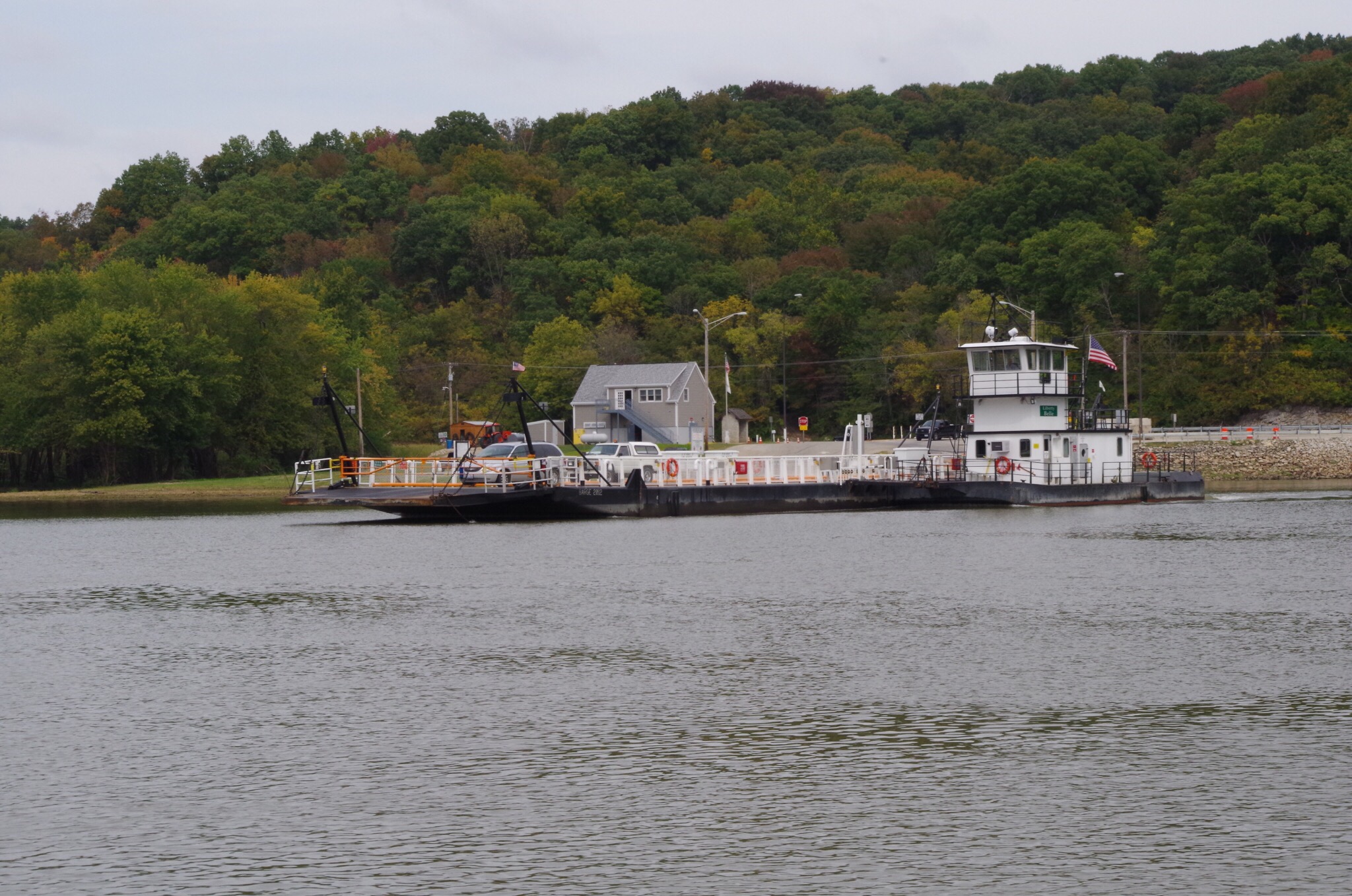
  We saw our first car ferry on the Illinois River just before the Mississippi. 


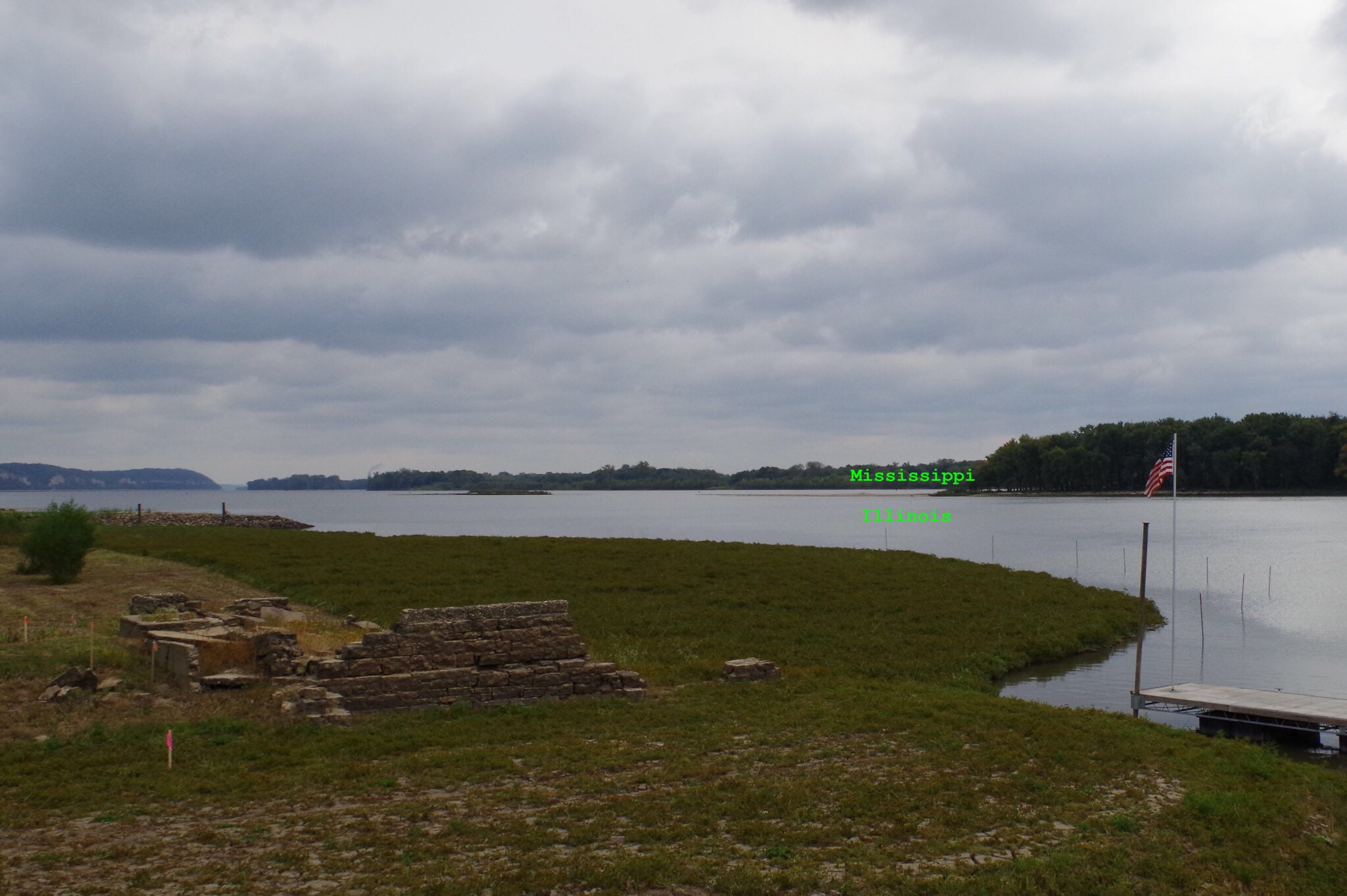
This little red and white bouy marks the meeting of the Mississippi and Illinois River.


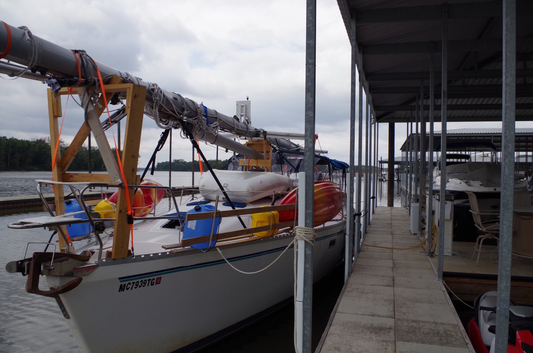
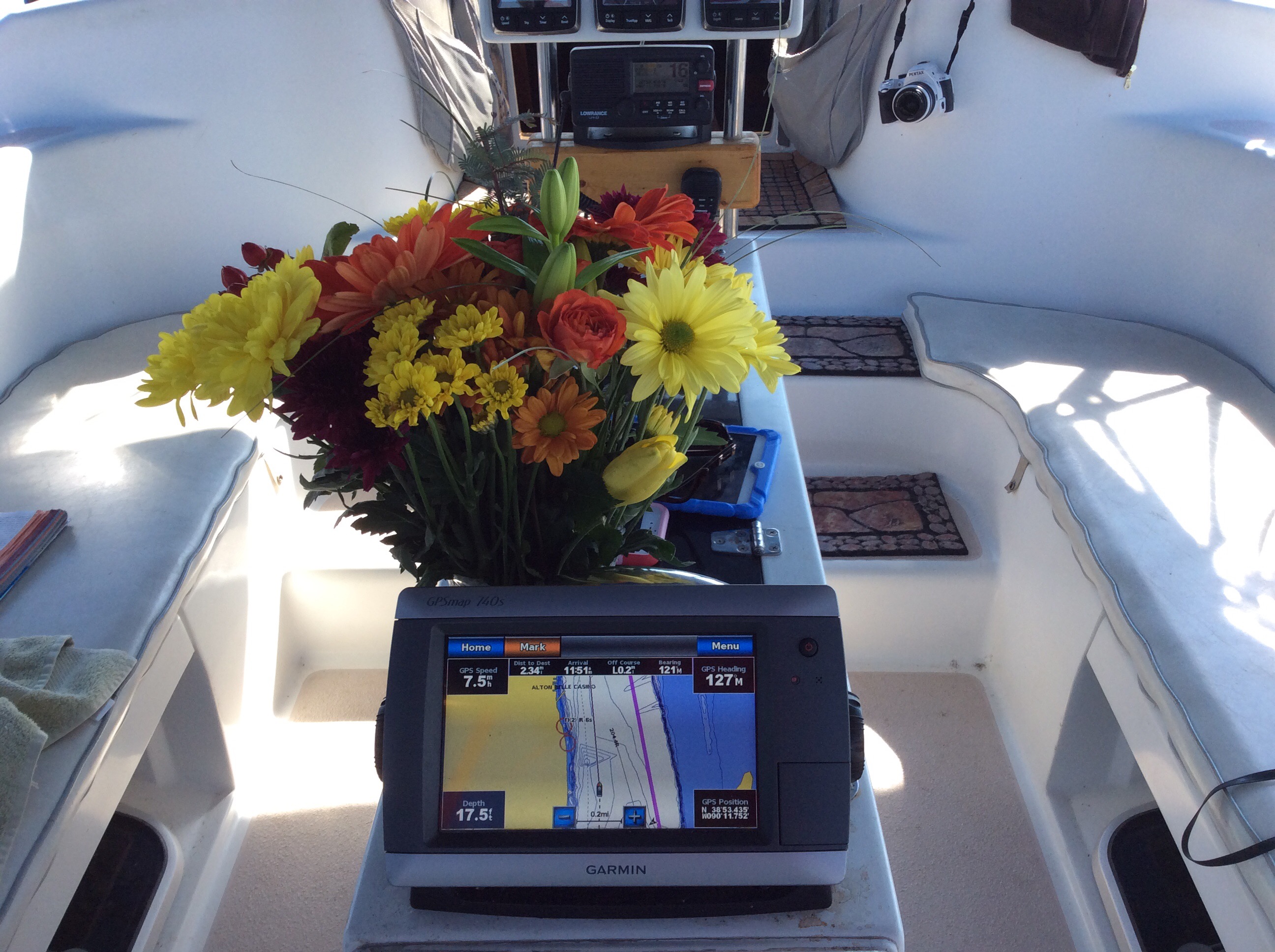
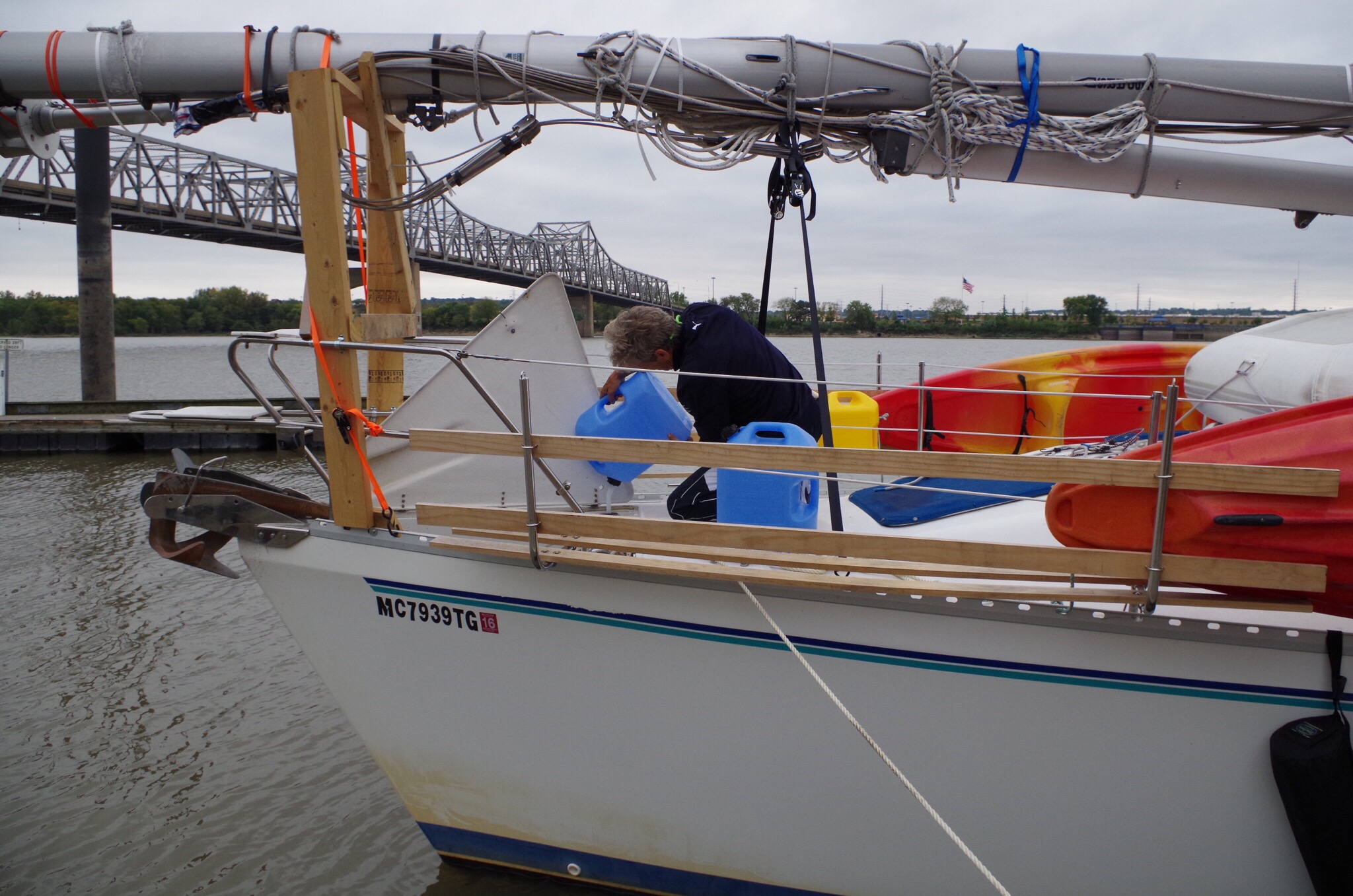
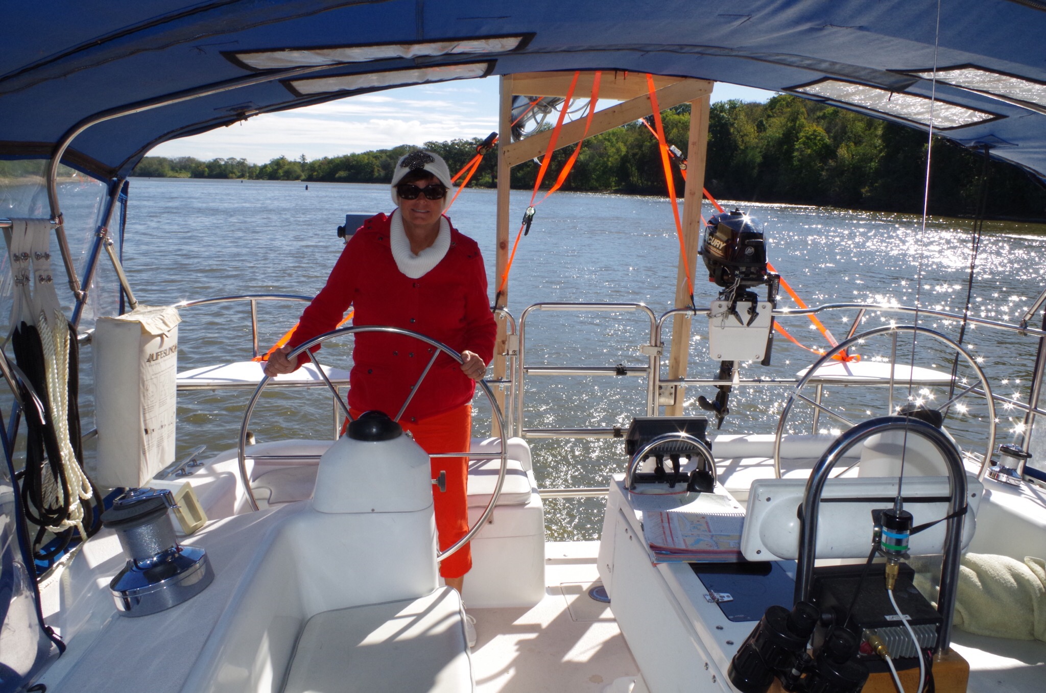
I have to take my turn in driving Beauty. I love it! Like my flowers? I think they brighten up the cockpit. 


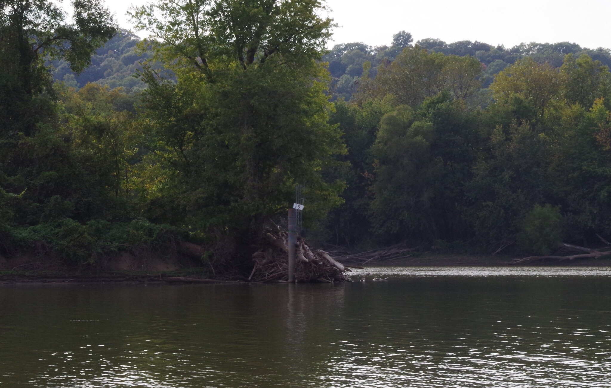
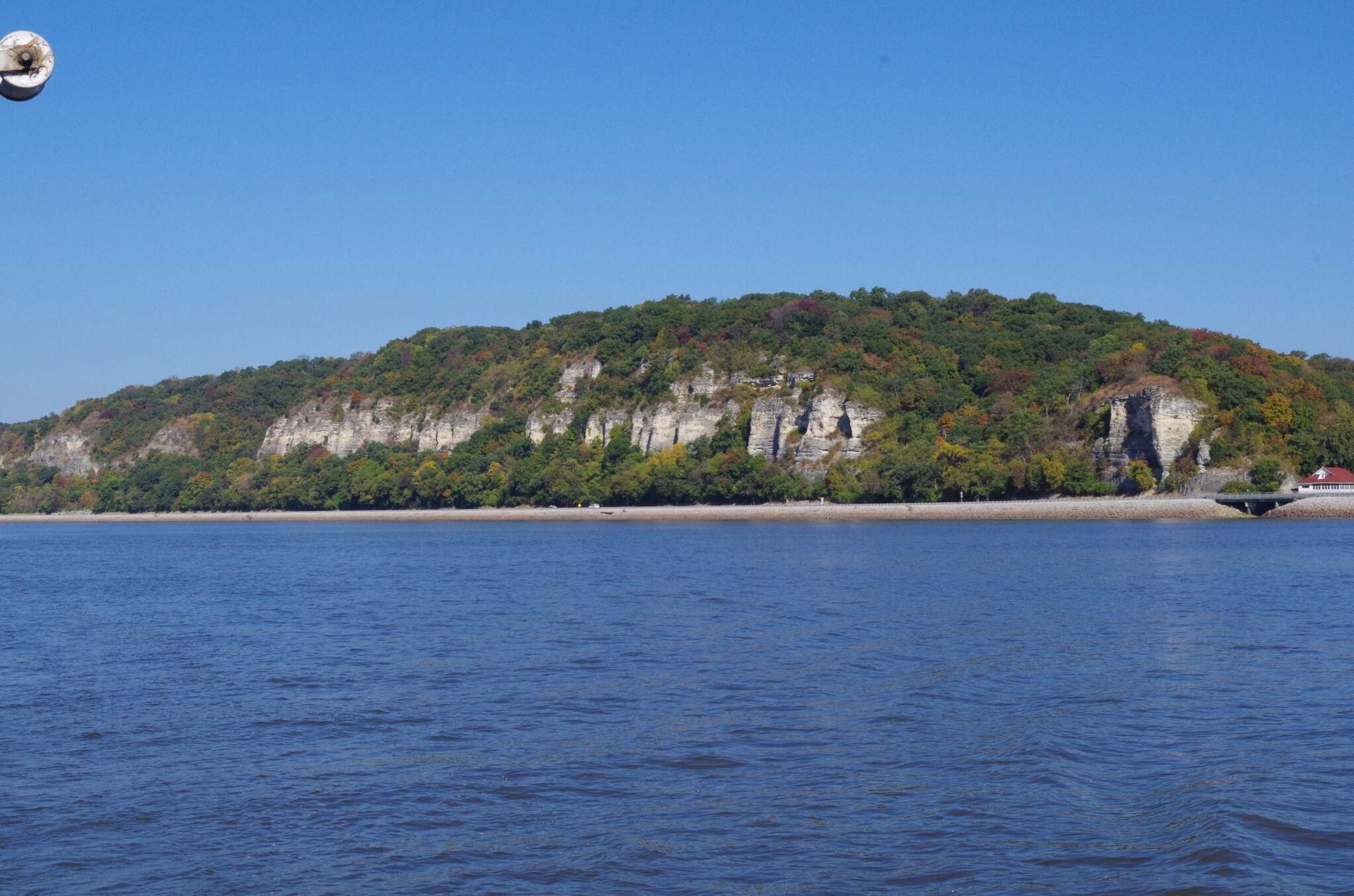
After the meeting of the two rivers, the view has started to change. The cliffs are neat to look at. 


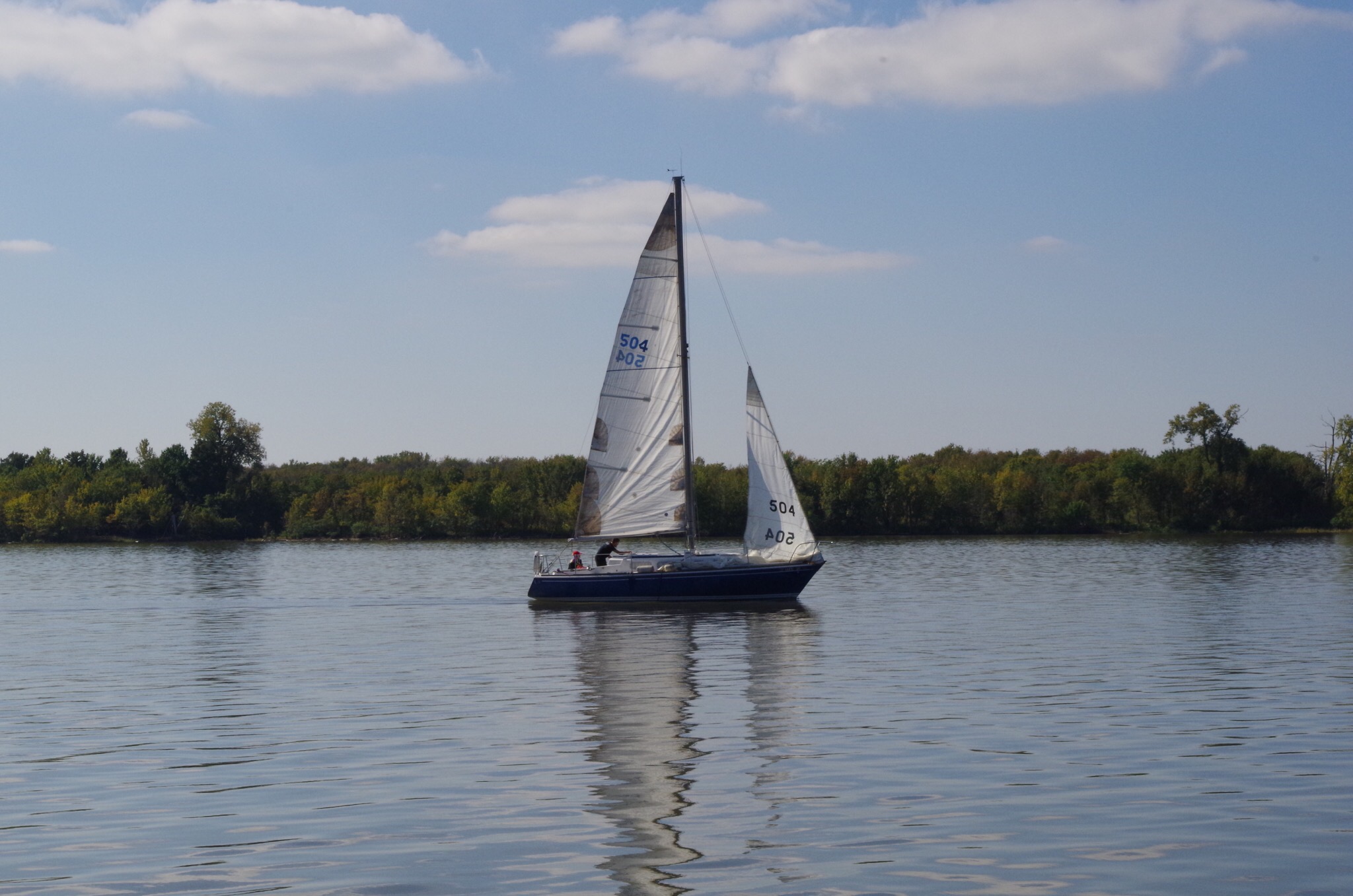
We watched this sailboat put up their sails and I was a bit jealous. Traveling along the Illinois & Mississippi and a few other rivers one has to remove the mast.  There are many fixed bridges that don’t open. We are looking forward to Mobile Alabama when the mast goes back up.


Along the shores of the Mississippi you’ll notice a national scenic byway called the Great River Road. If you look closely you’ll notice cars along the byway. 

 
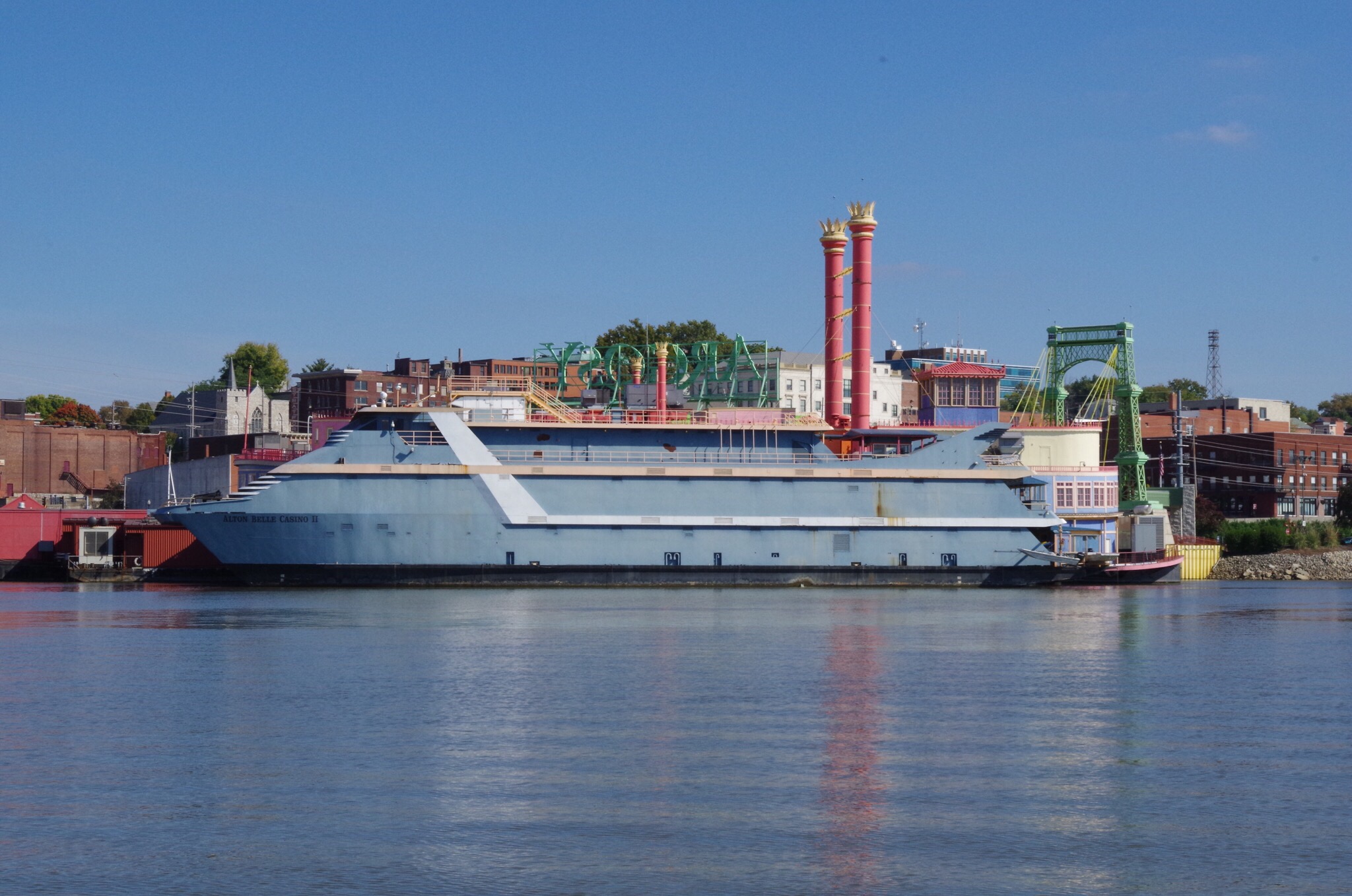
Aton Belle Casino II


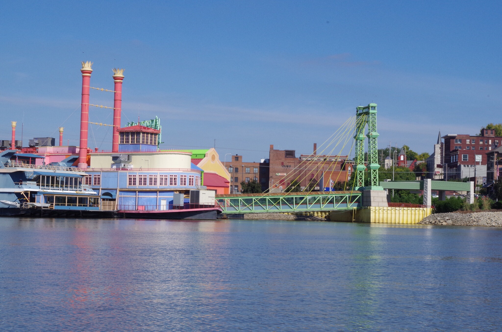
“Argosy Casino” love the bright colors..


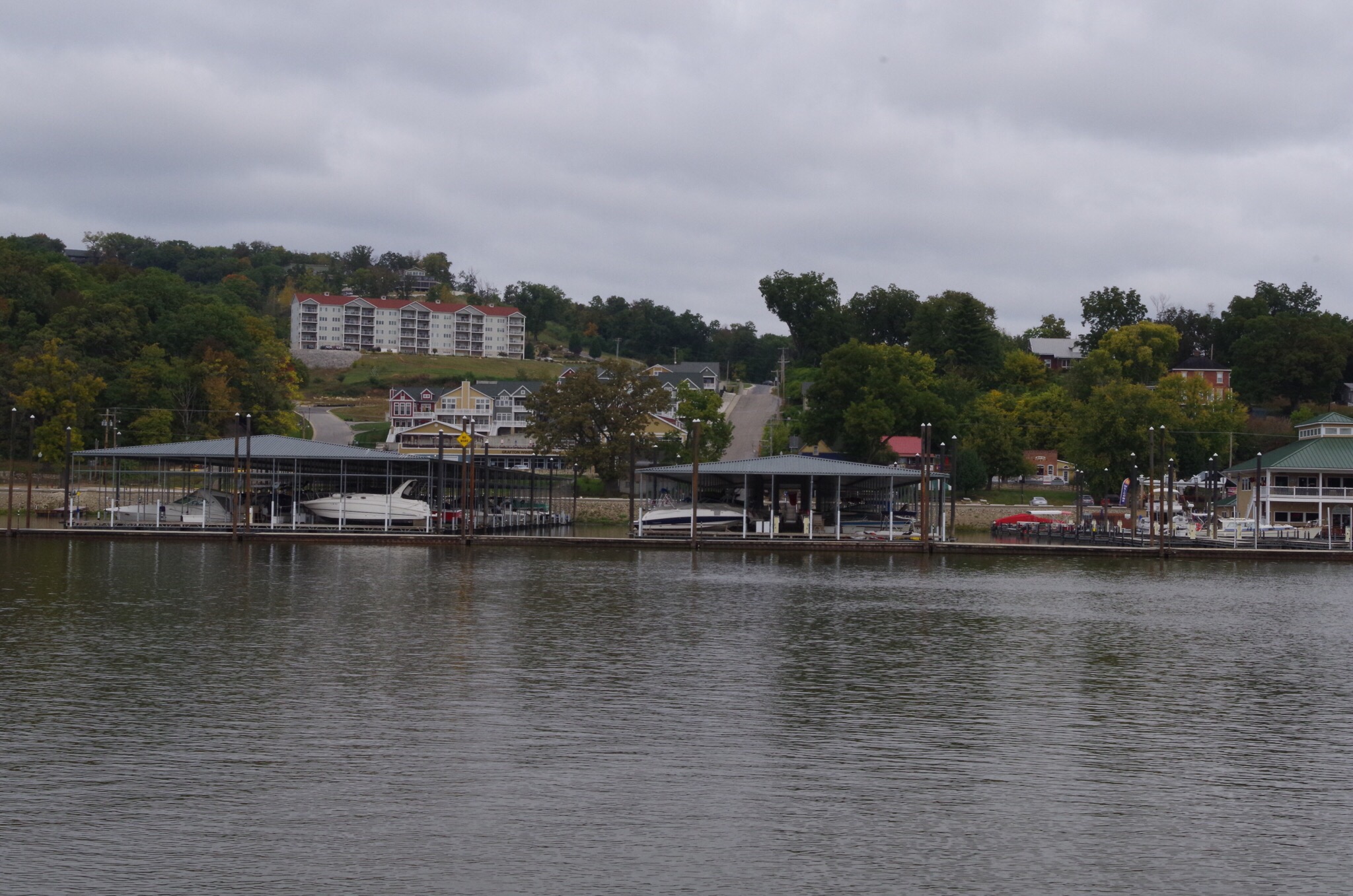
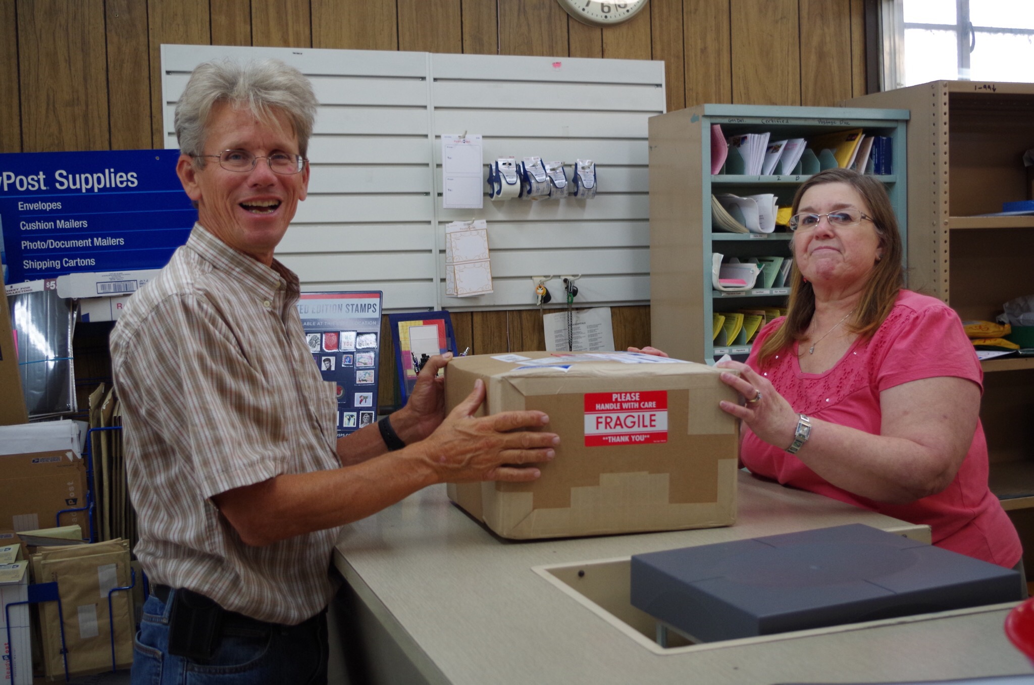
Off to the right under this bridge is Alton Marina. We have friends staying there and they seem to like it. We had to go to Grafton because Bryce was expecting a package. The two marinas are only about 10 miles a part. 


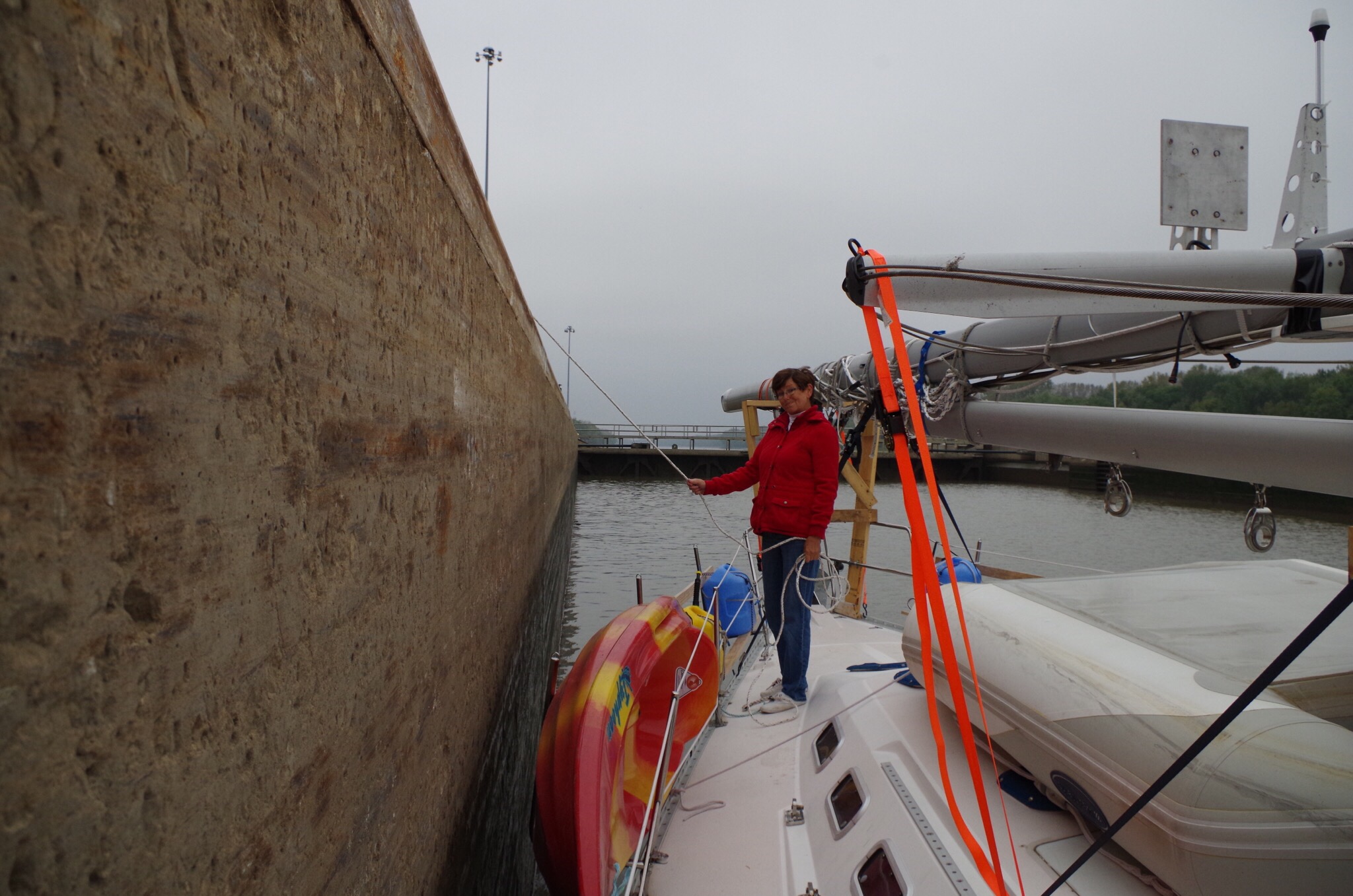
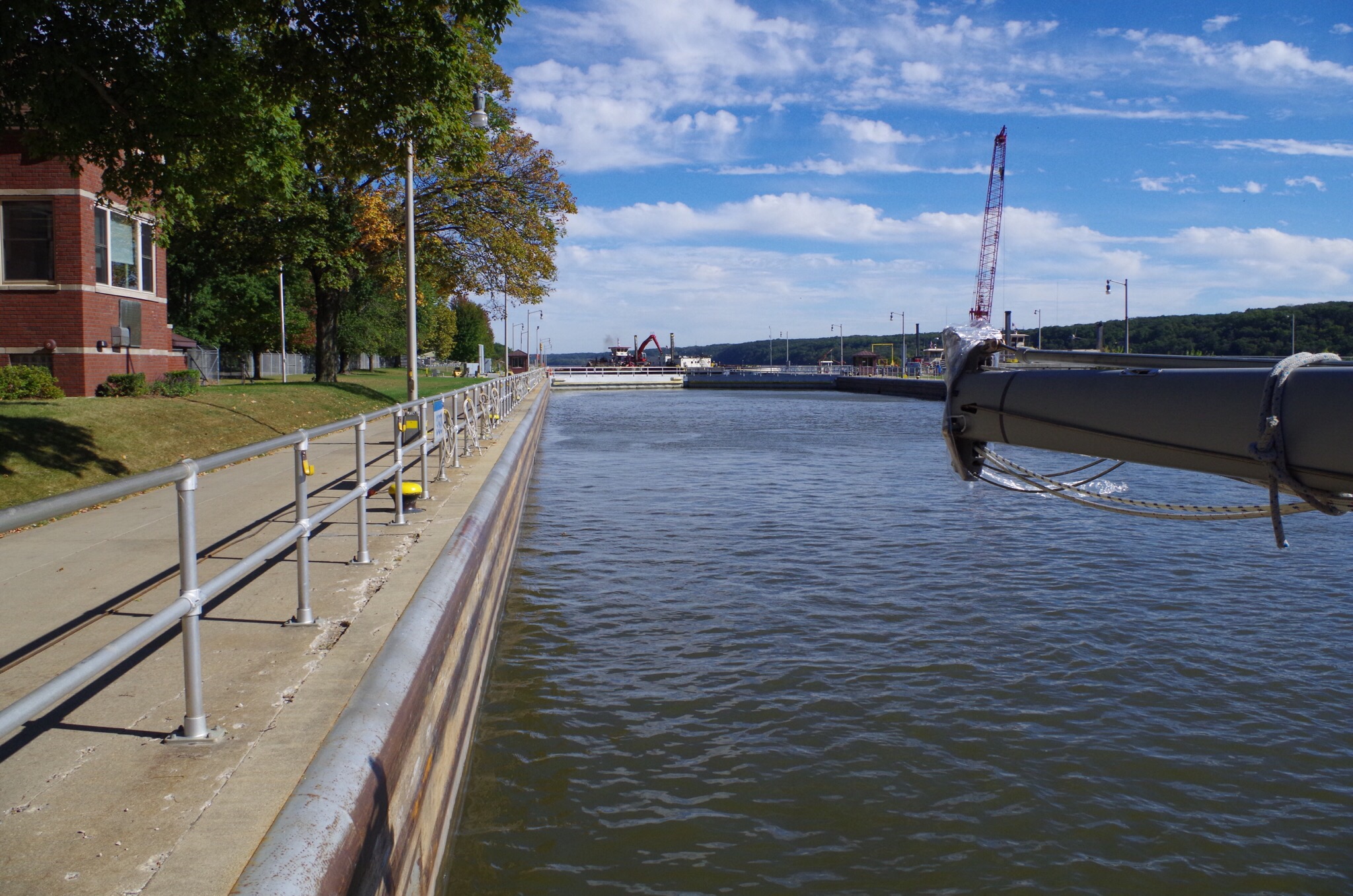
This is the Mel Price Lock and it is at mile marker 201.  It took us 23 feet down in the lock.  There are four of us in this lock.  Notice how puny we look in a 600 foot lock.  There is a 1100 foot lock just next over for bigger tows.


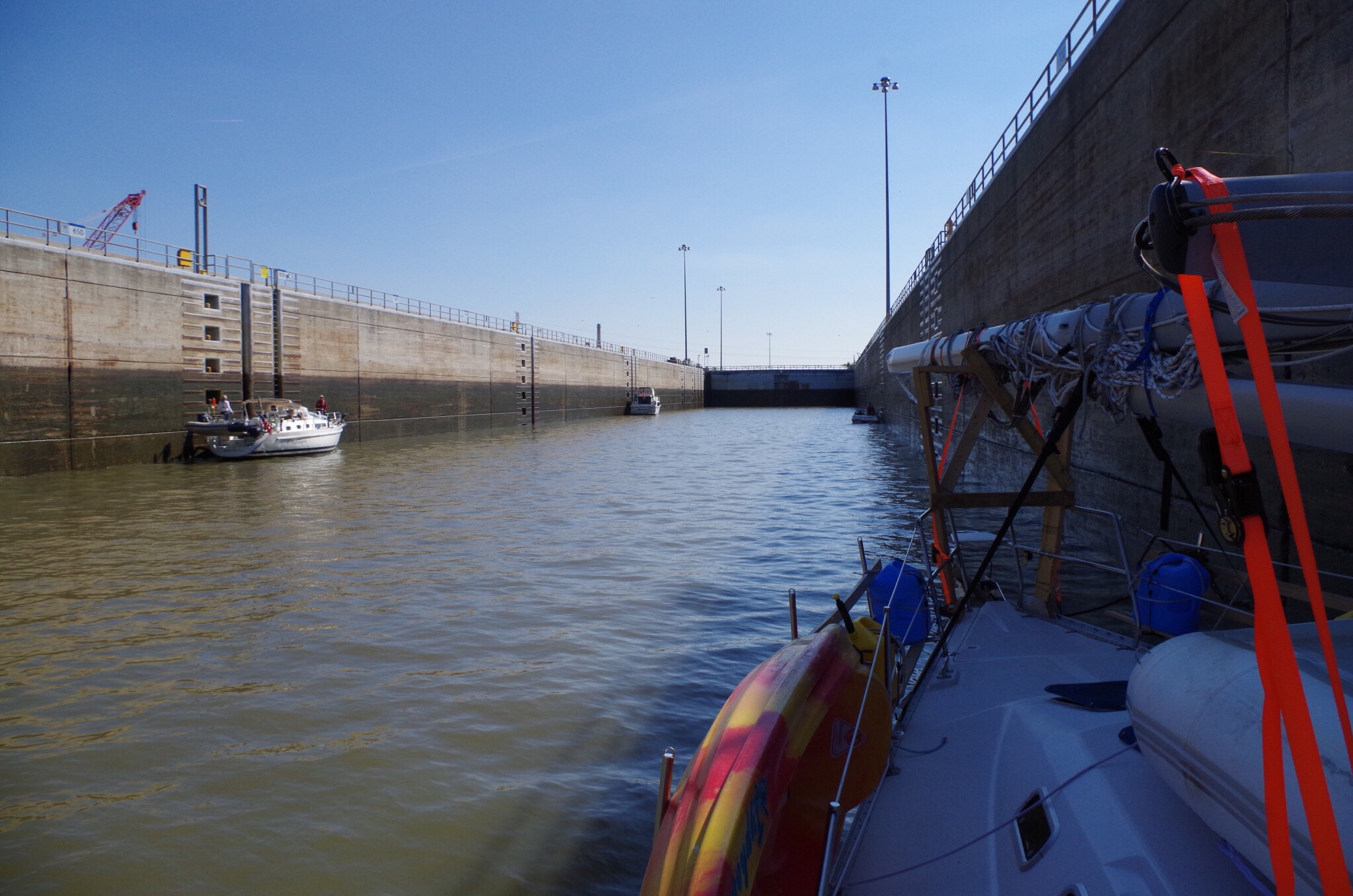
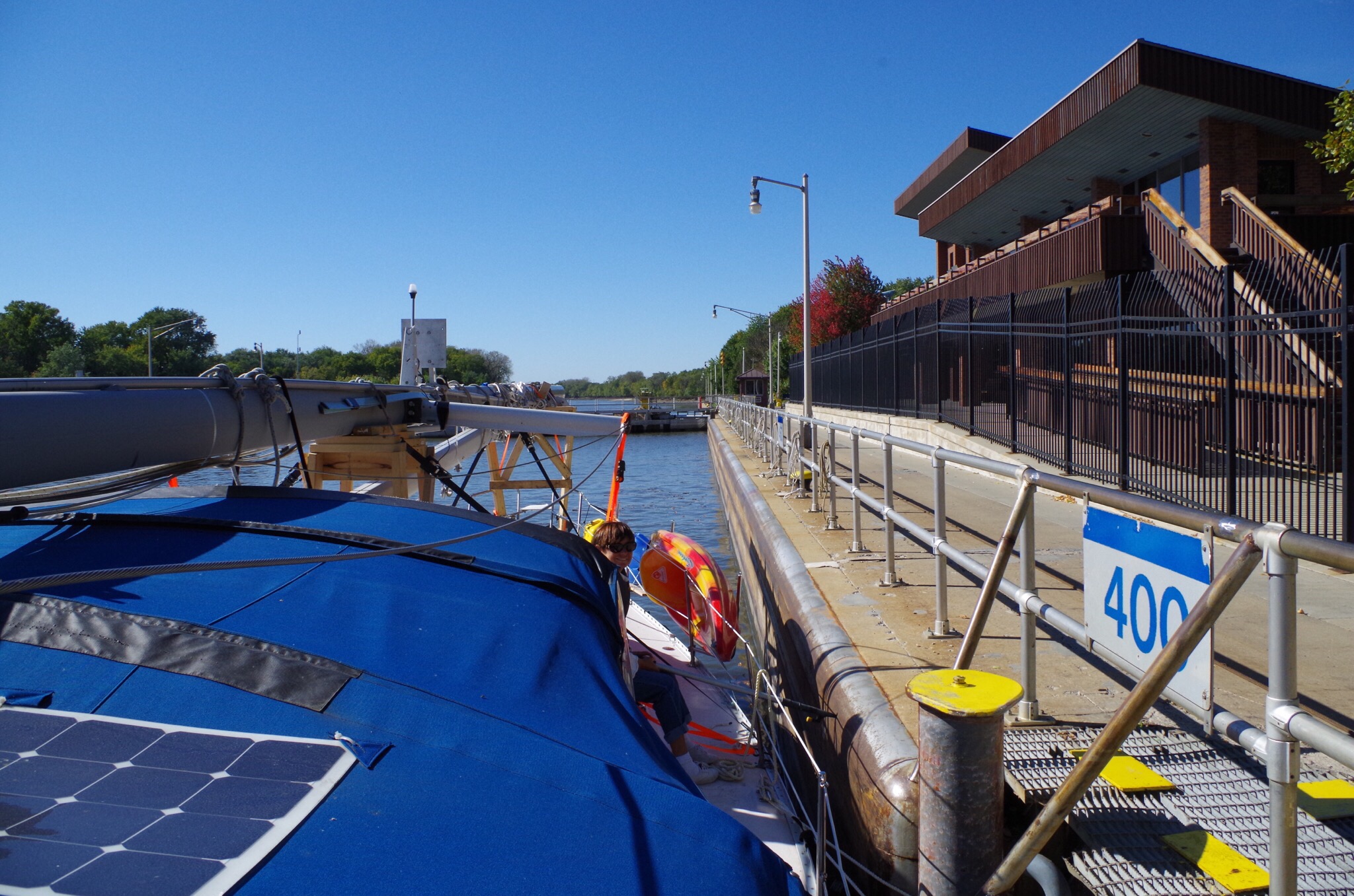
Here is the lock after we were down. The doors haven’t shut yet. They actually had two sets of locks here and we were in the smaller one. 


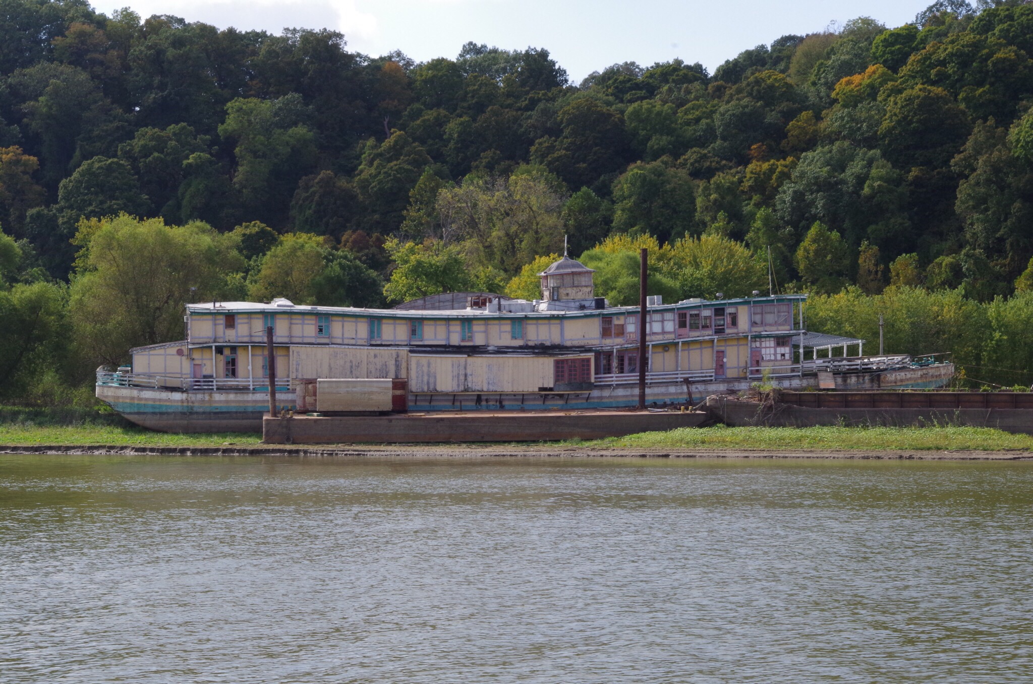
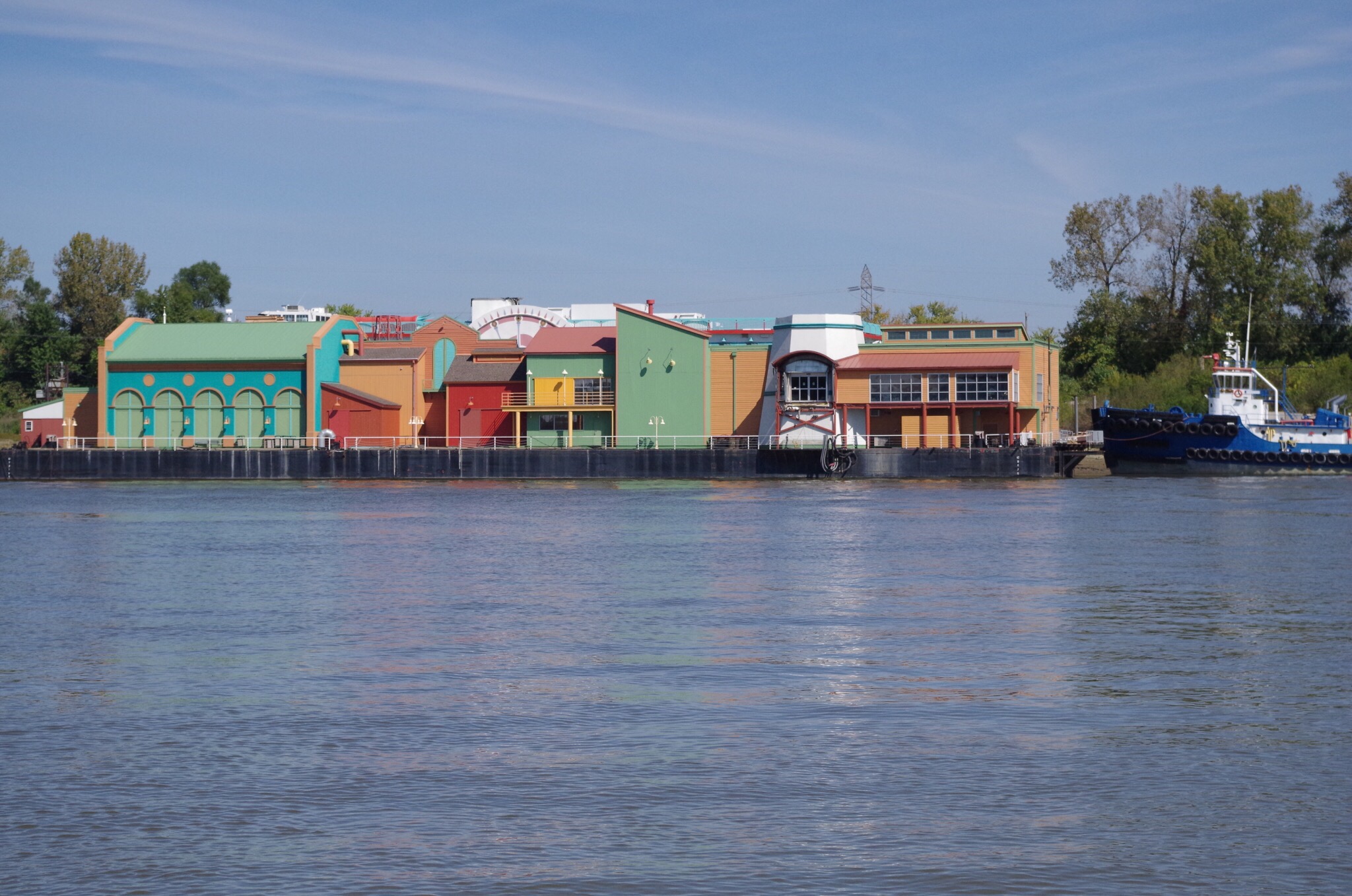
Here is a picture of a tow in a floating dry dock (green).  Apparently being repaired.


Cool pict of?


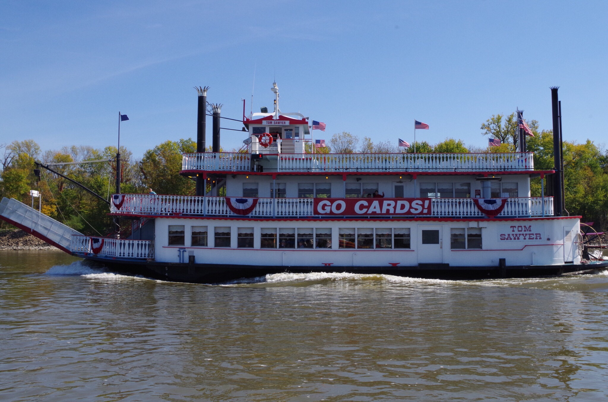
The Tom Sawyer paddle wheel. Bryce and I have pictures of this vessel at home. We took a ride on the Tom Sawyer about 10 years ago. 
   

Here is this huge sign pointing left that says “CANAL all boats ENTER HERE” that would be your port side (left). It looks like you should continue to your starboard side but that takes you to a dam! You really don’t want to follow that side of the river.


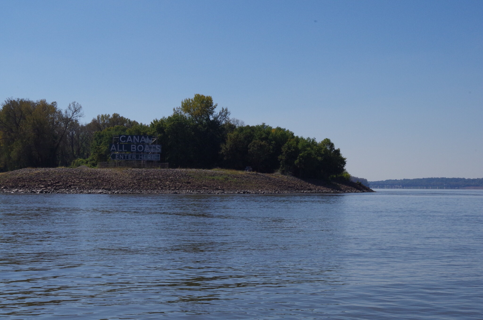
That sign is the start of  the Chain of Rocks Canal.


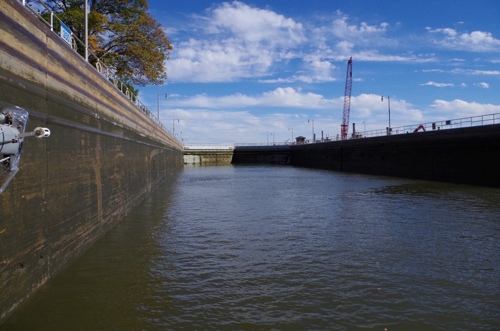
This is the Chain of Rocks Locks at Mile marker 185 after this lock you will really notice a huge difference in the current 3-4 miles an hour.  We are traveling darn near 10 miles an hour now… 


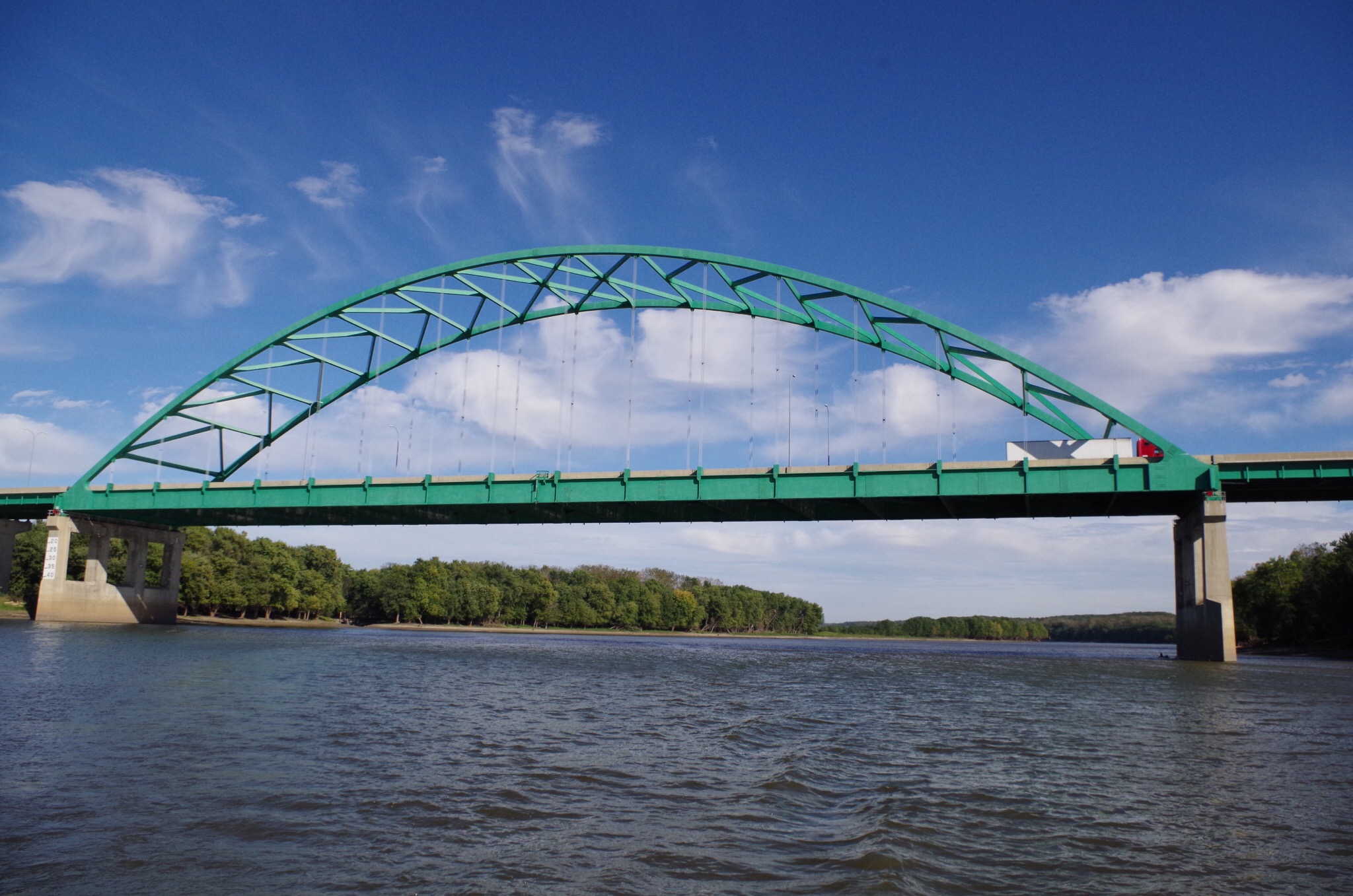
A short distance after the lock I started seeing 👀 bridges again.


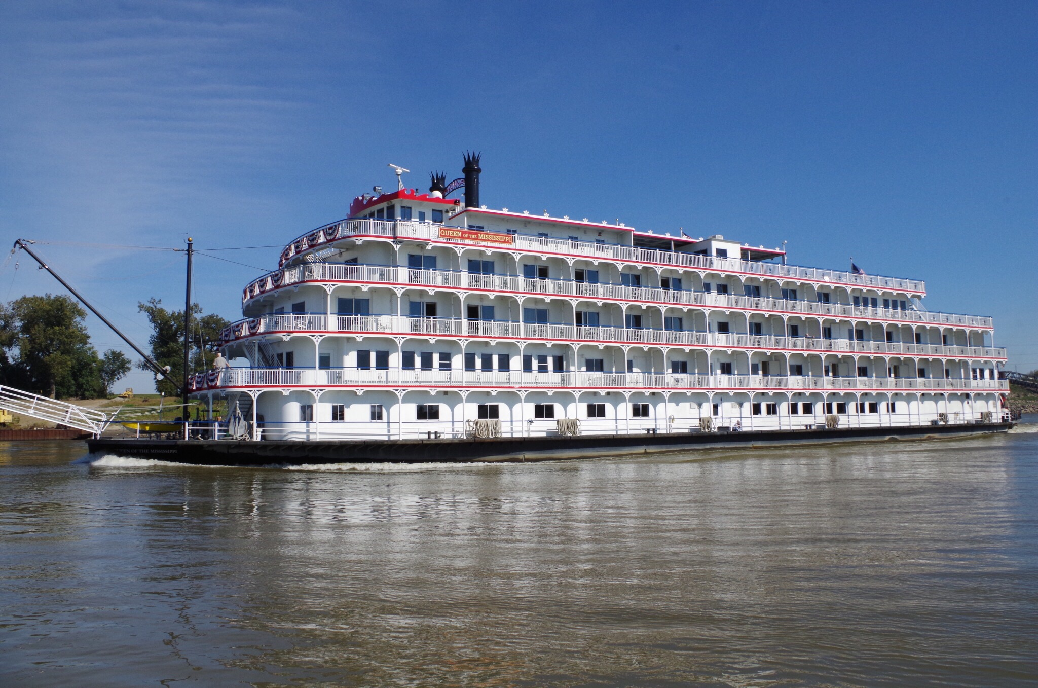
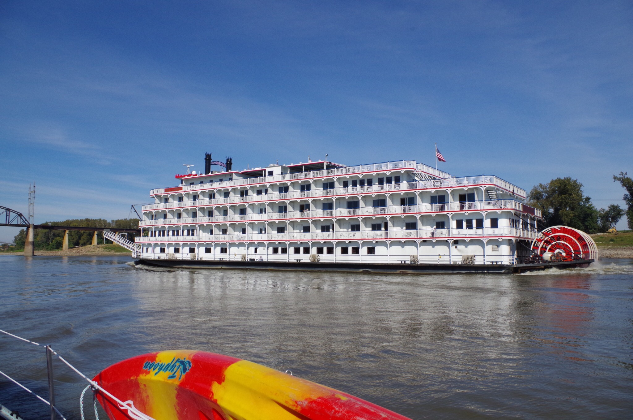
The “Queen of the Mississippi” she is so big! 


Love the paddle wheel.

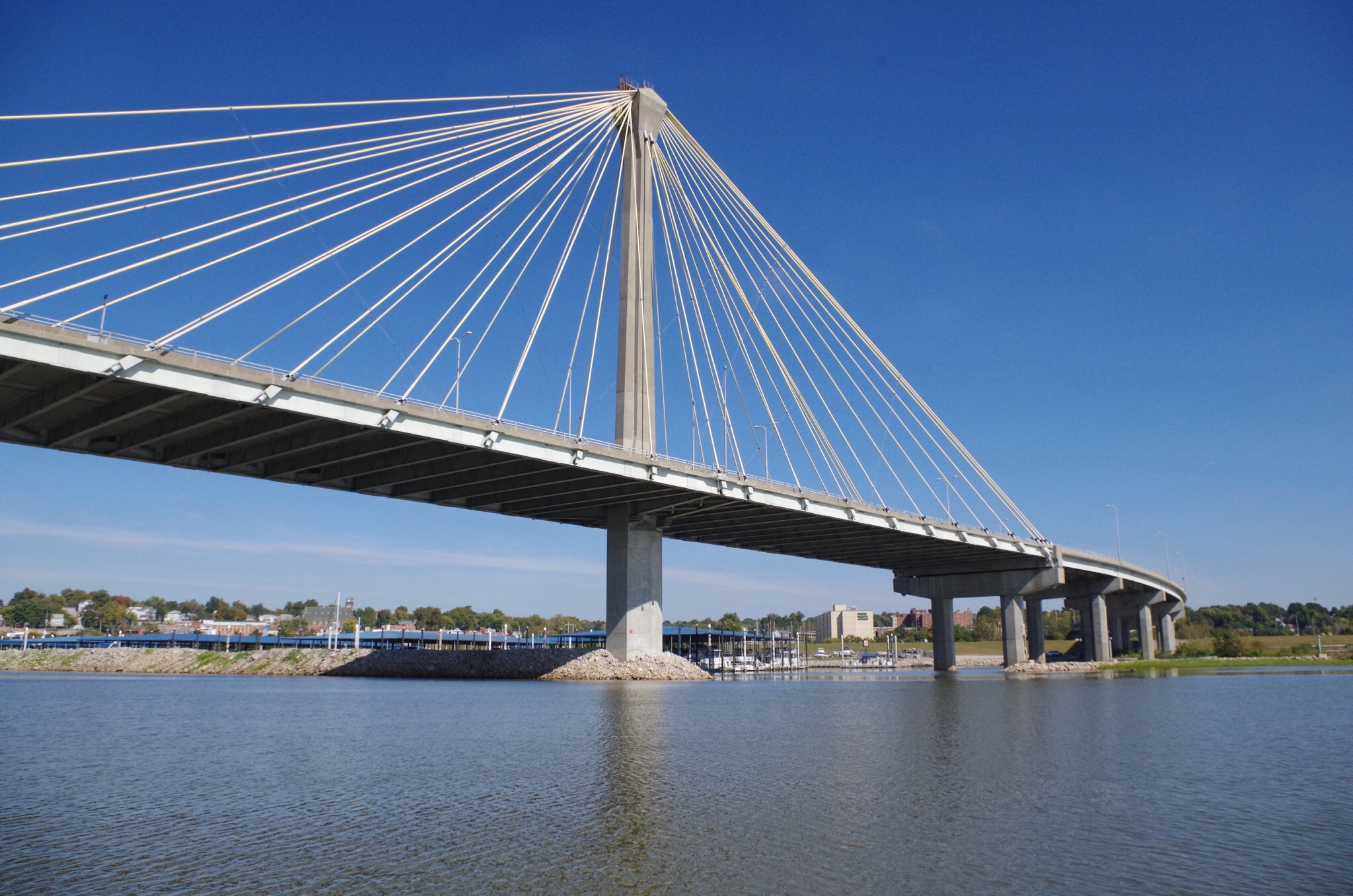
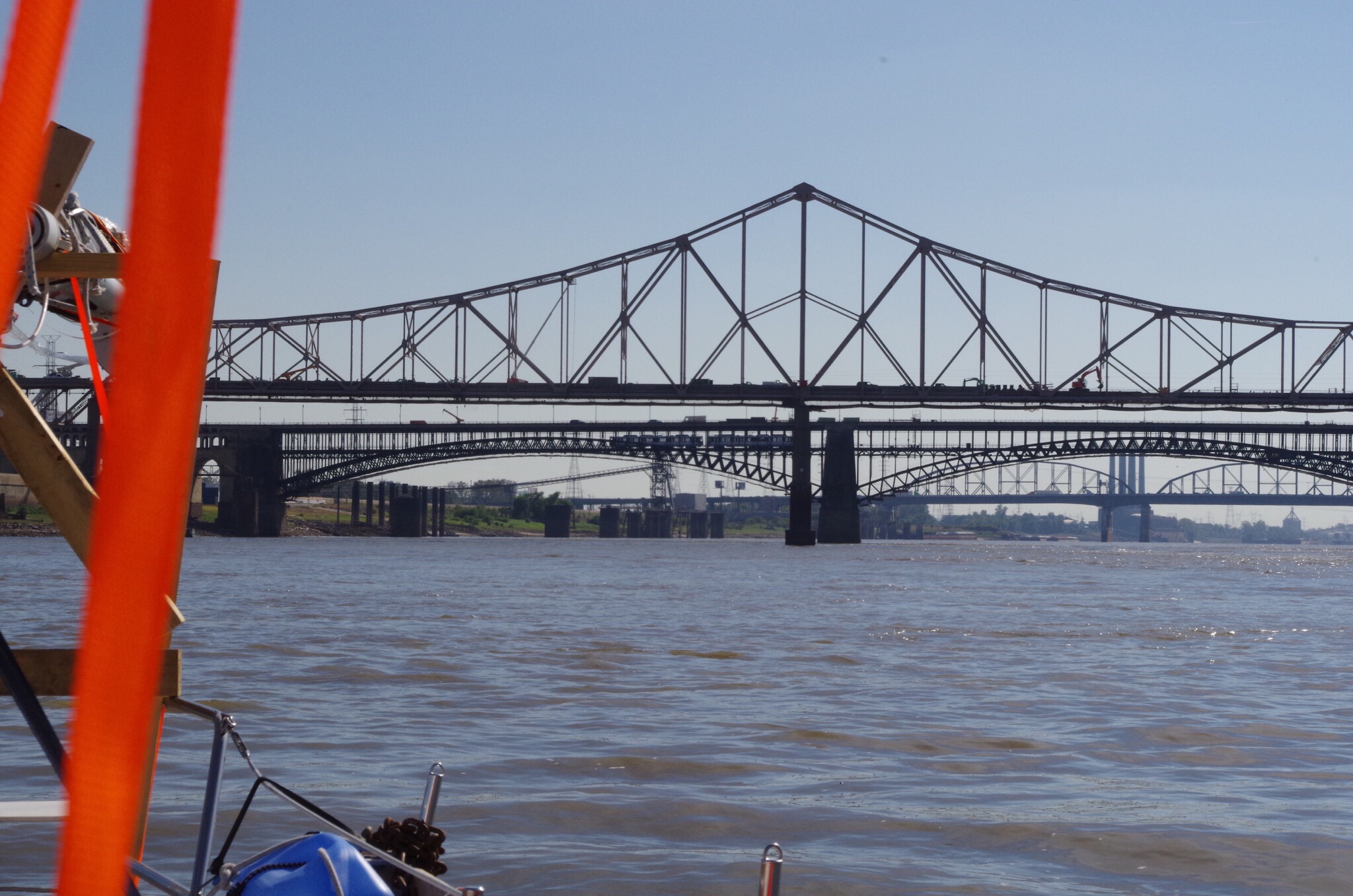
This is why the mast is down.. I think this is a pretty view of these bridges.
 

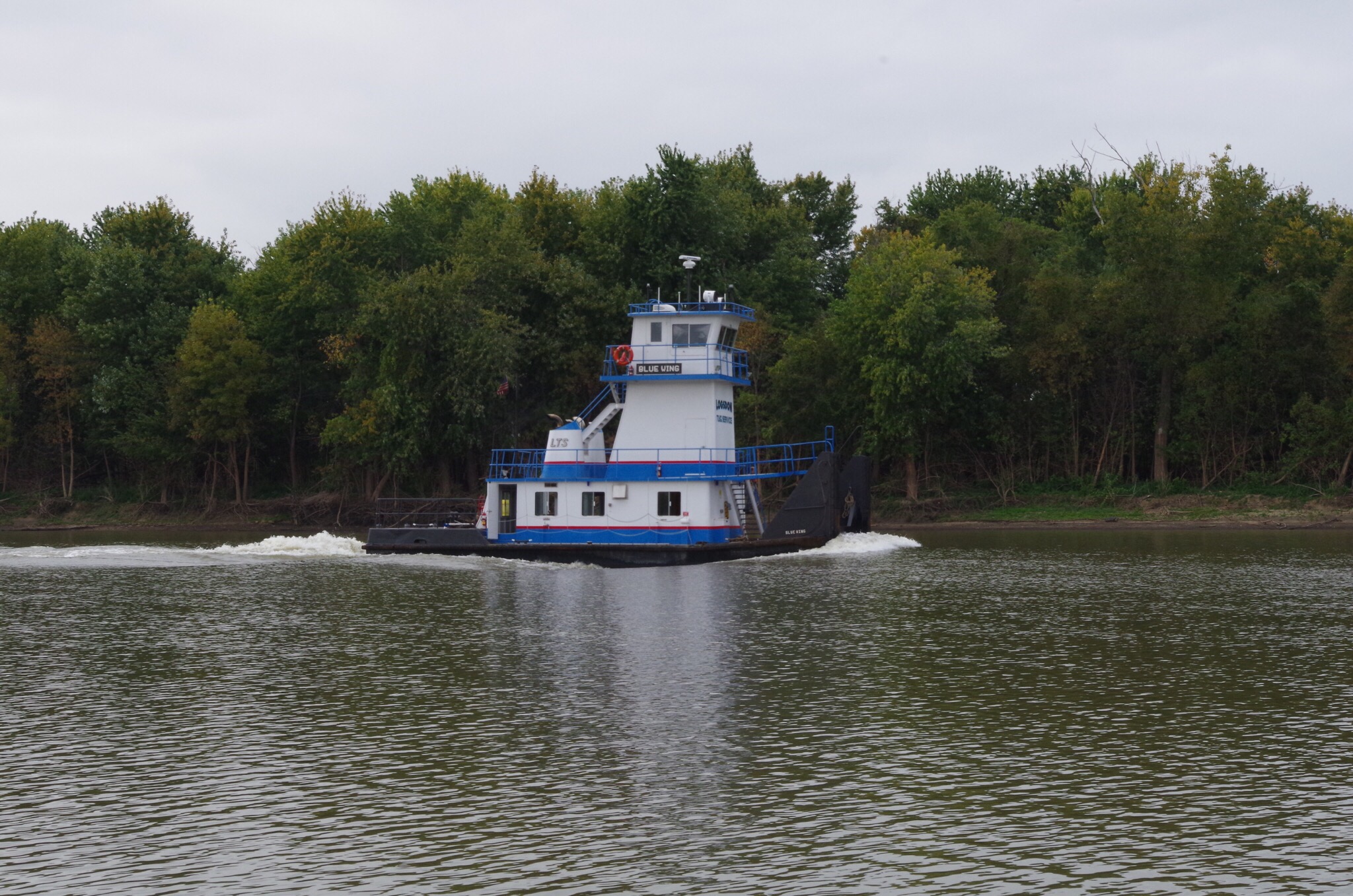
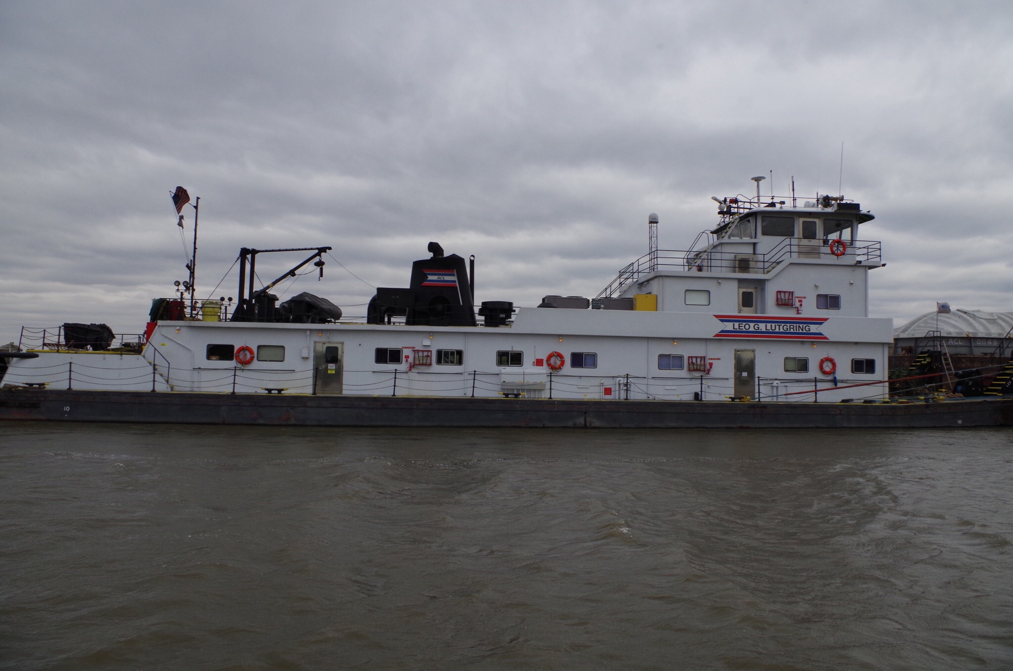
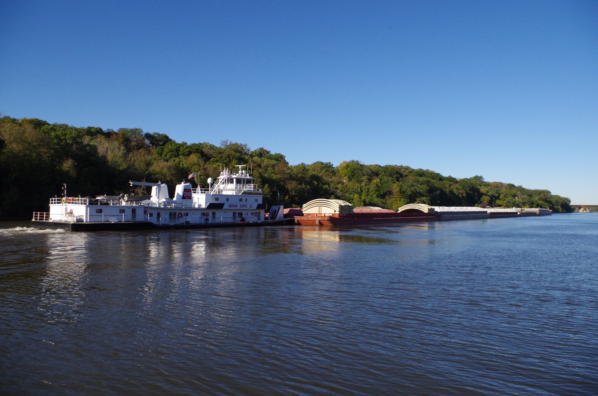
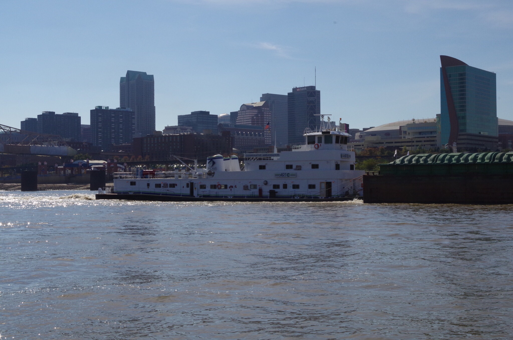
This is the Coorperative Ambassador pushing her barges through St. Louis MO 


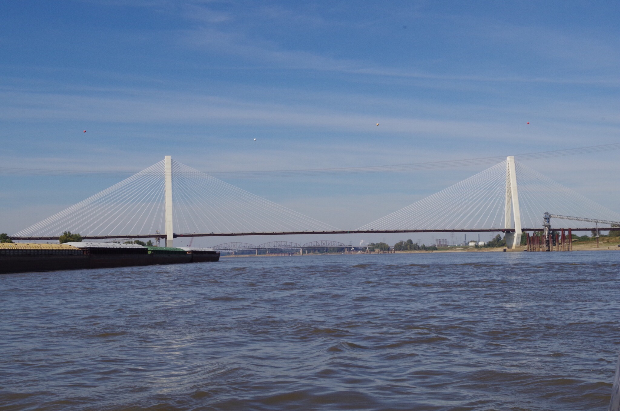
This is a suspension bridge as we are motoring down the waterfront of St. Louis 


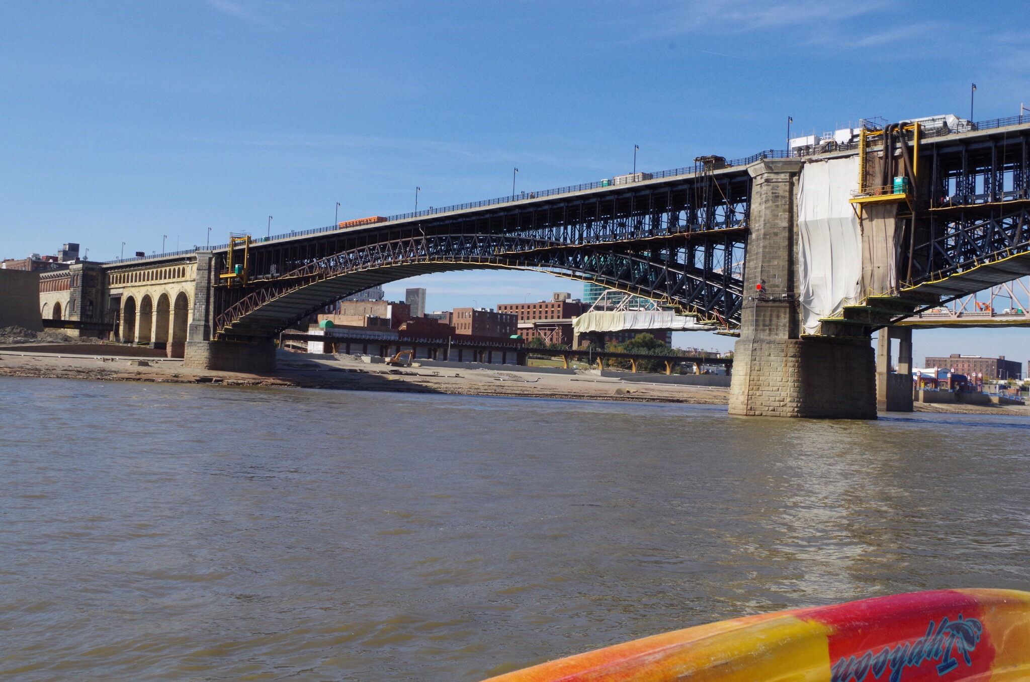
I think this old bridge has character; looks neat.  
  

Finally the St. Louis Arch. If only they would develop their waterfront for boaters… how about a marina? ⚓️⛵️


I heard this weird sound and when I looked up I saw a train.


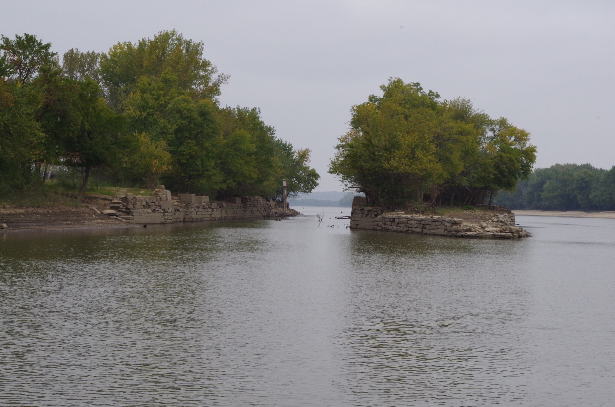
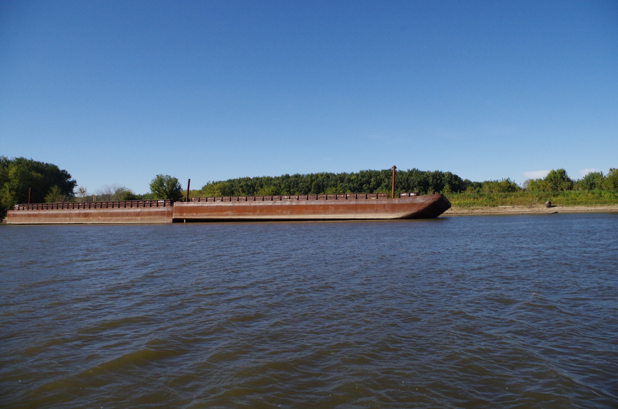
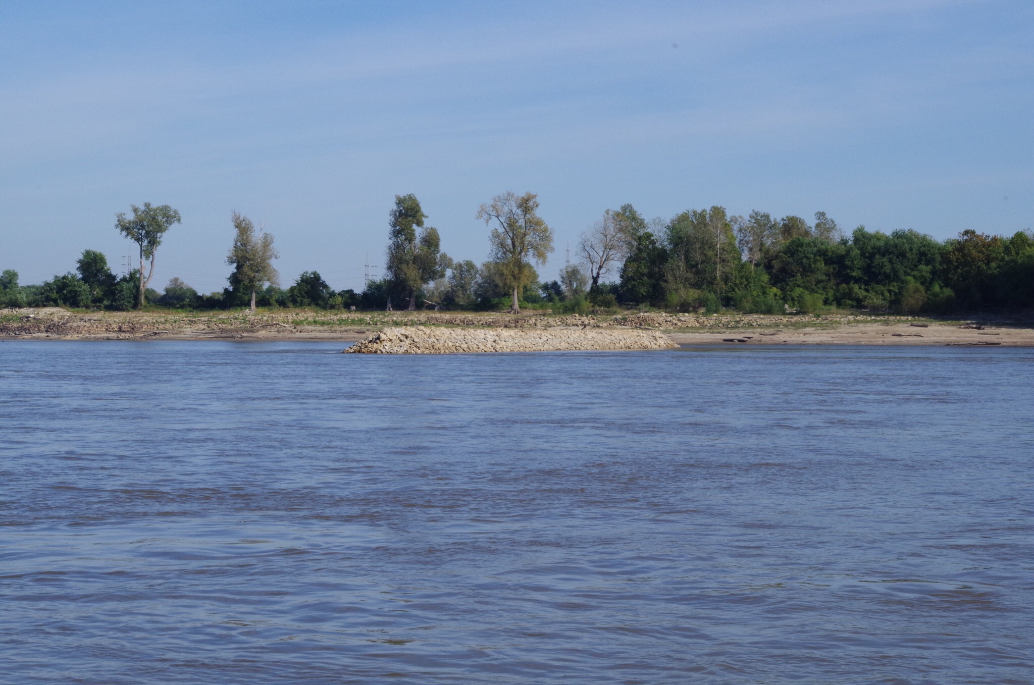
This is one of the groins I was telling you about in my opening  paragraph. They are all up & down the river. Although they are easy to see.  And they do not protrude into the “sailing line”.


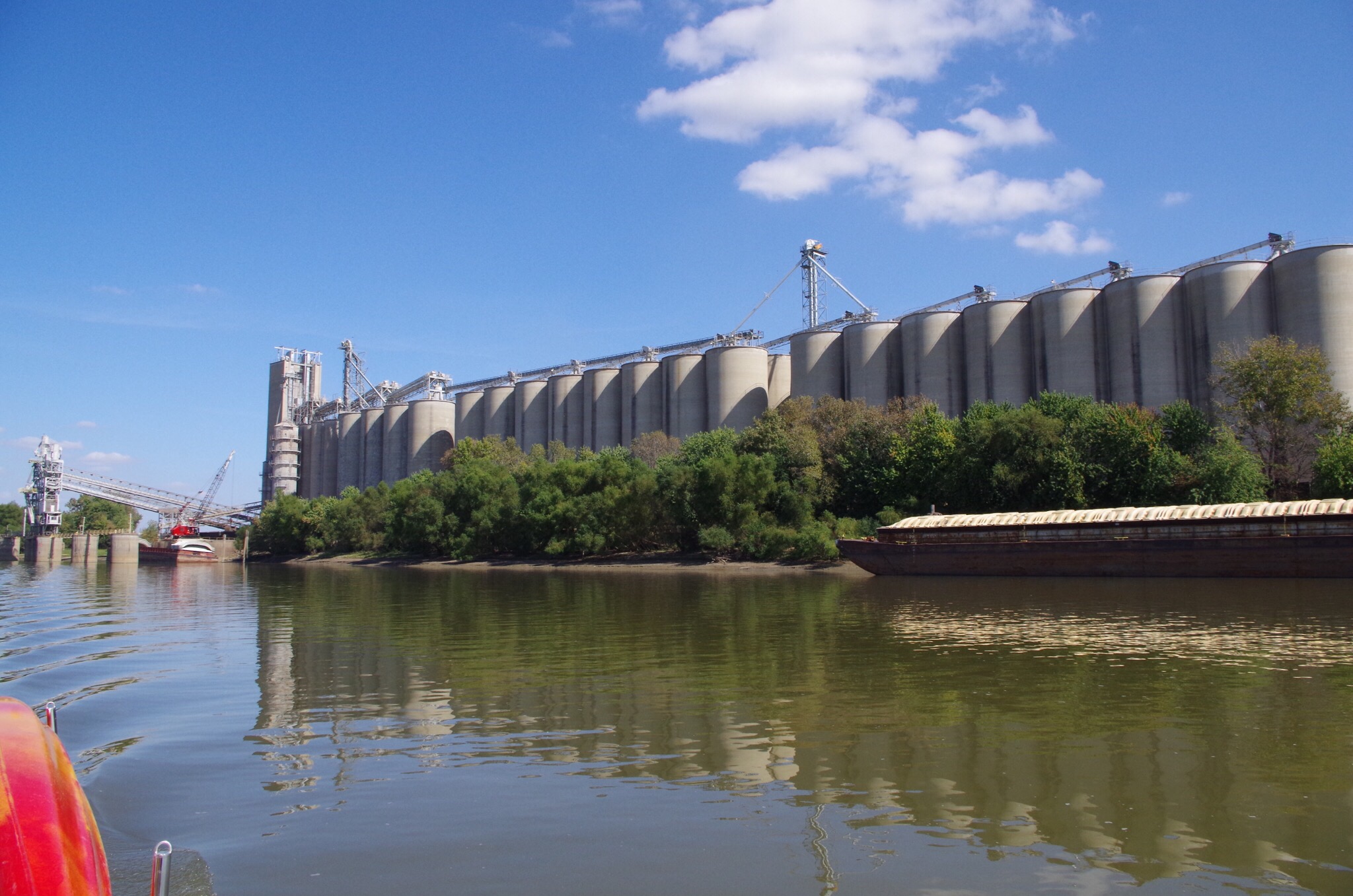
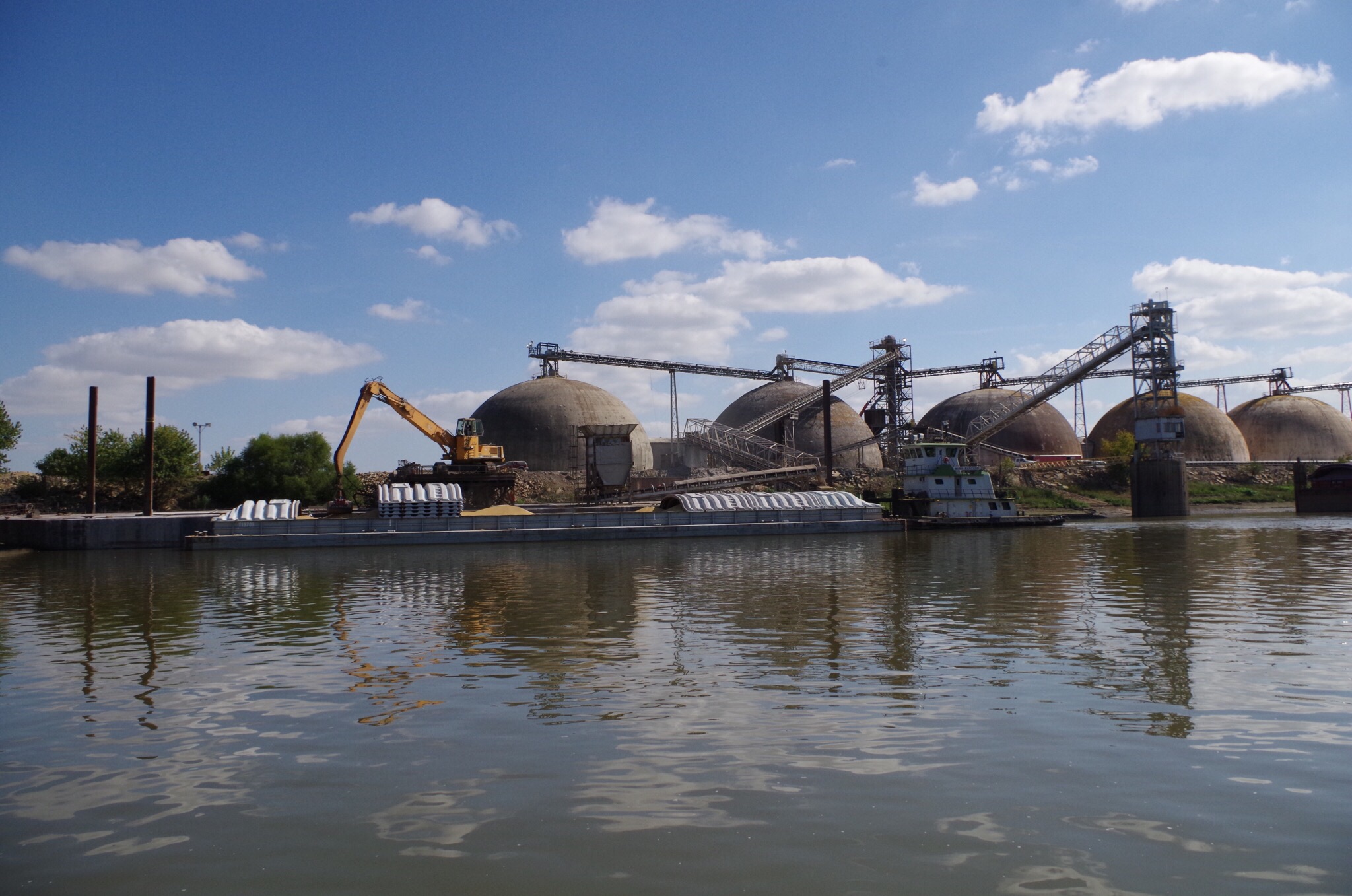
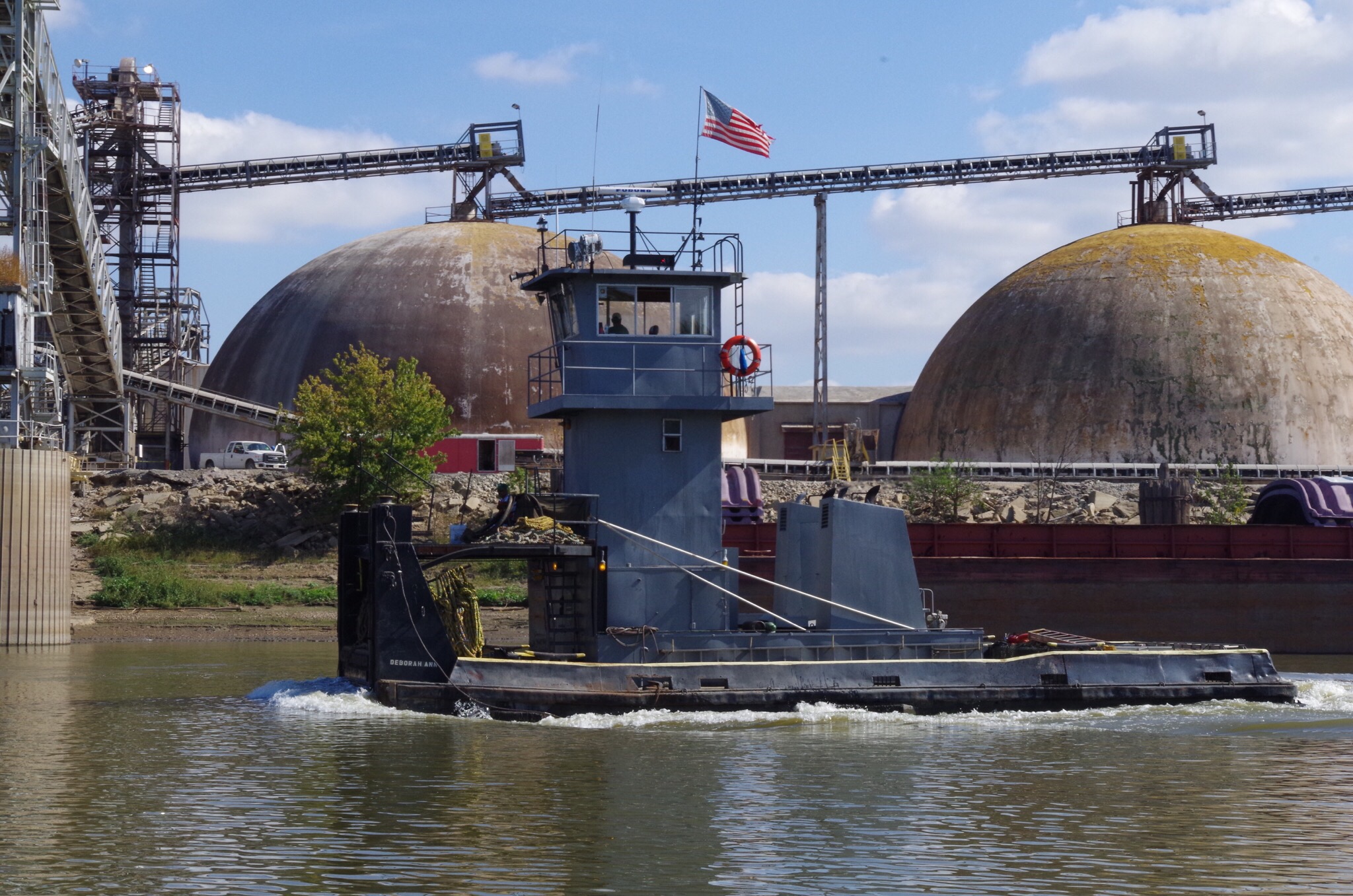
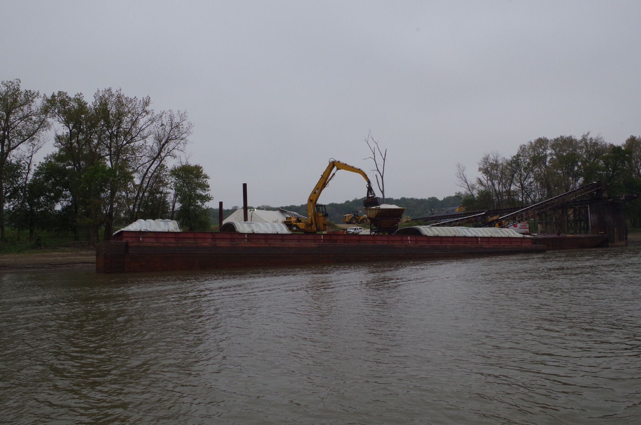
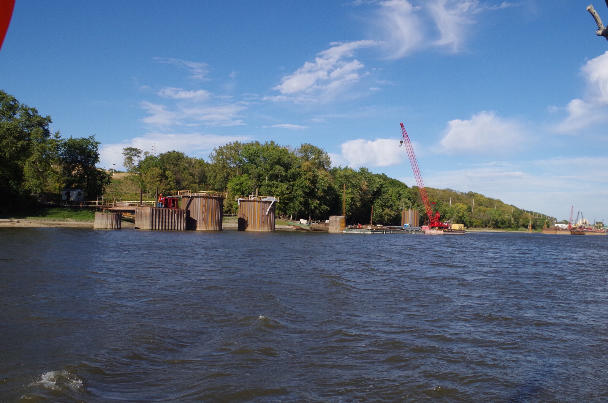
They are dredging the Mississippi just past St. Louis I think it looks like hotdogs linked together. 


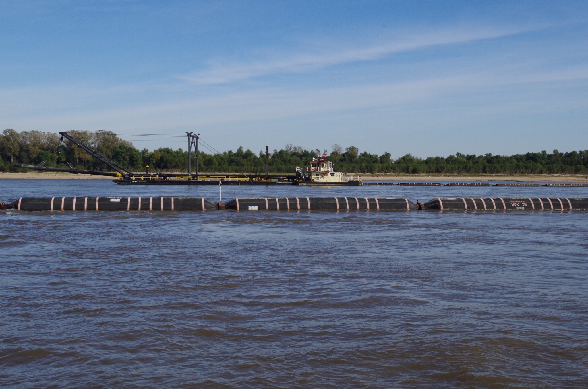
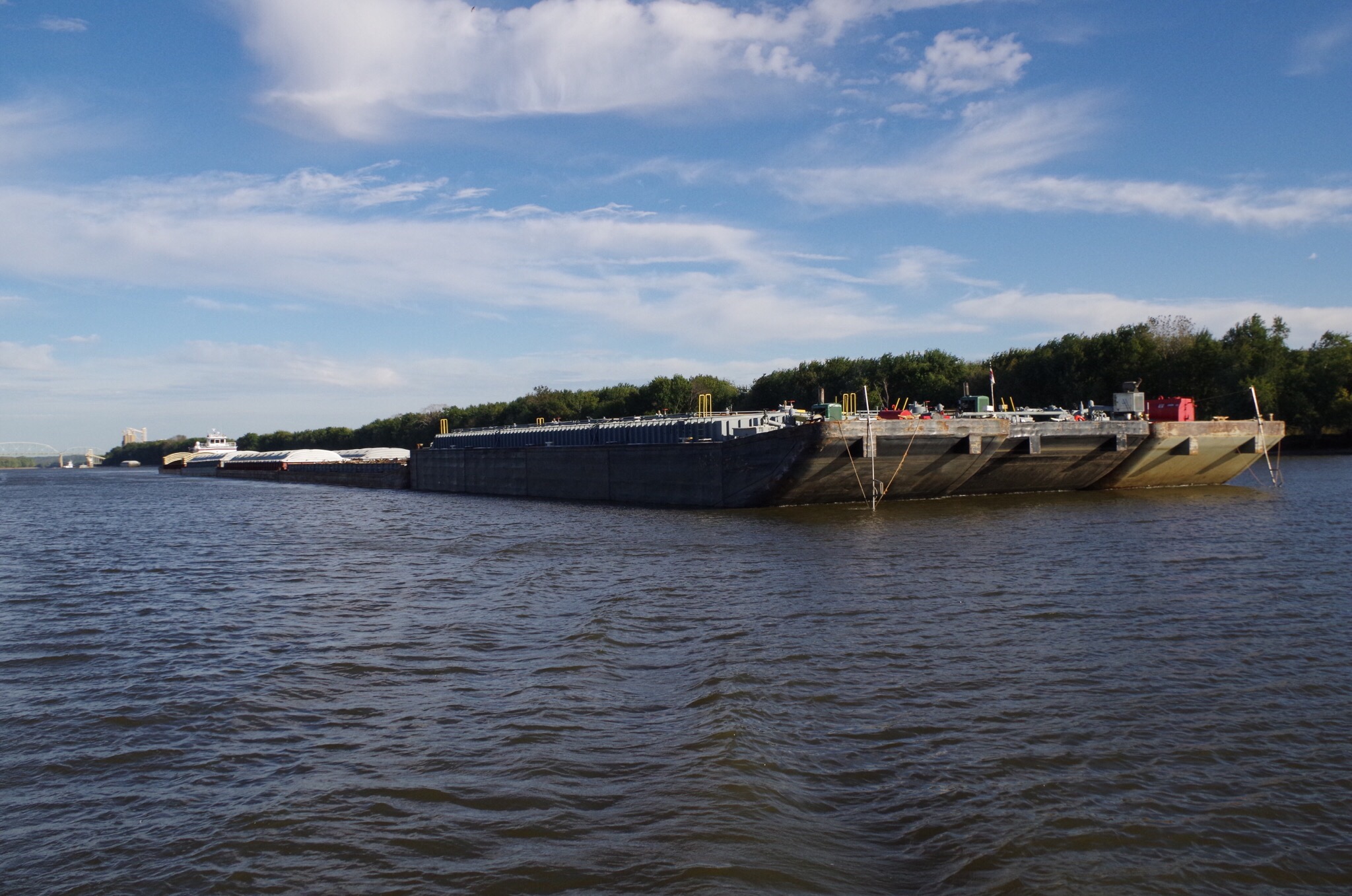
Each one of these boats have sausage links tied between them; don’t go between the boats.
  

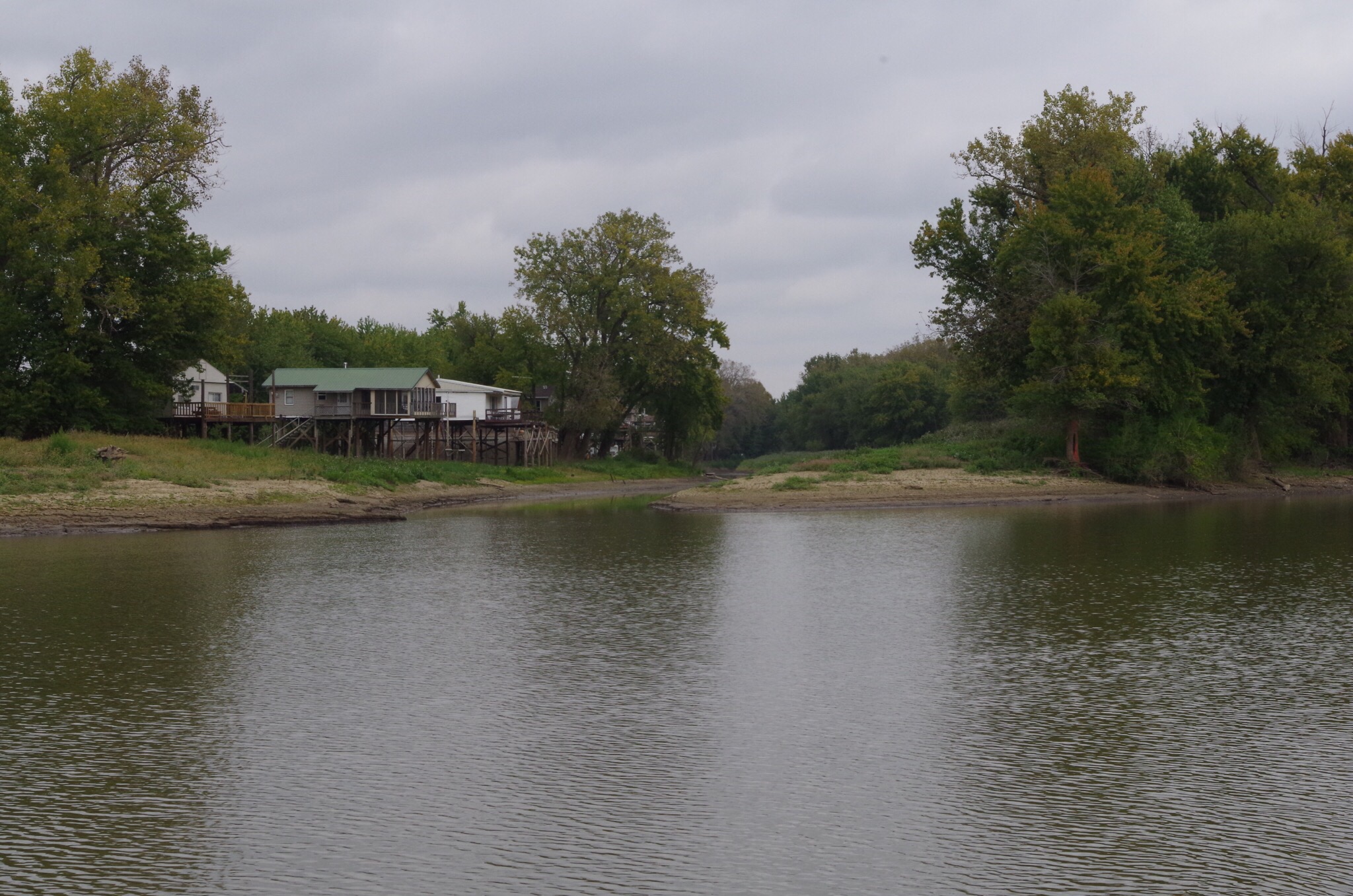
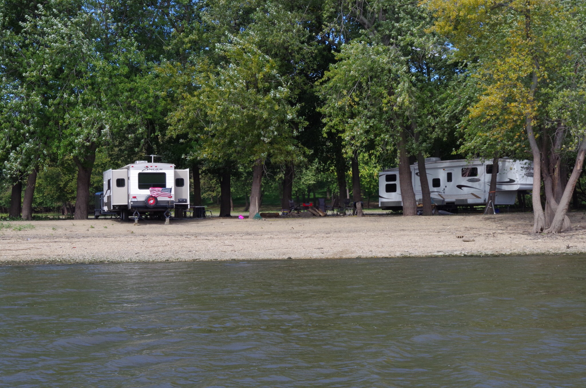
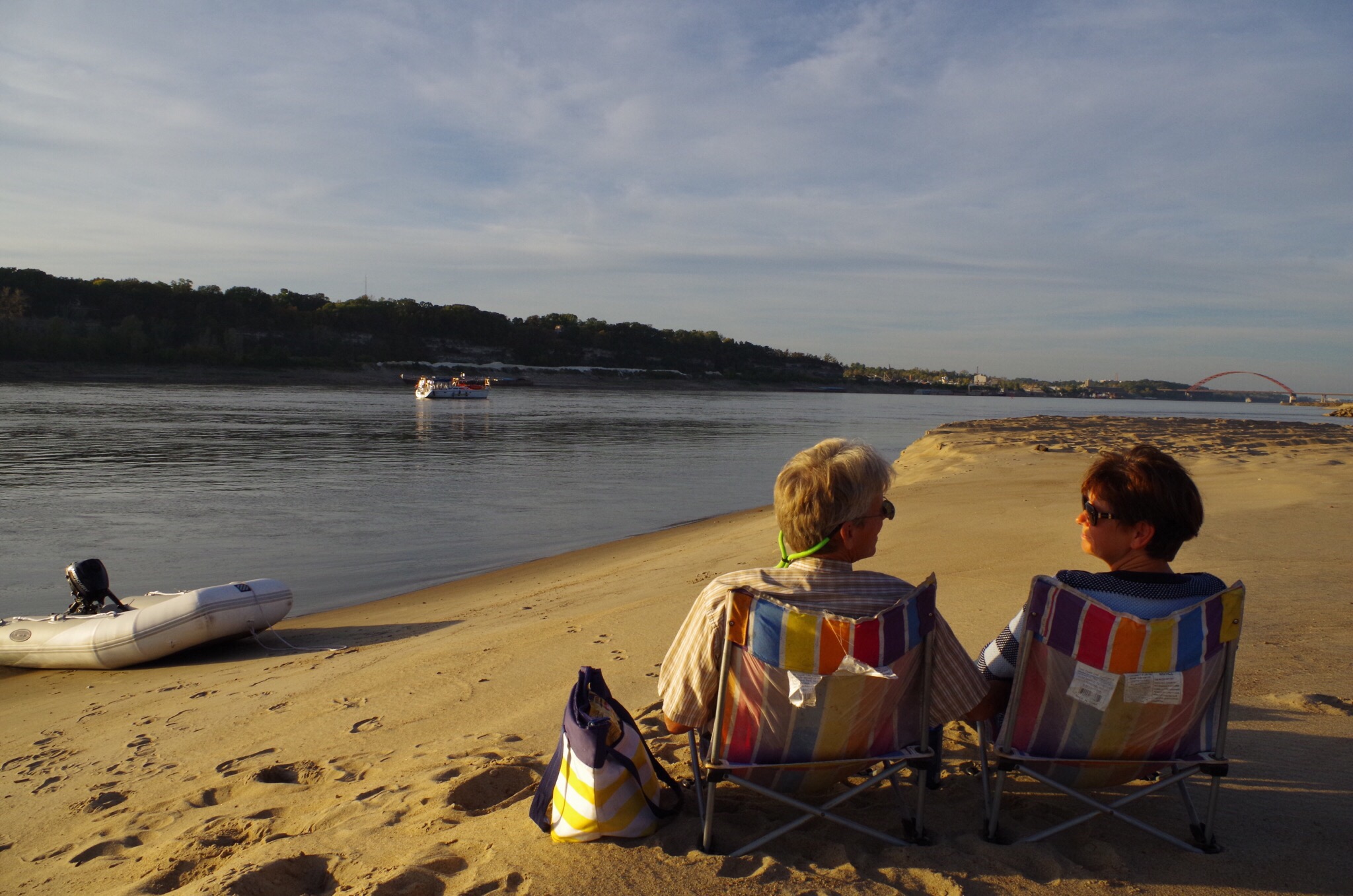
In between many of the groins you’ll find nice warm sandy beaches. We always try to anchor on the shore side of the buoys staying out of the way of other vessels. We are anchored with a 1 1/2 mile an hour current (near shore). We used the dingy to go a shore because of the current. I don’t think I would of been able to get back on the boat if I used my kayak.

  
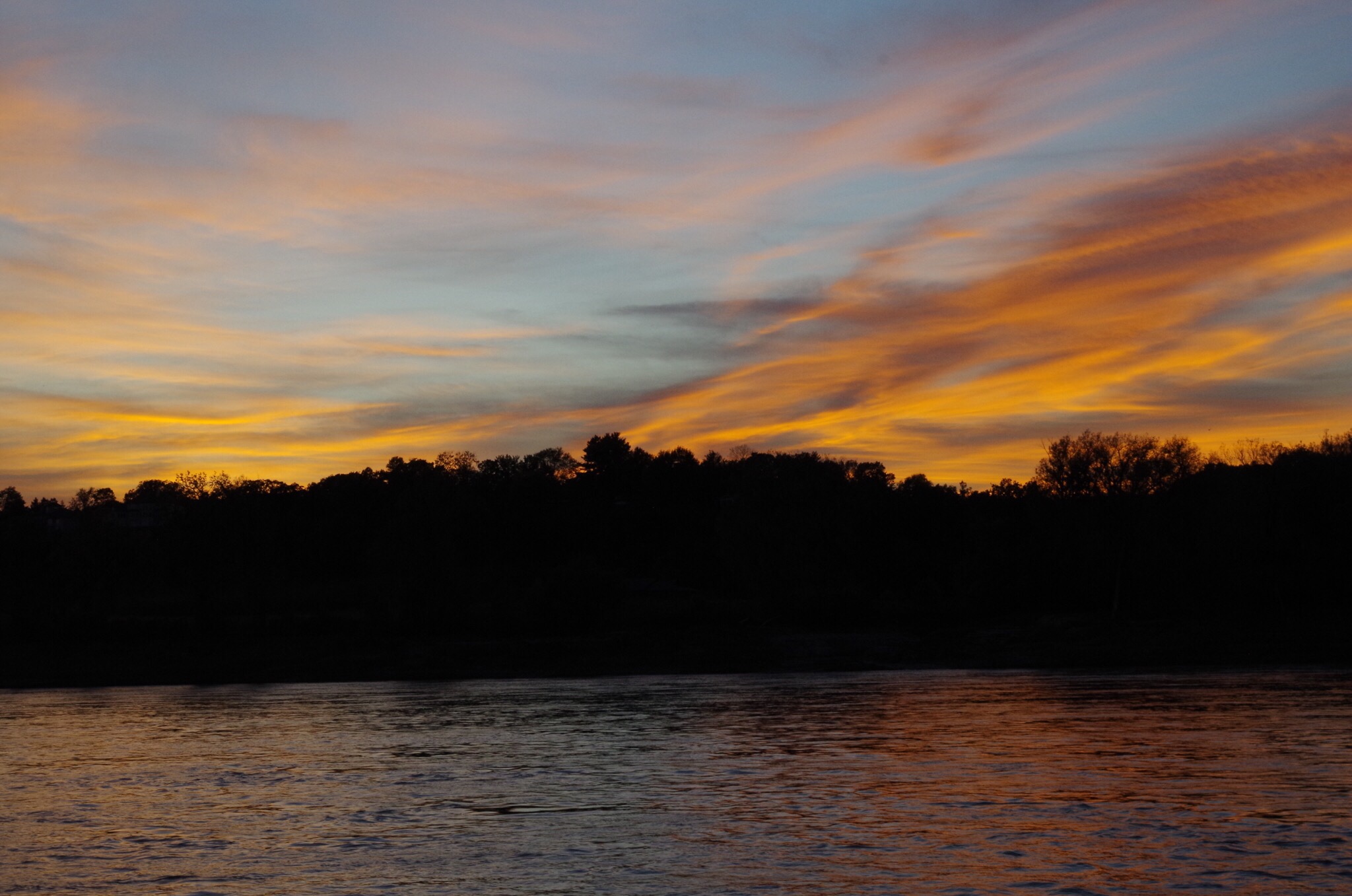
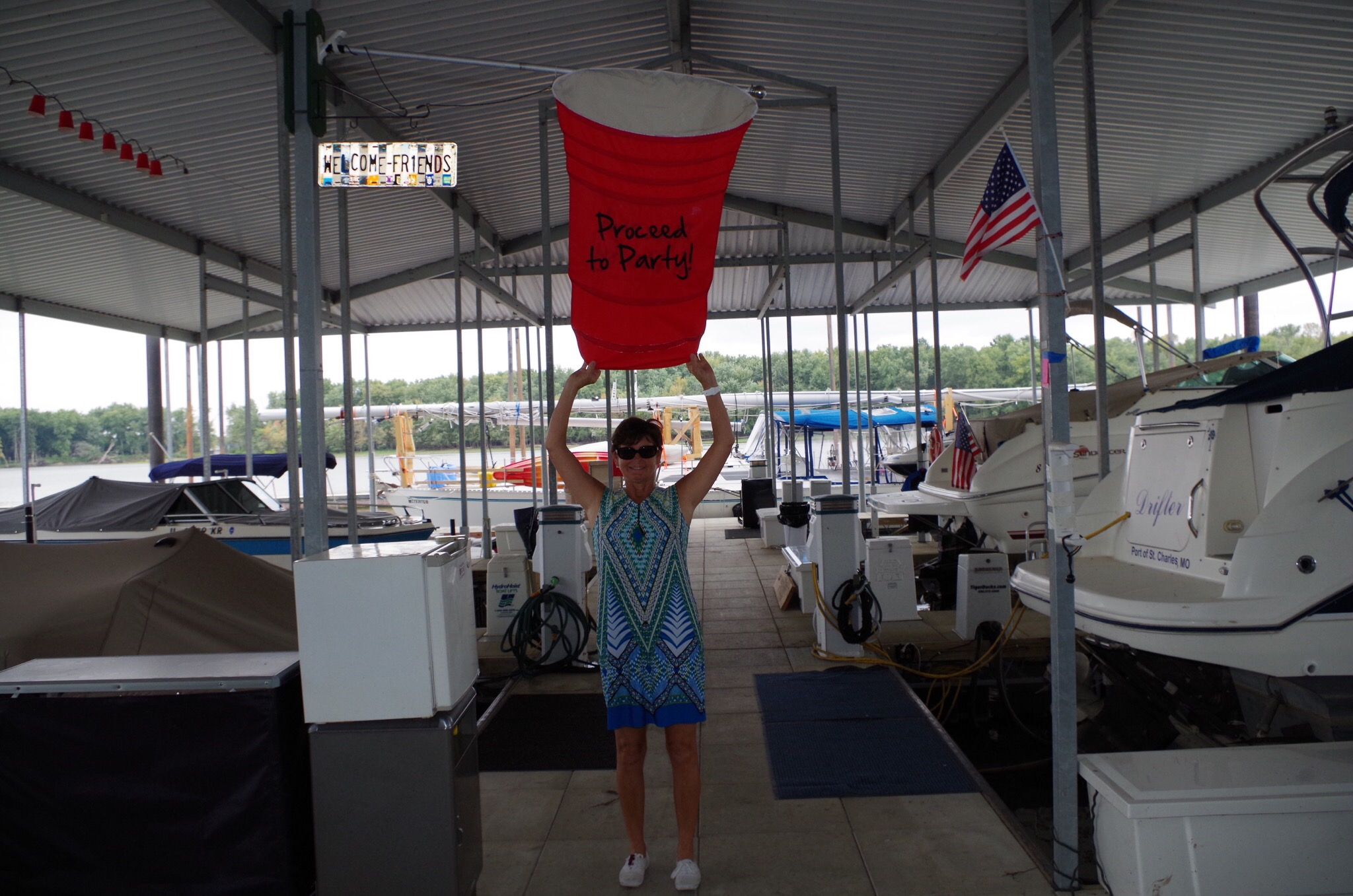
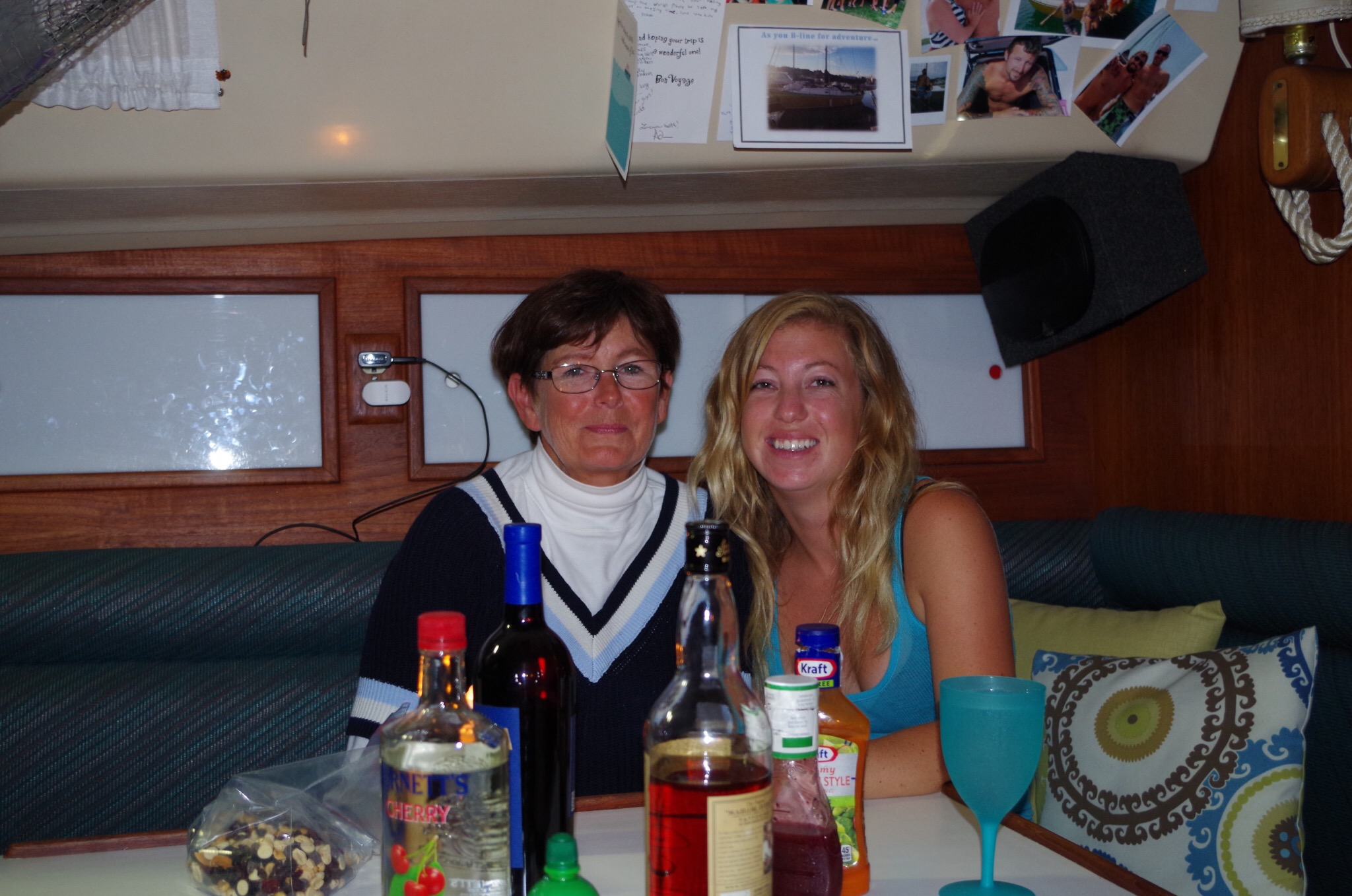
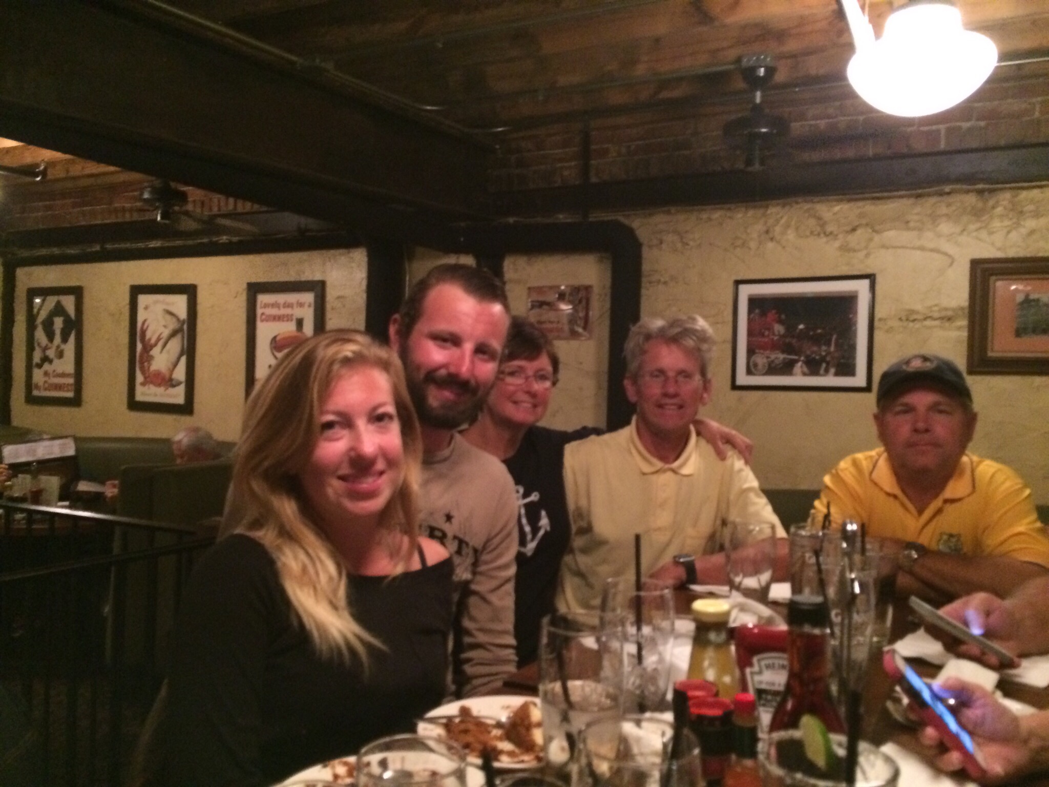
Sharing a beautiful night  with the person you love is just a great night! Much better than tied up at a dock.

  
Good night from the Mississippi River.


Mississippi River meets Illinois river

Our stay here in Grafton was short but delightful… We didn’t get to see a lot but what we did see was awesome. The Grafton Marina attendants were so helpful right from the start. We pulled in with a 7 foot depth that was perfect. They also loaned us their courtesy van to go to Waltmart grocery shopping. We had to put 15 dollars in the gas tank but we felt that it was well worth it. After 3 hours of dealing with groceries and another few hours putting stuff away. I needed to do laundry. I love having a washer and dryer but it’s all in one and takes a day to catch up on everything. I finally went to sleep at 2 a.m. We really wanted to head down to Mel Price Locks is at mile marker 201 and the Chain of Rocks is at 185 I will continue this portion for the next post.  

This is Grafton and the Grafton Marina. They placed us along the side of the first covered boat slip.

 
We are tied up for the night. 

   
“The Big Kahuna” is the bar & grill above the marina store. We had an Illinois style supreme pizza. It was mighty delicious🍕🍕

 
We really like this sign. lol 

  
This mirror is neat too.


After lunch, we made it to the post office. Nancy was so nice she even called us early that morning to let us know Bryce’s package had arrived.

  
Our first car ferry on the Illinois River


Red solo cup… We love it!
   
Get ready….We see👀 the Mississippi River and where it meets the Illinois River.


As most of you know Bryce loves to buy me flowers aren’t they Beautiful 😍😍😍 


Headed to Grafton Illinois 

Only 14 miles to Grafton.👏🏼👏🏼👏🏼 Mississippi here we come. We are using Waterways guide books for reference and every time it says the depth at a marina there is a conflict in measurement. Grafton is supposed to be 9 feet. I called the marina the man said 7 feet. Oh well, it’s just one of those things you have to adjust to and whether or not you are cursing in the Spring or Fall. I am sitting here in the cockpit looking around as Beauty slowly moves with the breeze and sipping my morning coffee☕️. You really haven’t heard me say one of the 4 letter words so I’ll say it…. There is a 10% chance of RAIN ☔️ today. The way the clouds are looking we will be in that 10%. Yesterday, was a beautiful day motoring across the river high 84 with sunshine☀️. However, looking so forward to getting our sails back up.  I know it still going to be a while, but the closer we get to Mobile Alabama the sooner she will get put back together. ⛵️

Okay, it’s photo time from the Illinois River from mile marker 48 to mile 12.5 FYI: if you are motoring from Calumet or Chicago along your travels you will notice little white signs either in the tree lines or hanging on a buoy.  They do look like home address.  Your GPS should be able to confirm the mile marker. 

This is a photo that shows we are anchored between mile marker 11& 12 and we are being passed by a tow the little triangle named Joyce Hale. The e didn’t show up. The mile makers indicate the number of miles before the Mississippi and the Illinois rivers meet.


This is a real photo of Joyce Hale 
 

I just wanted to show you one more picture of a mile marker hanging on a buoy, however you will normally see them in the tree lines.  It is mile marker 19


OM! Wouldn’t this make for a cool murder mystery on Halloween 🎃


  We passed a small town call Hardin on the river. Maybe they a getting reading for a remaking of a special event. 
 

We are starting to see a few cliffs along this river. Our view is starting to change.  
  

I think you can tell my this photo the river has widen a bit. We are passing by The City of Redwood  Tow.
 

 Leaving the LaGrange Locks down the Illinois River

Soon the time will come and I will no longer be saying the Illinois River. We should be in Grafton Illinois tomorrow around 50 miles from here. We had a great day yesterday but in certain areas it was busy with tows. If you are into anchoring you are sure to find some great spots after the LaGrange locks on the Illinois. This first photo is taken shortly after we anchored just past the lock. Bryce sat on the bow watching the huge tows push the barges in. This tow couldn’t get all the barges in at one time. So it had to go through in pieces.  I wonder how they get the barges out without the help of its tow?  Something pulls them through.  These locks did not have a tractor like the monster locks.


OM! As we pulled up anchor and started to motor down the river we started seeing Illinois river sand dunes.😅😅😅😅😅

 
Look👀👀 at this the little tow it is pushing barges in to the bigger tow to lock them into place…so cute!

   
This is a barge loader. I know you might be tired of seeing this kind of photo but it is cool.

 
Ok, we were having a debate…is this a restaurant or something else. They sure don’t  advertise if they want business on the riverside    


I read in the waterway guide that 30% of the world’s grain passes through the Mel Price Lock. 

 
This looks like a grain being loaded🍞🍻

   
Isn’t this the cutest baby tow you’ve ever seen? Lol it’s looking for a barge to push.

 
Two sweethearts fishing together 😘💨

  
This is a 15 barge tow passing us as we take the kayaks off the boat.

 
 Look I cannot believe I acually see cows. Boy they are in a perfect spot for water.
  
Okay this is goodnight we went for a kayak ride. It was just fabulous 🙋🏻🌸


A Flash Back of Our Route and Going Forward 

We thought some of you might want to see where we have been. All of the red dots are way points where we have either anchored ⚓️ or  docked. We are really happy that we chose this route. Despite all the rumors of low water we decided to take the challenge and go for it. We started in Lake St. Clair, headed to Lake Huron, Lake Michigan to the Calumet River, Sag, Illinois River where we are now. On the average the water depth is 14 feet. However, getting into a marina on these rivers has not been a great success. We do call ahead to see what the water depth is and it’s always too shallow to take Beauty in. Bryce takes the dinghy into the marinas get diesel or water. We enjoy anchoring, so for us it’s no big deal not to get a slip it also saves on money. We need 6 feet to be comfortable and norally it’s 4 feet in the marinas? In Joliet and Ottawa they had city docks that we could use and they were free. This coming week we are planing on getting a slip in Grafton Illinois. I am going to do some heavy duty grocery shopping.  We have gone about 1200 miles: 900 in the Great Lakes and about 300 in the Illinois waterways. 

 
We will be entering the Mississippi River in a few days.. About 50 miles.. Grafton is where the Illinois River, Missouri River and Mississippi River meet. Now, I have read that the three rivers flows quite heavy going through a Chain of Rock Canals and then past the Gateway Arch in St. Louis. This trip is getting even more exciting. We only have two locks on the Mississippi the Melvin Price and the Chain of Rocks then the Ohio River.

We just want to thank each and everyone of you who take time out of your own busy schedule to read our blog. 

THANK-YOU 

Lagrange lock, last lock in Illinois River 

Who would think that motoring down the river one could see so such evidence of the spring floods. I have always heard that certain areas along the Mississippi flooded but I didn’t know areas on the Illinois River did. The tree line has been amazing most of our trip because you can see the even grooming that has been done by Mother Nature.  If you closely at the tree line it looks like some one trimmed all the trees to be perfectly level at the bottom branches. 

 
Yesterday, while looking around we noticed this house or should I say what is left of a house. The water has actually gotten high enough to destroy it even on stilts. 

   
These homes look a little higher on the canal side. But the water depth is low right now.

 
We passed this building and a woman is waving to us “looks like your having fun” I replied back to her telling her we most definitely are. Not realizing until I downloaded photos that it was a store. Now, had they had a sign up that we could see we might have stopped. I thought that was a house for sale.  


The twisty turning river. 

 
This barge is being loaded.  

  
This tow is headed for its barge. I think it’s cute.

 
We made it to the La Grange lock & dam our final down bond lock on the Illinois River. 110 x 600 feet. We only dropped 8 feet this too was a single chamber lock.  We anchored just a short distance below the lock in about 11 feet of water.

   
B-Line owners Chris & Stephanie going with us through the locks.

 
We had dinner with Chris & Stephanie shortly after we docked for the night.  


Bryce, Jane and Stephanie, Chris. Chris made a delicious pork roast and grilled potatoes and I contributed the salad and carrots.


Leaving Peoria to Anchor just past Havana

Continuing on our journey from Peoria proved to be interesting. We decided to tag team up with Chris and Stephanie. They too are motoring through the rivers with their sailboat. The view just continues to amaze me. Our lock for the day was called the Peoria lock. We only went down 7 feet to meet the next river. The lock was again 110 x  600 at mile 157.6 but this time they had us hold their lines instead of ours. We didn’t tie the line to the boat we had to hold on to it as we dropped down. It wasn’t all that bad, but our winds have dissipated. 

This is a plant on the river banks of Peoria 

  
It’s around 7:20 am dock master wants us at the locks by 8:00 am so we were able to get a great view of plant.

 
Just me (Jane) holding onto the line that they provided for us.

 
Workers loading a barge. It looks like they are loading salt. 

  
Another plant love the tall towers. Looks like power plant.

 
Storage for coal or coal waiting to be loaded? 


Barges being loaded and waiting for their tow to push them away to the new destination.


It’s a shame to think people don’t care about our rivers and they leave stuff here to rust away.

 
We found an old lock probably from the 1800’s the dam is gone of course too. You can still see the lock wall.

This direction you can see the whole outline of the lock. I think it’s pretty cool. The water is still 10 feet near this lock. It would make for great anchorage.   
 
Unfortunately our friends wanted to tie up to the city wall in Havana. Chris called ahead and spoke with a person in concern of the water depth. They reported 6 feet 11 inches. As he found out they really didn’t know what they were talking about. As they approached the wall they hit bottom. Come to find out it was only 5 feet. It took a bit but he was able to break loose. They followed us to an anchorage place.
   
This is where we anchored. What a beautiful view. Chris and Stephanie were able to take Dozer their black lab for a walk.

 
We watched barges go by.  It was another big one. 


This is the tow. She reminds me of a houseboat.  

 
During the night as you are trying to sleep they shine there spotlights on your boat so they don’t hit us.  They typically have two huge lights shining towards the front and often side lights like this siding towards the banks.


Peoria Illinois 

What an amazing night! As the wind blew across are bow in search for an anchorage spot, we noticed a marina. It’s Detwiller Municipal Marina. Unfortunately, we were told the depth was only 4feet. The manager of the marina suggested we go under the I74 bridge to the city docks and they would have free dockage for us for the night. It would be close to restaurants and shops. As we were pulling up to the wall to doc a man was standing there to help us. I couldn’t help but noticing the carp jumping out of the water. I looked over at the guy helping us when I realized it was Bill a gentleman who we had met a few days prior along with his wife Laura and their friends Greg & his wife Peggy. After we were safely docked up Bill was telling us they would be going out for dinner in a while and we are welcome to join them. Then we found out that another couple we met at the same time would be joining  us too Chris & Stephanie. We started our evening out with Bill & Greg at the John S Rhodell Berwery and joined the rest of the group at Kelleher’s Irish Pub & Eatery. It was a very nice dinner and walk with new friends. 

 
(Top) Greg, Bill, Laura, Peggy 

  
(Top) Greg, Bryce, Jane, Chris, Stephanie 

 
This is the floating docks where we are anchored. Joe’s Crab Shack is up on the waterfront park

  
Liberty Park just up the steps from where we are anchored

   
Bayou Gypsy is a cruiser. Pretty boat that belongs to Bill & Laura Borchert they have been cursing since 2012

 
It a good thing I loaded that cart on Beauty. I knew it would come in handy one day. There was no water hook up. Chris showed Bryce where to go for water it took several trips but she is full now. 

   
6 gallon cans and it took 8 trips. Look how dirty Beauty’s bow is getting from this water. I cannot wait to get into clean water to give her a bath.

 
I am standing up in Liberty park looking down at Beauty. 

  
Not only was there no water but we had to walk over the Bob Mickel Bridge to get Diesel and groceries from Walmart. Actually it was a nice walk. Just a small breeze today. 

 
After, we relaxed with a local brew.

  
We stopped in at the New Amsterdam Bar & Restaurant for a cool down and a light appetizer

 
B-Line 1975 Chris is really enjoying her. Chris & Stephanie are headed to Cuba.  Poor Stephanie isn’t feeling well so she is resting.  Hope you feel better soon. 

Hennepin Island to Peoria 

Windy yet still a beautiful morning. After sipping on a few cups of coffee, we decided it was time to pull up anchor and began our day. I just cannot get over how this river twist and turns. We are actually seeing small white caps on the river today. The industry of small town jobs seem to add a flavor along the riverfront. It has been 5 weeks now on this journey of ours and I must say I feel like the luckiest person to be able to experience life like this. One of my favorite tv shows growing up as a child was the series Tammy. She lived on an old beat up house boat with her grandfather. I’ve always wanted to see what that would be like in real life and I must say, I have had a great taste of that life and it’s just amazing. We have seen a lot of tows again today. Sometimes they will answer your call while trying to find out what side they want to to pass on. Bryce, called ahead to this tugboat “Leo G” and a deep southern voice comes across the VHS “Try the green bouy side” that was different, normally we get Starboard or Port or RDB  Right descending bank or LDB Left descending bank. We just laughed and took the starboard side.  We figured out why he wanted us on the green Bouy side; it was a bit shallow. We saw the depth go to 6.5  feet it.. we draw 5.5 feet.

As we were looking around at the awesome views, Bryce pointed out this Bald Eagle with its bambino 


This river view shows how pretty our daily motoring is. The nun shape cone means red right return. When you are returning you keep the red nun on your right and the green barrel on your left of course it’s the opposite in our direction.

 
This is a sand gravel pit they were loading up the tows.

 
This is a loading or even a unloading dock for tows (barges) 


These are barges waiting for their tugboat (tow)
 
Looks like this would be a great camping area along the river

  
Okay, these people are really ready for the spring flooding awesome house on stilts. Cool light house too..

 
Now this is a duck blind. They pull up like a drive through window. 

  
The Leo G that we passed

 
Pelican..we saw what we thought was an island of sea gulls but they were Pelicans how cool…

  
Pulling into Peoria the carp were flipping onto the dock as we pulled in.. 

 
To be continued…….Peoria Illinois 

Motoring from Ottawa to Hennepin Island

What a day! It started out smooth. Bryce changes the oil in the generator while I straighten up the inside of Beauty. We watched several tows go by. Honeycutt played tagged with us a few times yesterday. Finally we had to get our day moving, we pulled up anchor and headed down River.

 Honeycutt pushing 15 tows (barges) 3 wide by 5 long

  
After pulling up anchor I took my turn driving Miss Beauty 

 
Starved Rock

  
 We had 10 miles before the next set of locks (Starved Rock Lock). I called ahead to let the lock master know of our arrival  in about an hour. He replied back and said he had a triple tow going down and a double tow coming up and it would be 3 hours before we could get a lift down.  When we arrived there we were to anchor off the yellow concrete mooring. For about 2 1/2 hours we just fought the wind and just paced back and fourth staying out of any barge traffic. But there wasn’t any.

We announced to the lock master of our arrival. Once again he stated he wanted us on that concrete mooring. That thing was so huge! We docked up to it. Then he stated he wanted us on the other side of it! Now, let me remind you that winds were gusting at 26 miles an hour. We were not happy boaters but we switched sides.

 This was just to BIG for us to tie upon! But we did?

 
So they finally called for us to enter the lock. I am making it sound easy but in reality I was biting my nails! As we backed away from this mooring the 2×6 in front of our bumpers got jammed in the grooves on that darn concrete mooring! Yes it came off on one side. I was able to reach my arm down before we lost it and held on to it. After Bryce got us straighten out I drove into the locks and he was able to fix the 2×6 and bumpers. 

 We entered the locks👏🏼👏🏼👏🏼👏🏼

  
We are now tied up to the bollard and I have my hook in hand.


 We are going down….down….This lock takes us down 19 feet and is 110 x 600 and is a single chamber 

   
Yep… Going down all is good. Right! Never count your chickens before they hatch!

 
When the doors to the lock opened we were shocked that there was a three tow badge waiting to get in the the issue was they barely left room for us to get out! We had to go motor to there Port side (left) to motor out. I could darn near shake hands with the attendant on the bow. Just glad it’s over for now. 73 miles to the next one. 

 Abraham Lincoln Memorial Bridge  
 
Two tows that are run to ground looks like they are left there to rust away. I think that’s shame😢

 
 We are passing a marina & gravel and sand industry area in Peru Illinois 

  
Building of new concrete and steel moorings

 
We passed Honeycutt again.  
 
Hennepin Island where we anchored. It was a muddy bottom and held is tight ⚓️